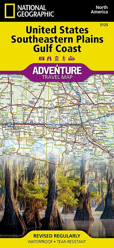
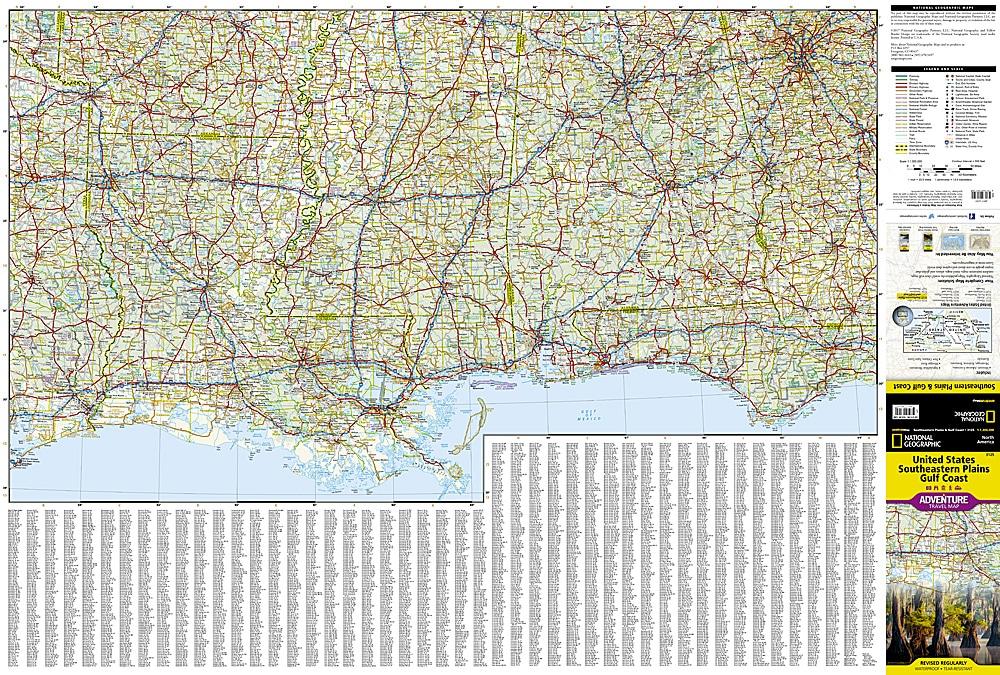
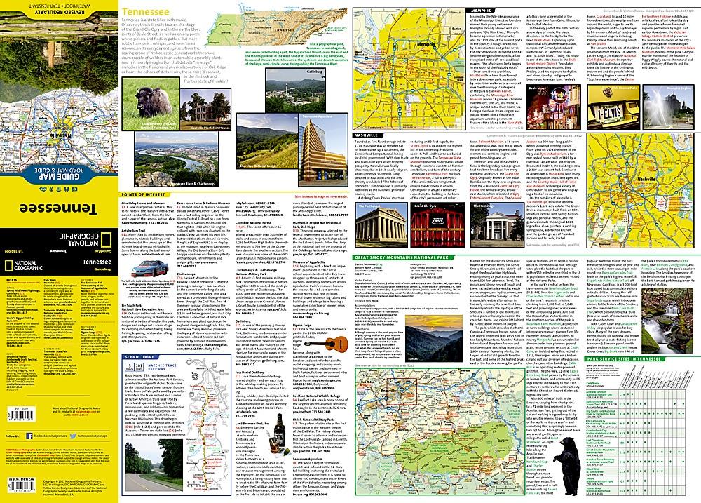
The map shows the main points of interest from the Mississippi to New Orleans.
With clearly marked, easy-to-read, and up-to-date streets, a clear, up-to-date map image, and a level of detail, the map is the perfect tool to help you get the most out of your visit to this particular region.
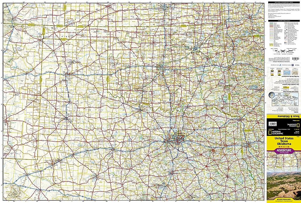
The thematic map contains detailed information on cities and towns as well as the road network. Car and motorcycle travelers will always find their way thanks to motorways, expressways, main roads, provincial roads, and secondary roads, which are clearly visible and represented.
Integrated information with a place index and travel information complements the map.


