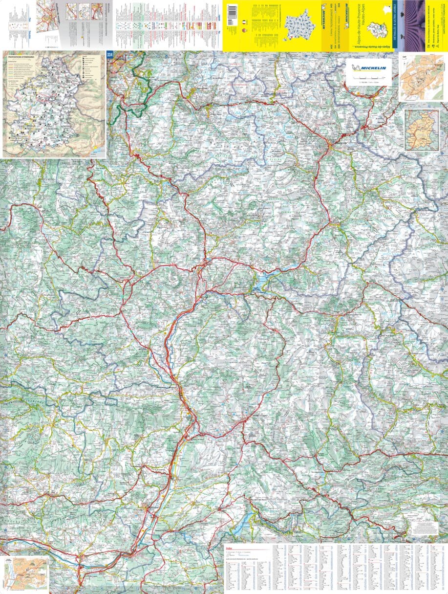
The IGN TOP 25 hiking map No. 3537 ET covers the following area: Guillestre, Vars & Risoul, Queyras Regional Nature Park.
This detailed map includes part of the Queyras Regional Nature Park.
The map extends from the Col d'Izoard to Vars from north to south, and from the Durance to Château-Queyras from west to east.
- Contour lines at 10-metre intervals.
- Detailed legend: vegetation, rocks, watercourses and more.
- Hiking trails are shown.
- Scale: 1:25,000.
- GPS-compatible.
Municipalities covered: Eygliers, Château-Ville-Vieille, Risoul, Ceillac, Saint-André-d'Embrun, Arvieux, La Roche-de-Rame, Saint-Crépin, Réotier, Guillestre, Saint-Clément-sur-Durance.
Places to discover: Massif du Queyras, Lac St-Anne, Pic des Houerts, Pic Saint-André, la Mortice, l'Ange Gardien, Pic du Béal Traversier, Pics de la Font Sancte, la Casse Déserte, Pointe de la Saume, Pic du Cros, la Demoiselle Coiffée, Pic des Heuvières, Pic de Panestrel, Pic des Beaudouis, Sommet Bu.