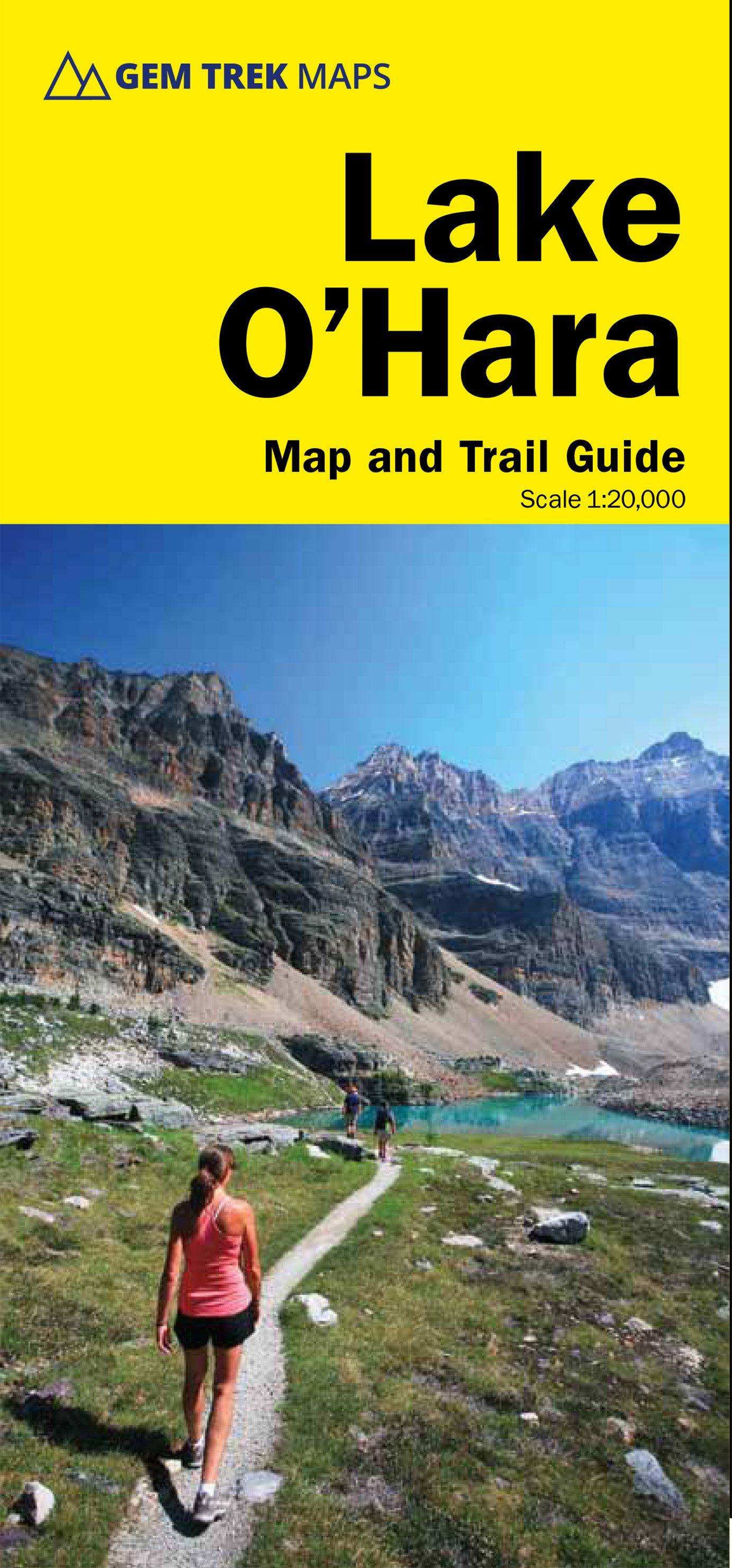
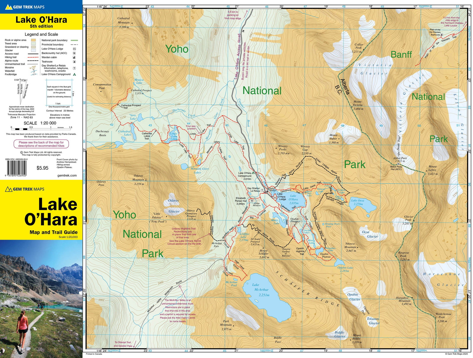
Waterproof topographic map of the O'Hara Lake Area in Yoho National Park in British Columbia (Canada) published by Gem Trek. p>
25 meter spaced curves, hiking trails with detailed explanations, distances, differences and durations. Indication of campsites, hotels, outdoor activities and detailed legend included. P>
Scale 1 / 20,000 (1 cm = 200 m). p>
Cover (publisher description): The lake o'hara map em> span> cooks the entire lake o'hara region, from Duchesnay Basin the West to the Highst Peaks Of the Continental Divide in the East and from The Access Road in the North to Lake McArthur in the South. p>
Popular Hiking Trails on Lake O'Hara Map Include Lake O'Hara Lakeshore, Lake Oesa, Lake Mcarthur, Opabin Plateau, Linda Lake, Cathedral Prospect, and The Lake O'Hara Alpine Circuit. p>