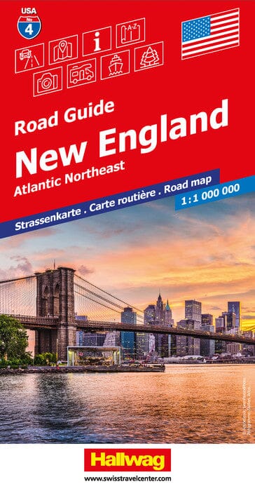
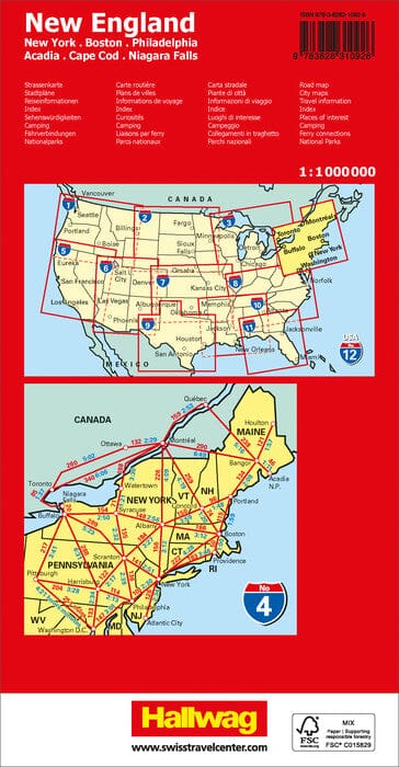
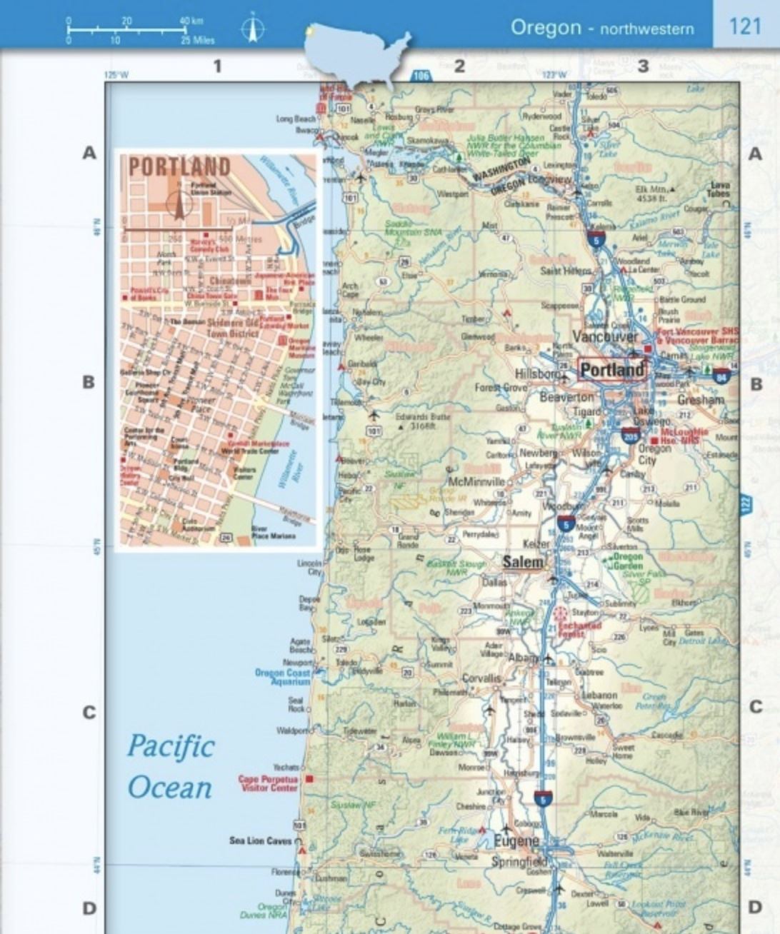
Road map of New England (northeastern USA) published by Hallwag International. This Northeast Atlantic map runs from Maine to Washington (North to South) and Pittsburgh to New York (from West East) and includes Cape Cod and Boston. In ink, Long Island plans, and Buffalo agglomerations, Pittsburgh, Rochester, Bridgeport, Niagara Falls and New York. Index of the cities of New England included.
ISBN/EAN : 9783828310926
Publication date: 2024
Scale: 1/1,000,000 (1cm=10km)
Printed sides: front
Folded dimensions: 25 x 13 x 1.2cm
Unfolded dimensions: 138 x 100cm
Language(s): multilingual including French
Weight:
184 g


