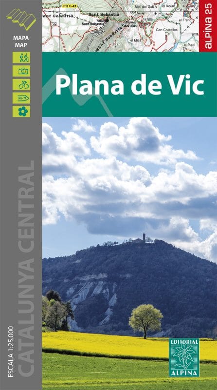
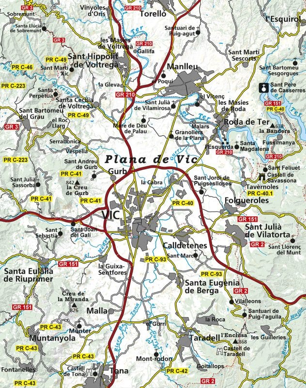
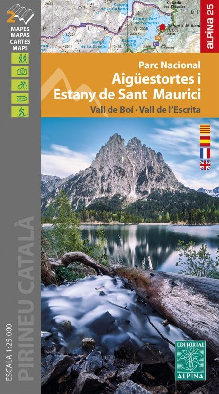
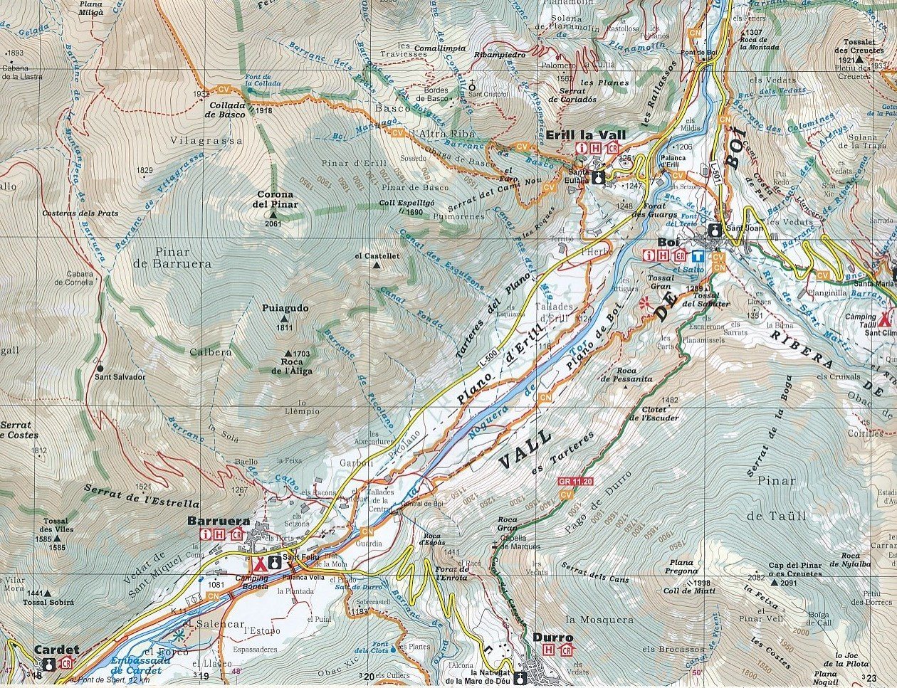
The Plana de Vic map at a scale of 1:25,000 represents a new addition to Editorial Alpina's extensive cartographic catalog. Traditionally focused on mountain areas, the Plana de Vic is a region with a great tradition of hiking, an important network of trails (GR, PR...) spread throughout the territory and a rich cultural and natural heritage which make it a place often unknown, even to its own inhabitants.
-Scale 1:25,000
-Distance contours: Distance of 10 m
-Main contours: 50 m
-Shaded relief
-Compatible with GPS
-Marked routes


