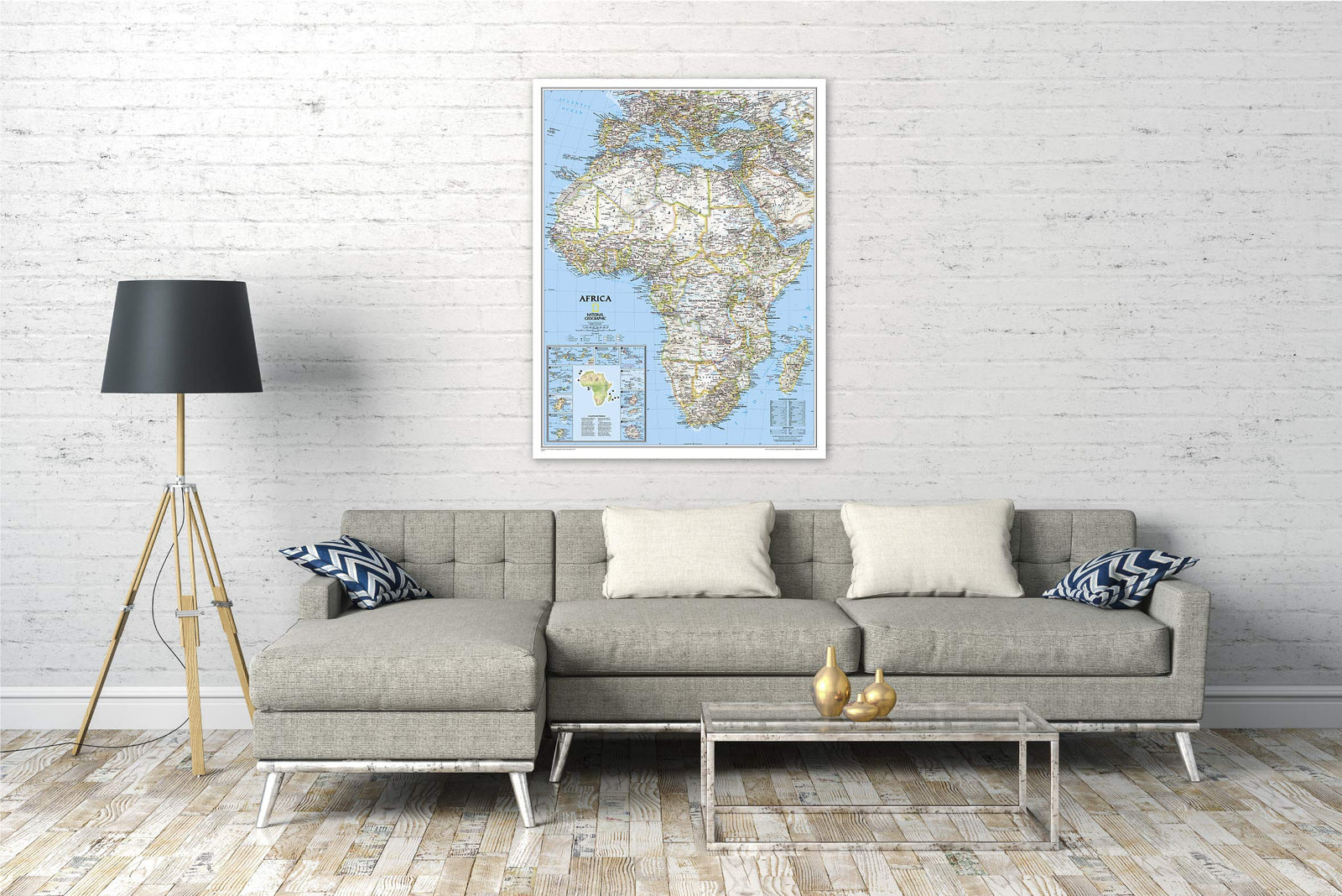
South Africa Classic Wall Map (30.25 X 23.5 Inches), in tube | National Geographic

Price
Regular price £2495
Regular price Sale price £2495
/
  • In stock in the USA and in the UK
    Shipped within 24 to 48h from the warehouse closest to you
  • Real-time inventory
  • Cartovia Guarantee – Delivery issue?
    We resend immediately upon receiving a simple photo.
  • Low stock - 4 items left
  • Backordered, shipping soon
Tax included.

Often purchased together:

This National Geographic wall map depicts South Africa in the famous Classic cartographic style, with clear readings of the territory, relief, and main transportation networks.

It represents the nine South African provinces as well as neighboring countries: Namibia, Botswana, Zimbabwe, Mozambique, Eswatini, and Lesotho. The main national parks and nature reserves of Southern Africa are also indicated.

The map uses numerous place names in local languages and highlights physical geography with shaded relief and specific symbols for sand areas, salt marshes, and swamps.

Map Information

  • Dimensions: 60 × 77 cm
  • Classic National Geographic Style
  • Nine provinces of South Africa
  • Bordering countries
  • National parks and nature reserves
  • Shaded relief
  • Sand areas, salt marshes, and swamps
  • Highways and roads
  • Passenger railway network
  • Main airports
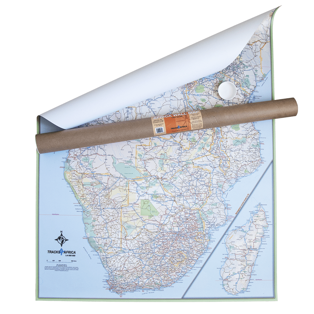
  • Map delivered in a protective tube


ISBN / EAN : 9781597755887
Echelle : 1:3,044,000 (1 cm = 30 km)
Dimensions déplié(e) : 60 x 77 cm (23.5" (W) x 30.25" (H))
Langue : English
Poids : 160 g