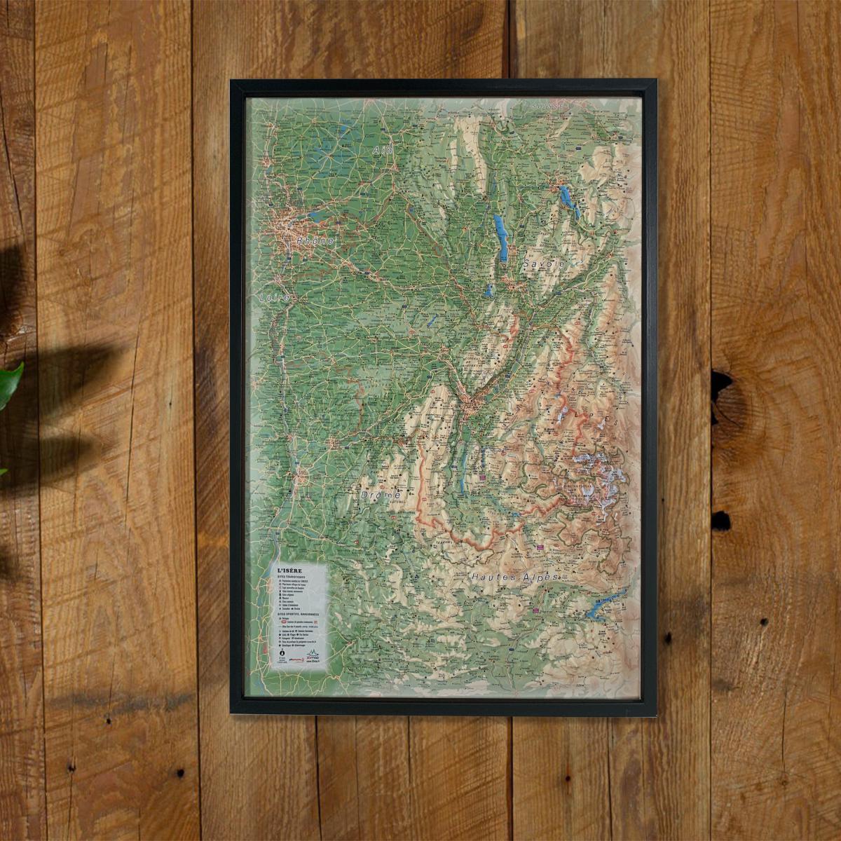
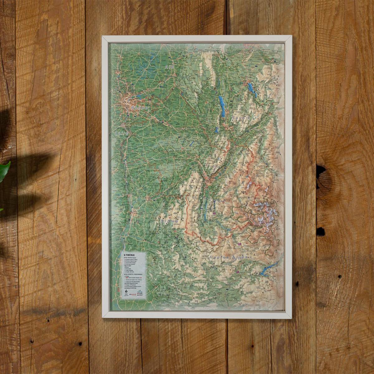
Explore the remarkable diversity of the French Alps with this raised relief wall map of Isère, showcasing major mountain ranges (Vercors, Chartreuse, Belledonne, Écrins), valleys, plateaus, ski resorts, natural wonders and cultural landmarks. Its detailed 3D modeling offers an intuitive understanding of the region’s terrain.
A finishing frame is available as an optional accessory; we strongly recommend it for easier hanging and a refined display.
Information shown on the map:
General data:
• Hydrological, natural, hypsometric and administrative information
Touristic & cultural sites:
• Museums
• Most Beautiful Villages of France
• Golf courses
• Beaches
• Aerodromes
Historical & religious sites:
• Legendary monuments and castles
• Religious sites
• Alpine & Nordic ski resorts
• Paragliding areas (take-off & landing zones)
Natural sites & outdoor activities:
• Thermal spas
• Waterfalls, gorges and caves
• Glaciers and major peaks
• Alpine massifs
• Long-distance hiking trails (GR)
• Trail routes
• Via ferrata
• White-water activity zones
Observation, orientation & routes:
• Notable routes
• Mountain refuges
• Vauban fortifications network
• Observatories
• Orientation tables
Scale:
1 : 370,000
A perfect map for hikers, mountaineers, outdoor sports enthusiasts, geography lovers or anyone wishing to display a beautiful and accurate representation of the Isère department.