3D Relief Wall Map - Physical Map of France & Seabed - 61 cm x 41 cm | 3D Map

Price
Regular price £3500
Regular price Sale price £3500
/
  • Shipped within 24 to 48h from our warehouse in France
  • All-inclusive price: customs duties are already paid by Cartovia
  • Real-time inventory
  • Cartovia Guarantee – Delivery issue?
    We resend immediately upon receiving a simple photo.
  • Low stock - 1 item left
  • Backordered, shipping soon
Tax included.

Often purchased together:

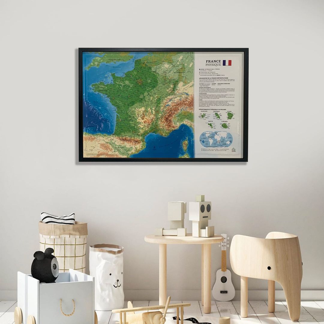
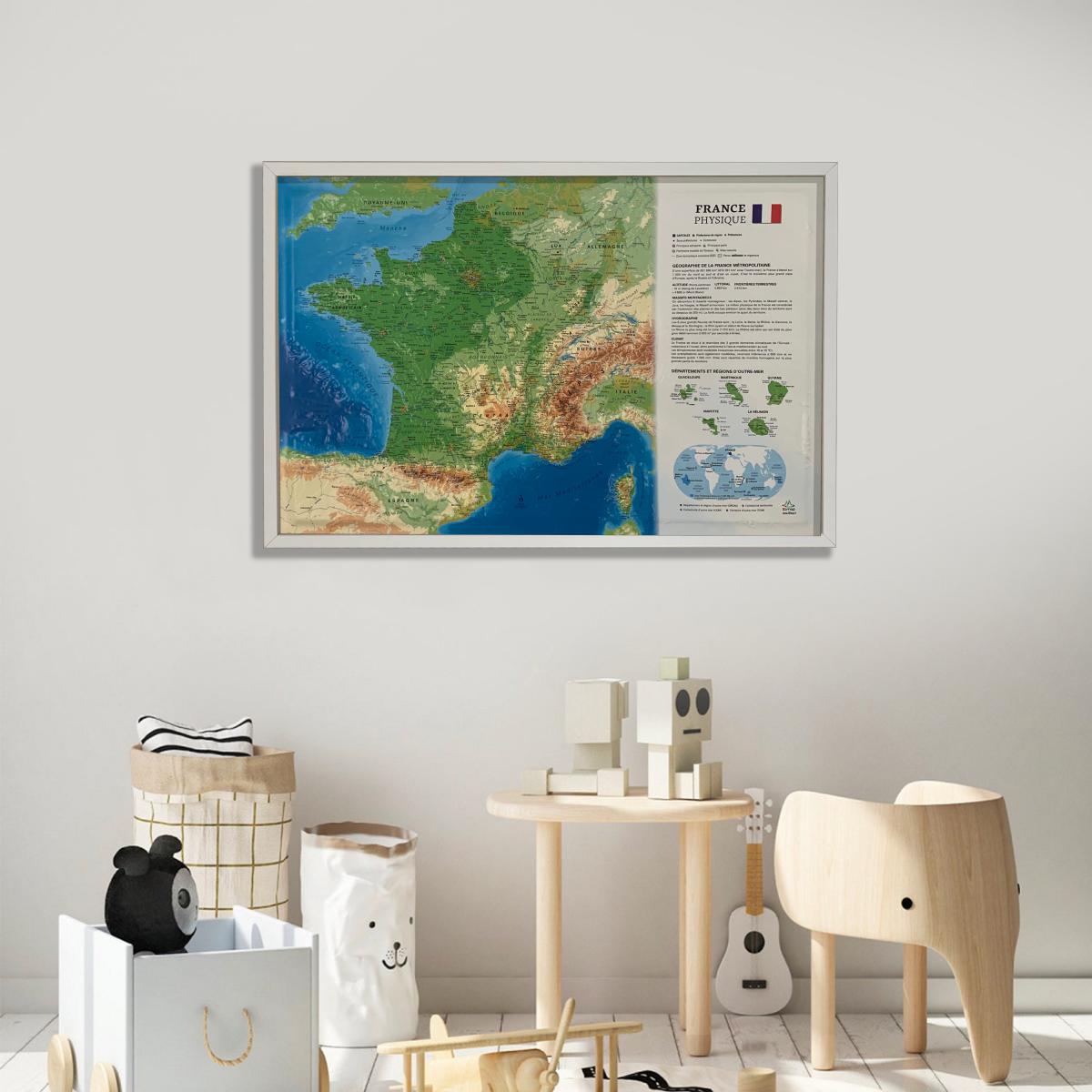
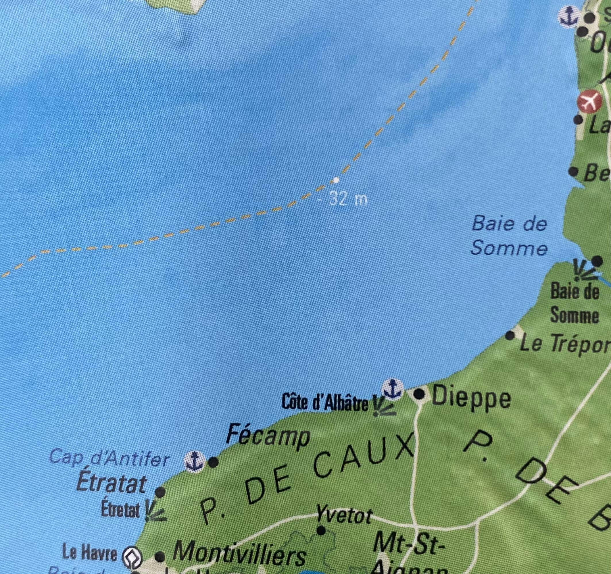
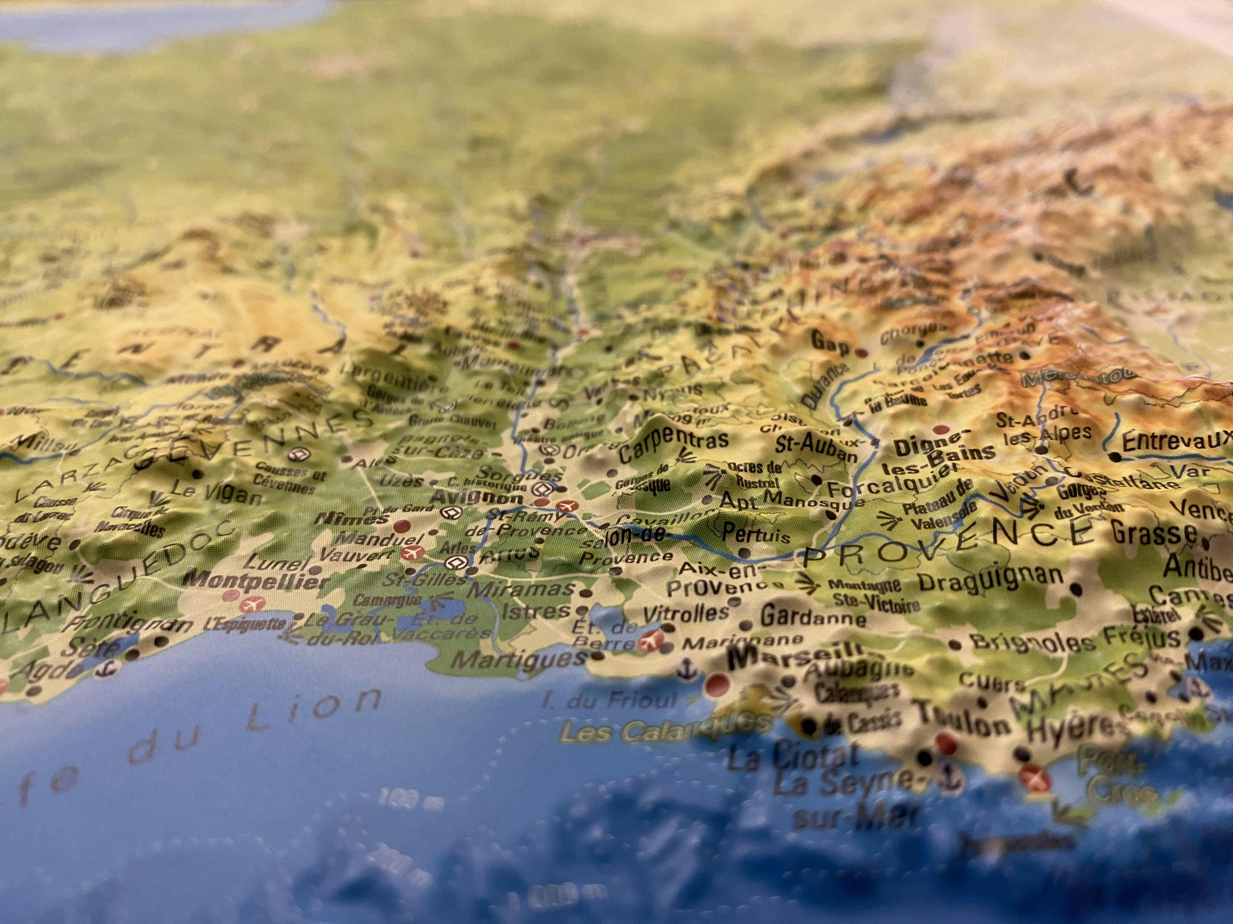
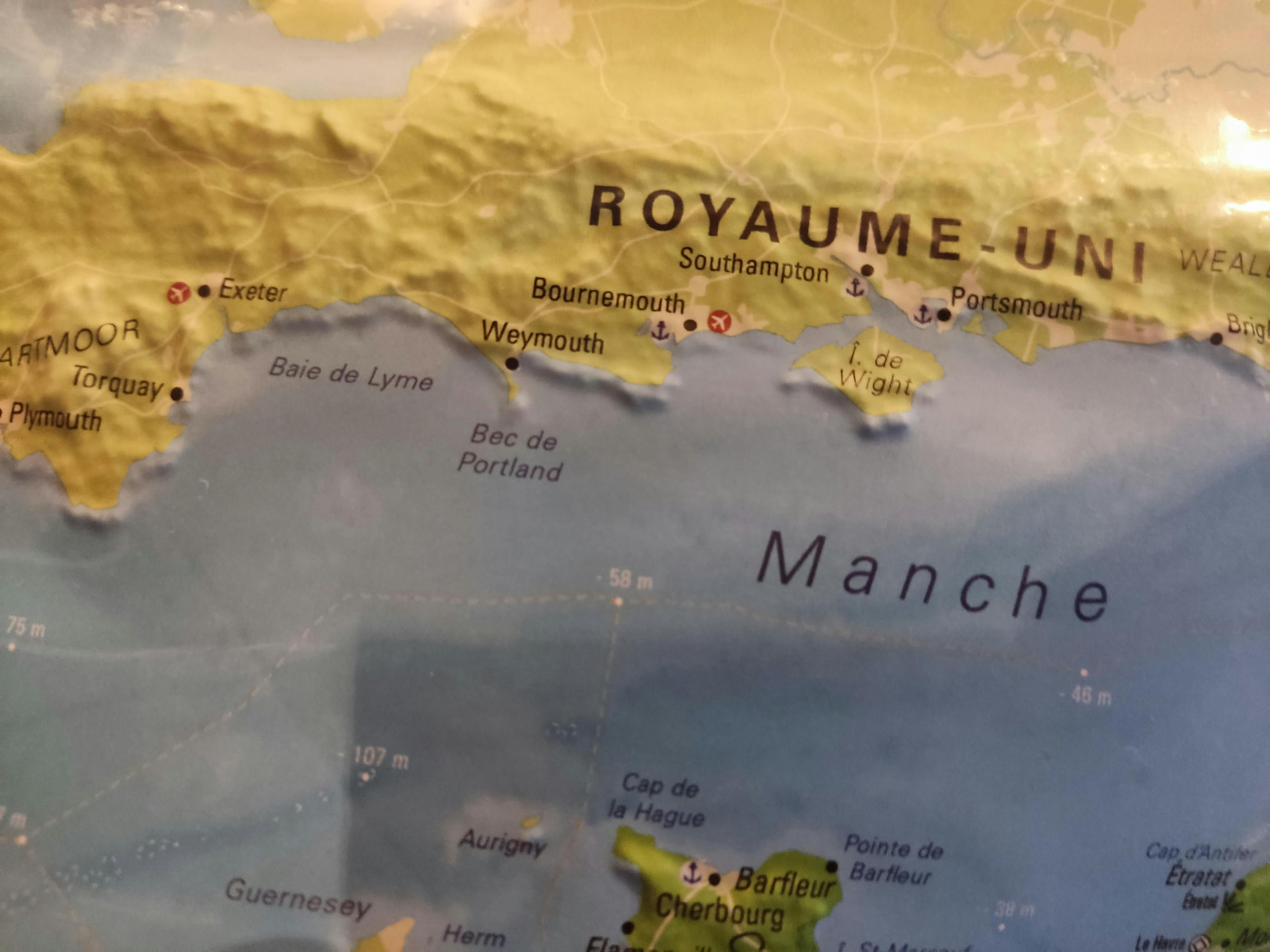
Explore France from a new perspective with this 3D relief wall map of physical France and its seabed. The map highlights the major geographic features — mountain ranges, basins and plateaus — as well as cultural and historical regions, while adding a new feature: a detailed representation of the seabed surrounding France.

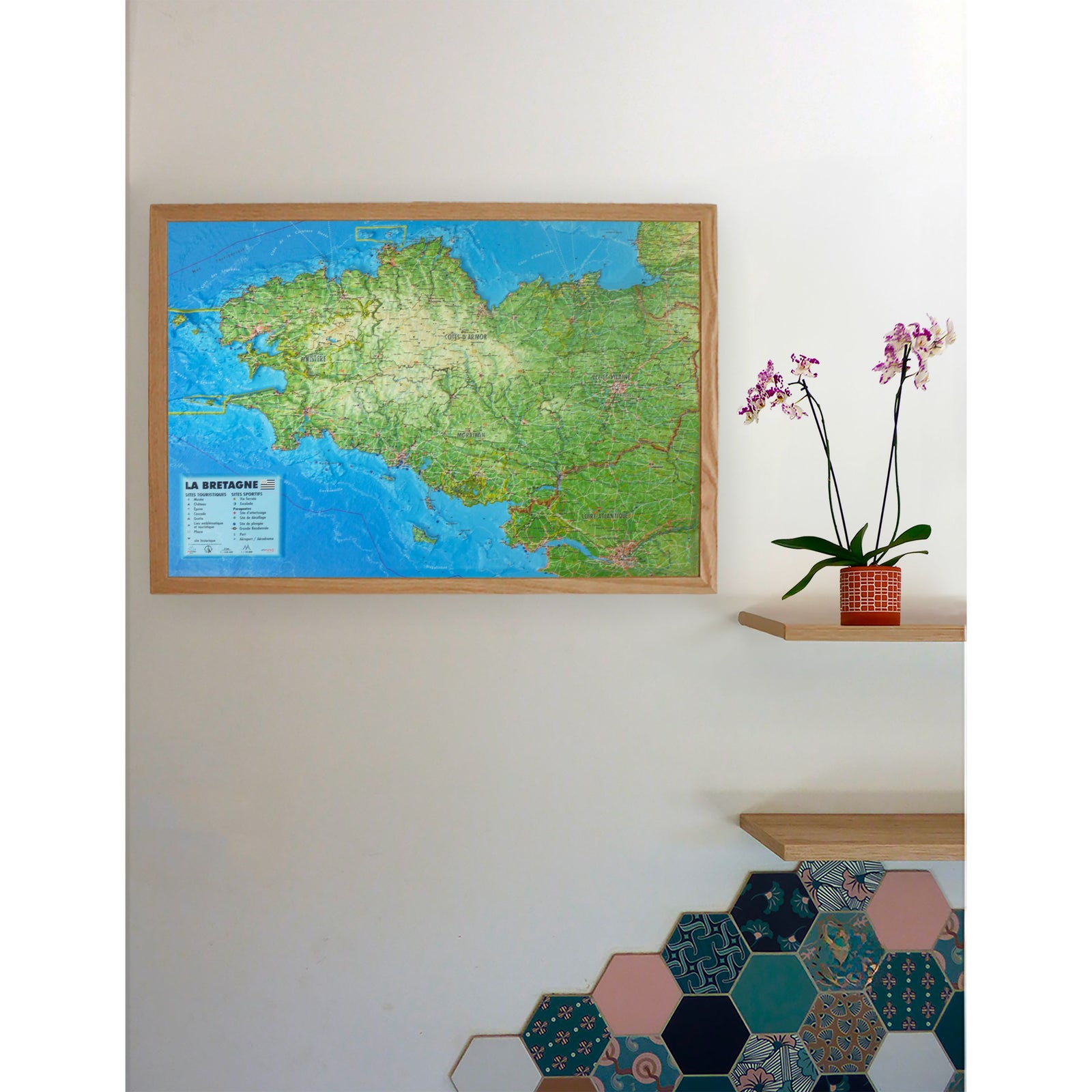
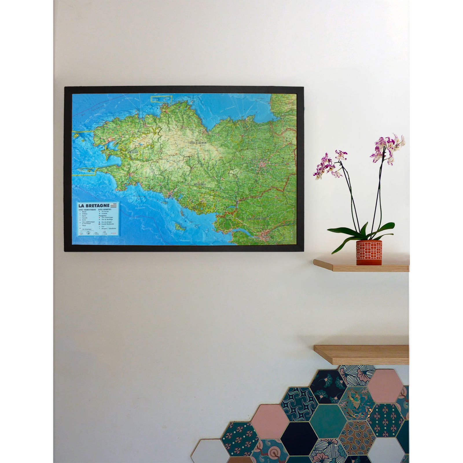
An optional finishing frame is available. We highly recommend it for easier wall mounting and to enhance the map.

Information shown on the map:

  • New: representation of the seabed
  • Major geographic features: mountain ranges, basins, plateaus, cultural and historical regions
  • Major peaks
  • Rivers, departments and prefectures
  • National parks and regional nature parks
  • Sub-prefectures
  • Overseas collectivities and territories
  • Mini world map
  • Explanatory panel on the hydrology, climate and geography of France

Scale and dimensions:

  • Scale: 1:2,725,000
  • Dimensions: 61 × 41 cm

This map is ideal for geography enthusiasts, teachers, students or anyone looking for a comprehensive view of the French territory, from its landforms to the surrounding sea depths.


ISBN/EAN : 9791097206109
Publication date: 2018
Scale: 1/2 725 000 (1 cm = 27.25 km)
Unfolded dimensions: 61cm x 41cm
Language(s): French
Weight: 136 g