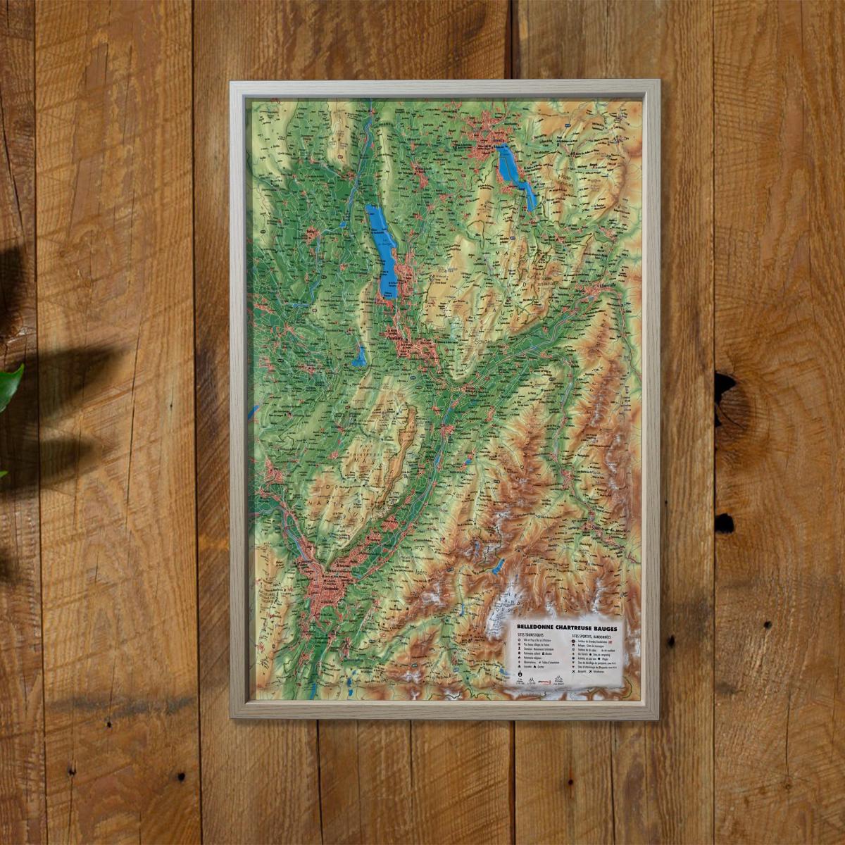
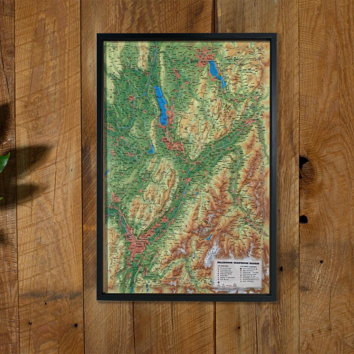
3D Relief Wall Map - Bauges, Belledonne, Chartreuse - 41 cm x 61 cm | 3D Map

Price
Regular price £3500
Regular price Sale price £3500
/
  • Ships within 7 to 10 business days.
    Currently in transit to our warehouse in France.
  • Cartovia Guarantee – Delivery issue?
    We resend immediately upon receiving a simple photo.
Tax included.

Often purchased together:

Explore iconic Alpine landscapes with this 3D relief wall map covering the Bauges, Belledonne and Chartreuse massifs. Made with great precision, it highlights three major massifs appreciated for their varied scenery, outdoor activities and rich cultural heritage.

An optional finishing frame is available for easier wall mounting and to enhance the map.

General information shown on the map:

  • Hydrological, natural, hypsometric and administrative data

Tourist sites:

  • Les Plus Beaux Villages de France
  • Towns and Areas of Art and History
  • Grands Sites Occitanie
  • Cultural and religious heritage
  • Museums
  • Natural sites
  • Waterfalls
  • Prehistoric sites
  • Caves
  • Viewpoints and orientation tables

Sports and outdoor activities:

  • GR long-distance hiking trails
  • Mountain refuges and lodges
  • Alpine and Nordic ski resorts
  • Via ferrata
  • Thermal resorts
  • Beaches
  • White-water activities
  • Paragliding sites (www.ffvl.fr)
  • Take-off and landing areas
  • Airports and airfields

Scale and dimensions:

  • Horizontal scale: 1:185,000
  • Vertical scale: 1:120,000
  • Dimensions: 41 × 61 cm

An ideal map for mountain, hiking and outdoor sports enthusiasts, or for decorating an interior with an accurate representation of Alpine relief.


ISBN/EAN : 9791097206284
Publication date: 2020
Scale: 1/185,000 (1 cm = 1.85 km)
Unfolded dimensions: 41cm x 61cm
Language(s): French
Weight: 136 g