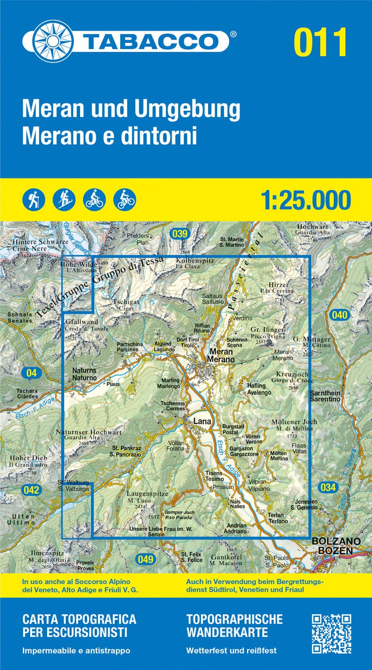
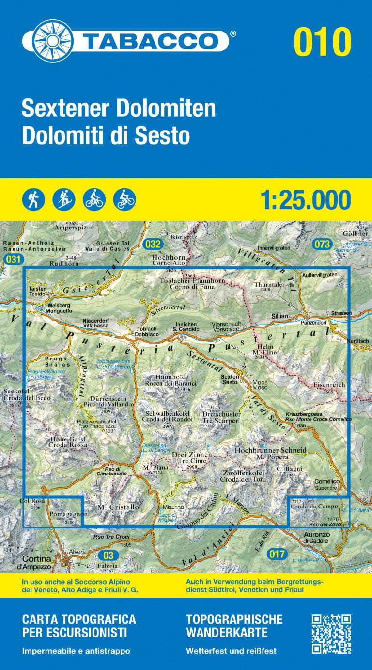
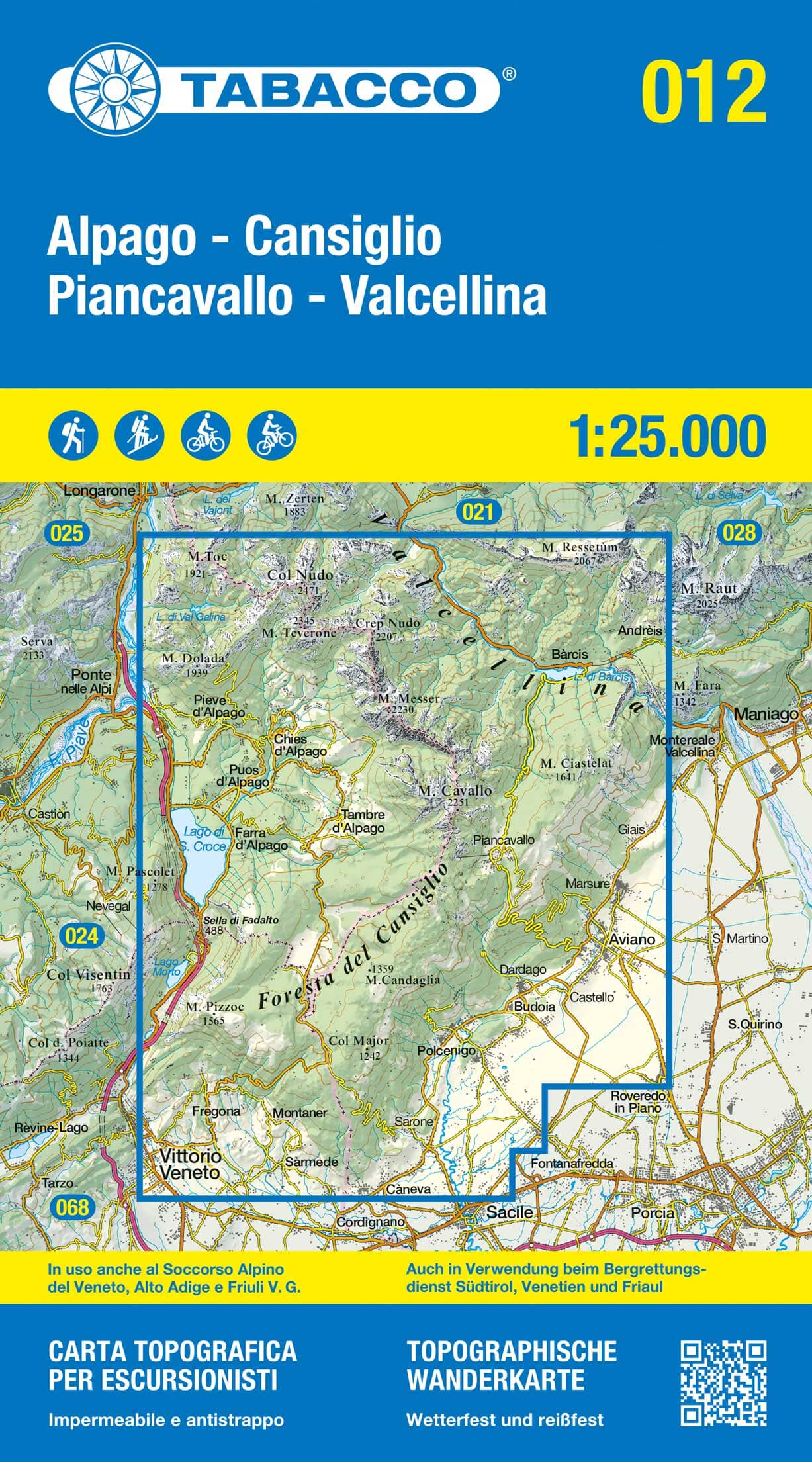
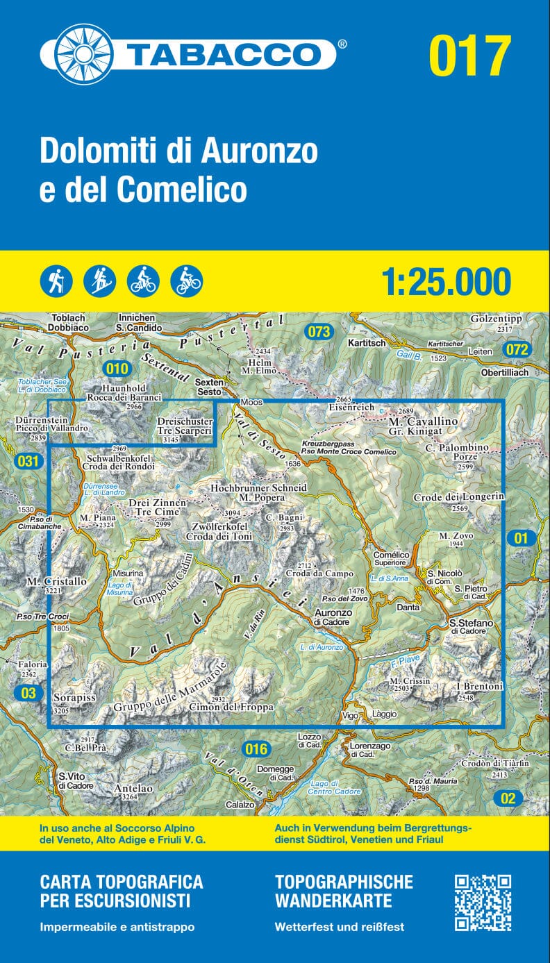
Hiking map No. 081 of Pfunderer Berge / Monti di Fundres, Italy, published by Kompass.
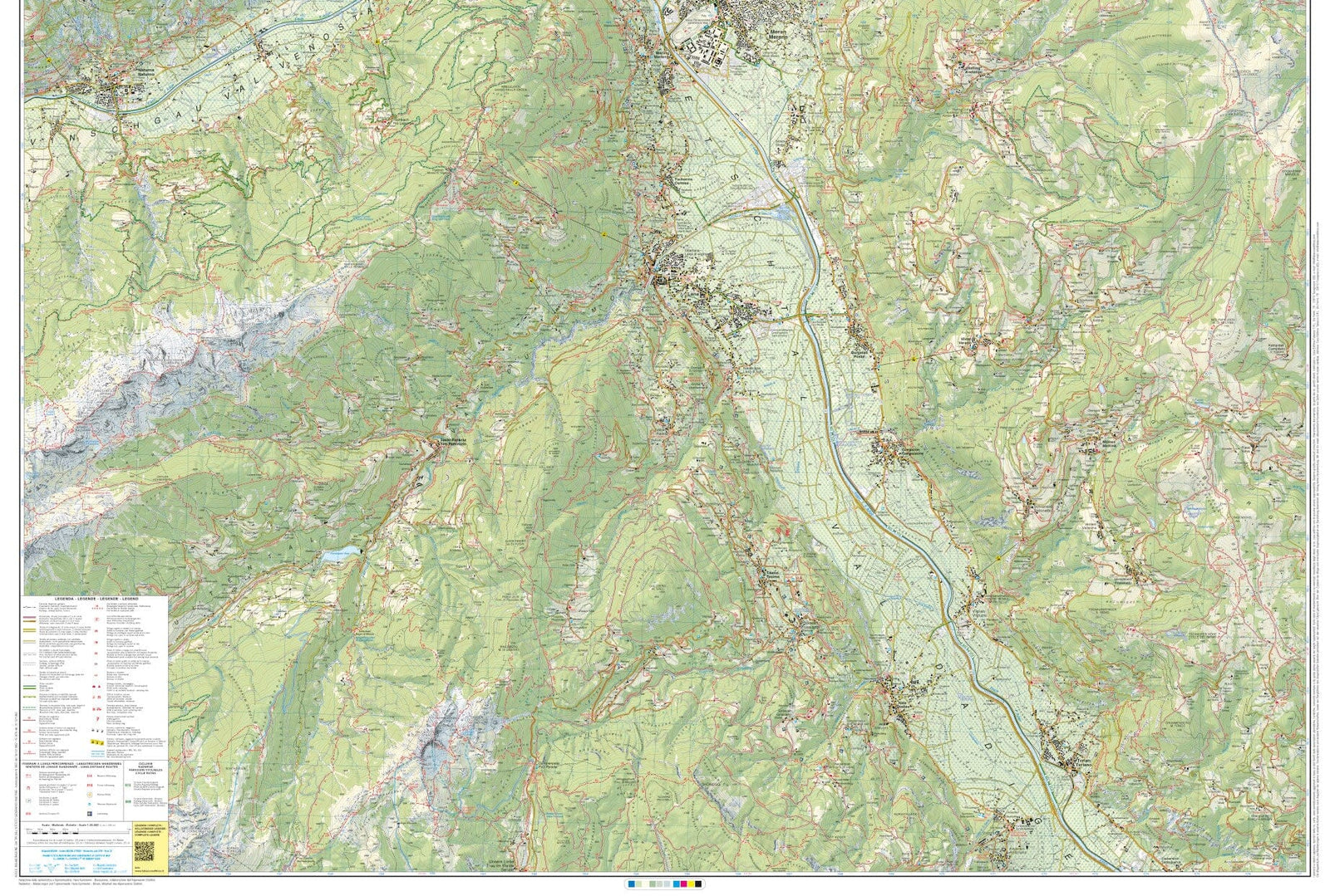
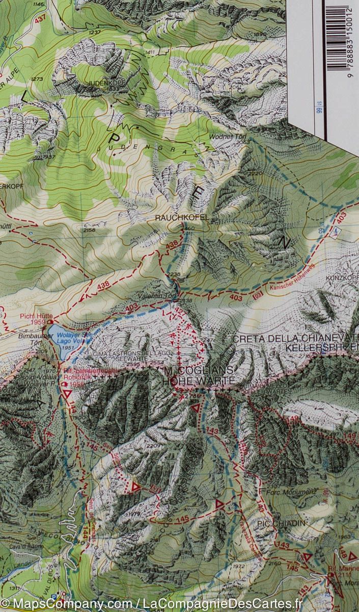
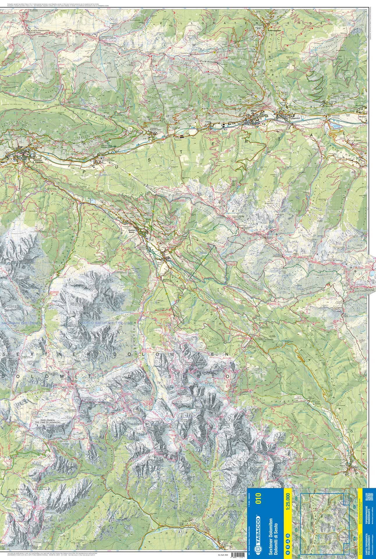
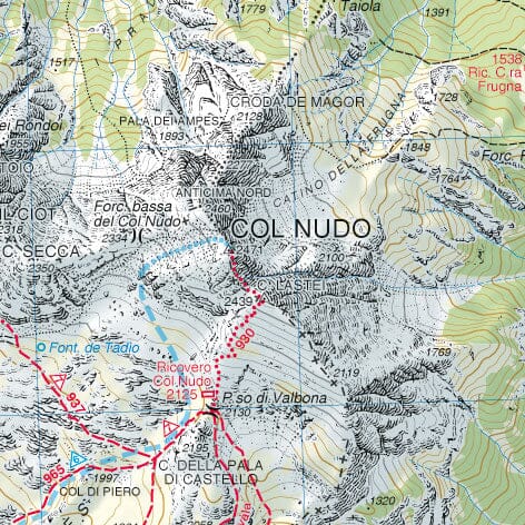
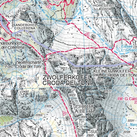
The accurate mapping includes all official hiking trails with names and route numbers, including long-distance routes, cycle paths and trails, via ferrata routes, inns and mountain huts, car parks, buses and trains, ski touring routes, cross-country skiing trails, springs, swimming spots and much more. The map is ideal for discovering new destinations, planning trips and navigating along the way. Vegetation, contour lines, rock drawings and mountain shading create an intuitive picture of the landscape.
About the region: the Pfunder mountains in South Tyrol offer stunning Alpine scenery with rugged peaks and sparkling lakes. This region is a paradise for mountaineers and nature lovers.
Map features
Scale 1:25,000: 1 cm on the main map represents 250 m on the ground.
Tear-resistant and weather-resistant paper helps the map withstand all weather conditions.
The map section is also available offline in the Kompass hiking map app.
Active Guide: supplementary booklet with extensive information about the region