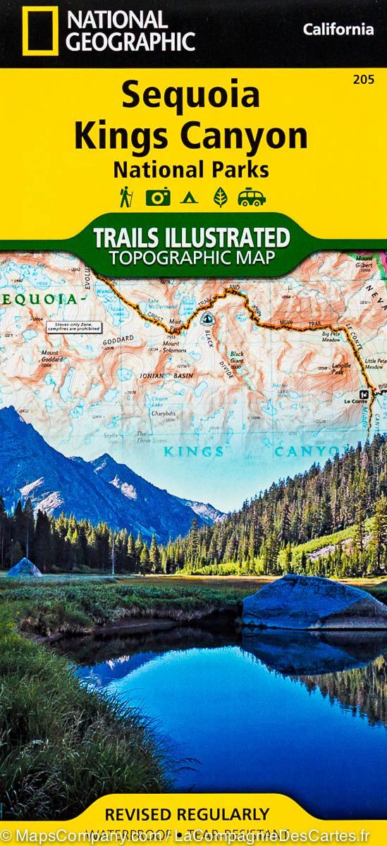
Carte de randonnée n° 816 - Big Basin & Santa Cruz (Californie) | National Geographic carte de randonnée National Geographic

Hiking map no. 816 - Big Basin & Santa Cruz (California) | National Geographic

Price
Regular price £1400
Regular price Sale price £1400
/
  • Shipped within 24 to 48h from our warehouse in the USA
  • All-inclusive price: customs duties are already paid by Cartovia
  • Free returns (*)
  • Real-time stock levels
  • Cartovia Guarantee – Delivery issue?
    We resend immediately upon receiving a simple photo.
  • In stock, ready to ship
  • Backordered, shipping soon
Tax included.

Frequently bought together:

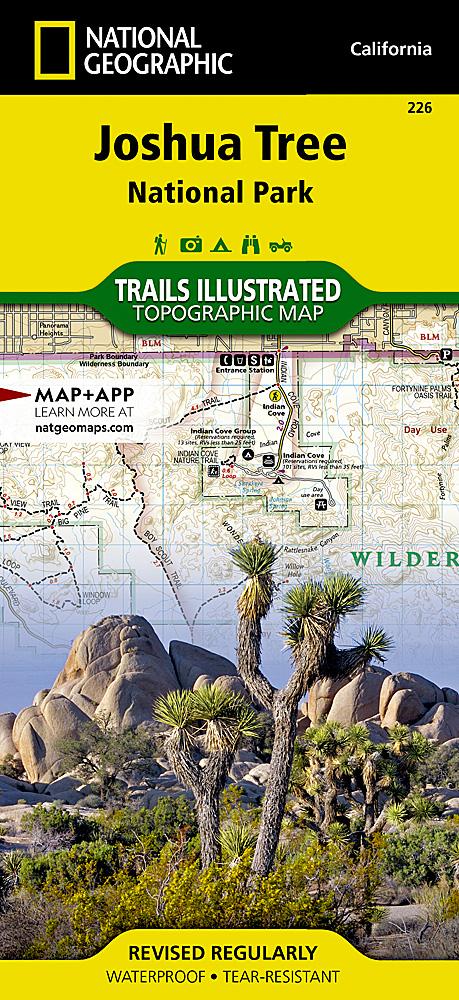
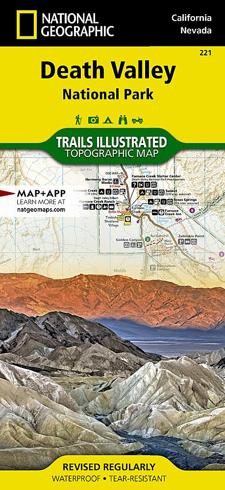
National Geographic's Trails Illustrated map of the Big Basin/Santa Cruz parks and preserves is a durable, detailed, double-sided topographic map for outdoor enthusiasts.

Created with local land management agencies, it contains valuable recreation information. Trails Illustrated maps are expertly researched and frequently updated. Printed in the United States on durable synthetic paper, they are waterproof, tear-resistant and tough enough for the trail.

Key features include:

  • Waterproof and tear-resistant construction.
  • Clearly marked trails for hiking, cycling, horse riding and more.
  • Detailed topography and clearly defined, colour-coded boundaries of state parks, national recreation areas, wilderness areas, marine sanctuaries and wildlife refuges.
  • Hundreds of points of interest, including scenic viewpoints, campsites and boat launches.


ISBN/EAN : 9781566956758
Publication date: 2020
Scale: 1/40,000 (1 cm = 400 m)
Folded dimensions: 9.45 x 4.33 inch / 24 x 11cm
Unfolded dimensions: 24.41 x 36.61 inches / 62 x 93cm
Language(s): English
Weight: 3.2 oz