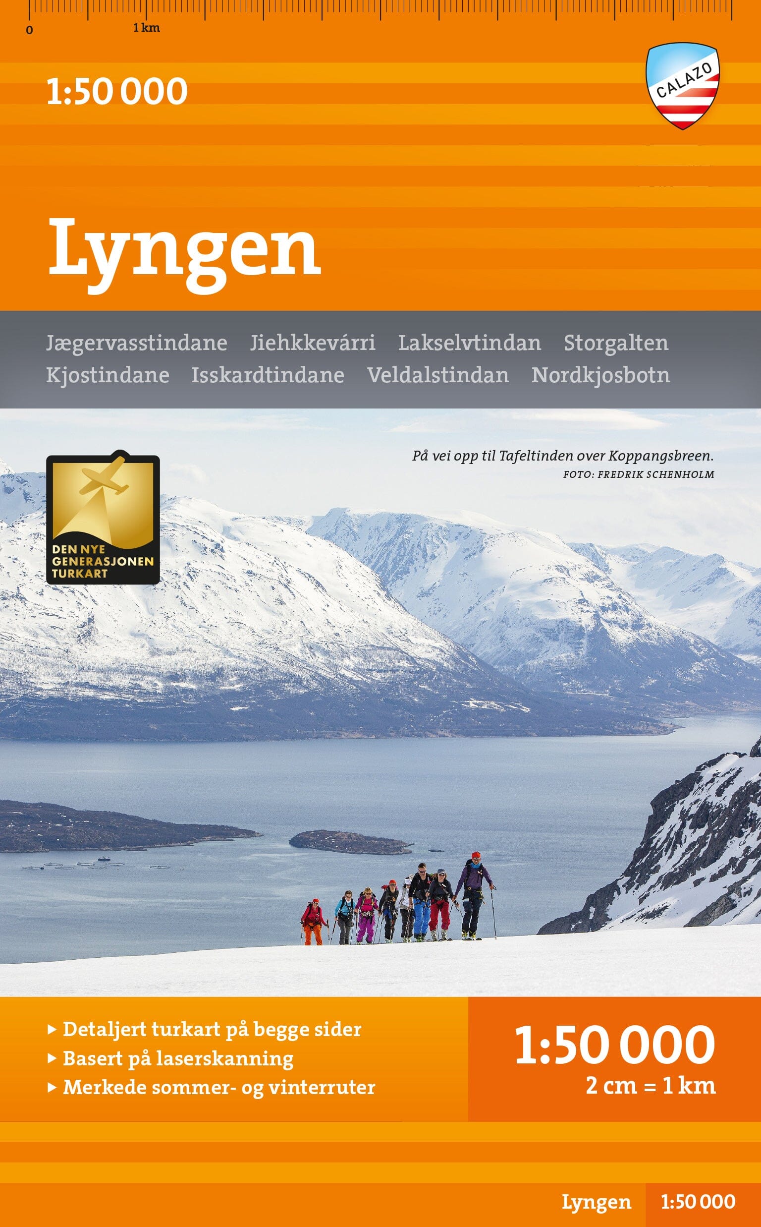
Hiking map - Femundsmarka (Norway) | Calazo - 1:50,000

Price
Regular price £1899
Regular price Sale price £1899
/
  • In stock in France and in the UK
    Shipped within 24 to 48h from the warehouse closest to you
  • Free returns (*)
  • Real-time stock levels
  • Cartovia Guarantee – Delivery issue?
    We resend immediately upon receiving a simple photo.
  • In stock, ready to ship
  • Backordered, shipping soon
Tax included.

Frequently bought together:

This Calazo hiking map covers a large part of Femundsmarka National Park and hiking areas on both sides of the Norway-Sweden border. Printed on both sides, it includes the main routes and natural areas between Langen, Rogenstugan, Svukuriset, Grövelsjön and Femundtunet.

Created from high-precision topographic data obtained through airborne laser surveys, it offers particularly detailed, up-to-date mapping.

Features

  • Scale: 1:50,000.
  • Double-sided map.
  • High-precision topographic data from laser surveys.
  • Trails updated from aerial photographs.
  • Additional routes beyond those in official databases.
  • Mountain huts and infrastructure shown.
  • Waymarked hiking routes.
  • Winter routes and groomed ski trails.

Area covered

  • Femundsmarka National Park.
  • Langen.
  • Rogenstugan.
  • Svukuriset.
  • Grövelsjön.
  • Femundtunet.
  • Border areas between Norway and Sweden.

Highlights

  • Highly detailed mapping from airborne laser surveys.
  • Trails updated from recent aerial photographs.
  • Suitable for summer hiking and winter activities.
  • Mountain huts and waymarked routes located.
  • Coverage of one of Scandinavia's most beautiful wilderness regions.


ISBN/EAN : 9789189371699
Publication date: 2026
Scale: 1/50,000 (1cm=500m)
Printed sides: both sides
Folded dimensions: 13 x 21cm
Language(s): English, Norwegian
Weight: 52 g