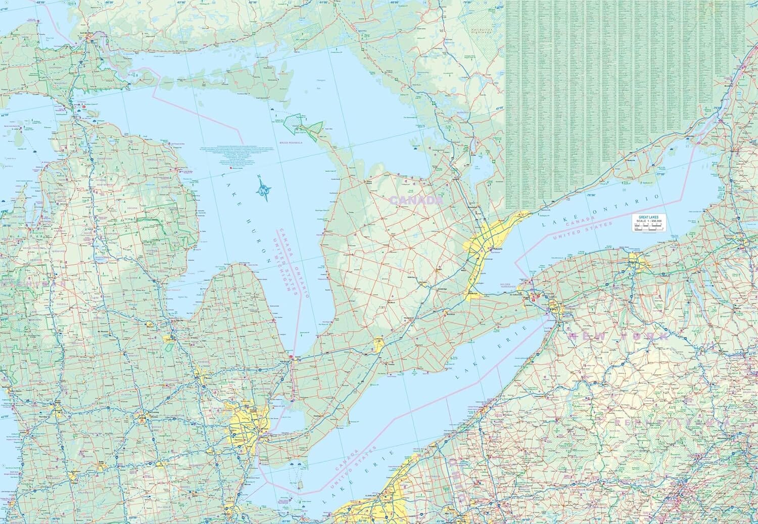
This Backroad Recreation map is the perfect exploration map for Ontario. Highlighting popular recreational areas on large-format, tear-resistant, and waterproof paper, this topographic map is built to withstand whatever Mother Nature can throw at you. Easier to read than a traditional map book, Backroad Recreation has also added fish species and local service providers. Other notable features include game management units, logging or bush road systems, trails, parks, and boat launches, as well as ATV and snowmobile routes. - Printed on large format (70 cm x 100 cm) tear-resistant and waterproof paper - Larger scale maps for better text readability - The most recent topographic maps available in Canada - Fish species for lakes and rivers - Local retailers and service providers - Color-coded road classifications distinguishing paved roads from logging roads - Labeled roads, trails and recreational features - Trail systems, including defined trails for ATVs, snowmobiles & multi-u
.