Antarctic and Arctic 1:10,000,000 | British Antarctic Survey

Price
Regular price £2100
Regular price Sale price £2100
/
  • Shipped within 24 to 48h from our warehouse in the USA
  • All-inclusive price: customs duties are already paid by Cartovia
  • Free returns (*)
  • Real-time stock levels
  • Cartovia Guarantee – Delivery issue?
    We resend immediately upon receiving a simple photo.
  • In stock, ready to ship
  • Backordered, shipping soon
Tax included.

Frequently bought together:

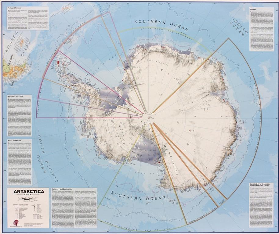
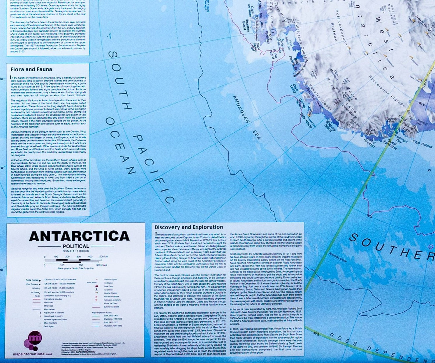
This double-sided topographic map of Antarctica and the Arctic presents both polar regions at the same 1:10,000,000 scale and with the same geographic extent.

Side A – Antarctica: coastline and ice shelves, bathymetry, ice/rock boundaries, contours, major mountain summits, shaded relief and scientific research stations.

Side B – Arctic: coastline, bathymetry, contours, major mountain summits and shaded relief, major rivers and lakes, glaciers and ice caps, plus major cities, transport networks, airports and national boundaries.

Additional panels show seasonal ice extent, Arctic climatic and biogeographic boundaries, and Antarctica’s relationship with other southern continents. Limits: 90°S–60°S and 90°N–60°N.


ISBN/EAN : 9780856652196
Publication date: 2018
Scale: 1/10,000,000 (1 cm = 100 km)
Printed sides: both sides
Folded dimensions: 9.06 inches x 5.51 inches (23 x 13 cm)
Unfolded dimensions: 33.07 inches x 33.07 inches (83 x 83 cm)
Language(s): English
Weight: 3.4 oz