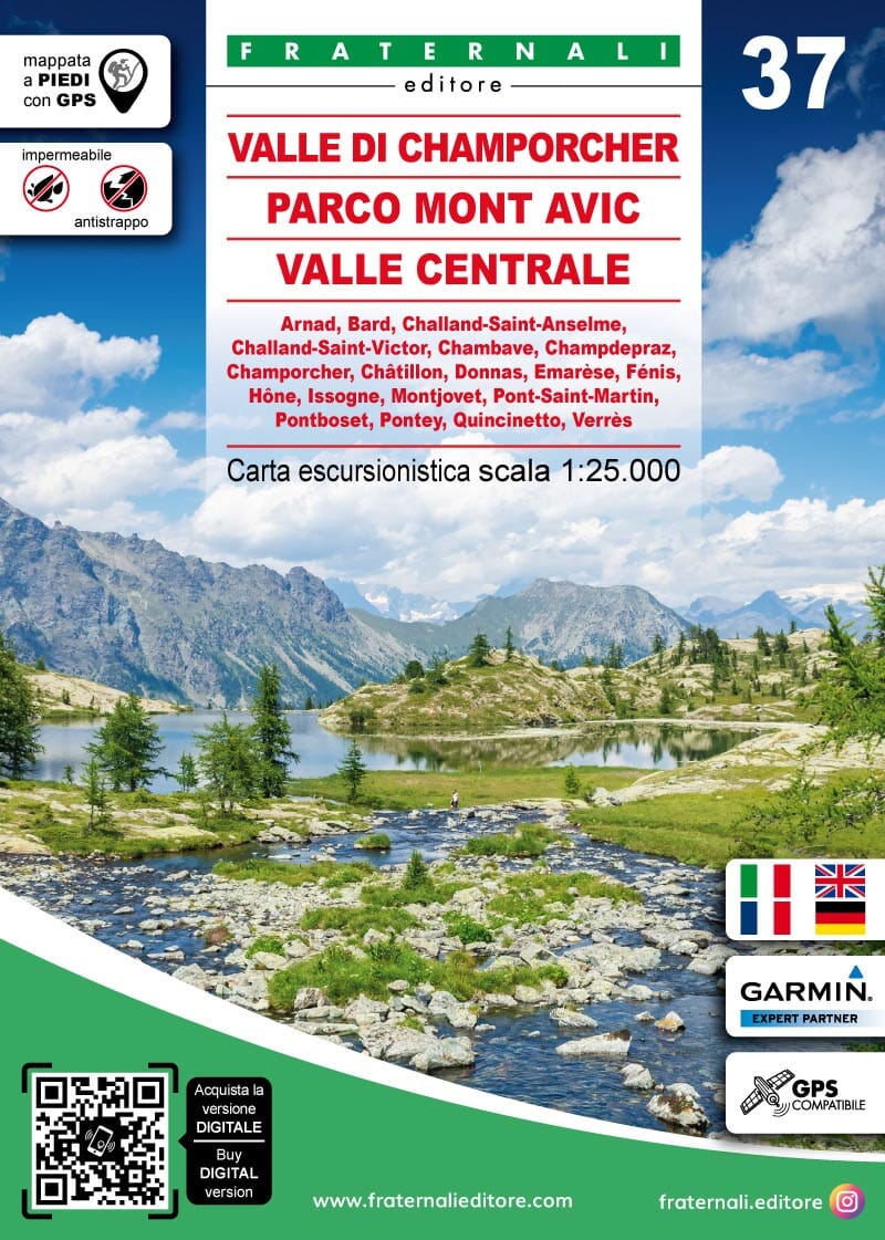
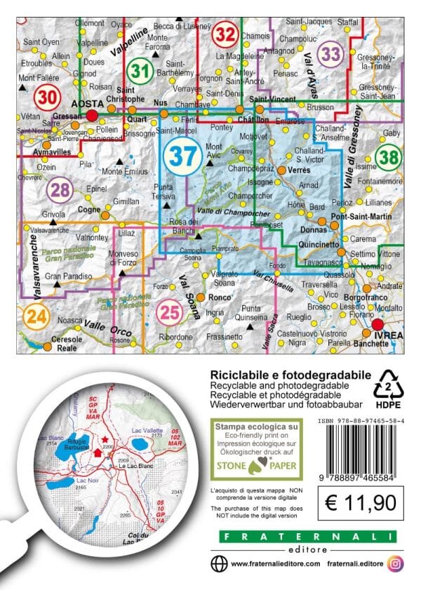
This Fraternali hiking map covers Champorcher Valley, Mont Avic Nature Park, Central Valley. It is waterproof and tear-resistant.
Places covered: Arnad, Bard, Challand-Saint-Anselme, Challand-Saint-Victor, Chambave, Champdepraz, Champorcher, Châtillon, Donnas, Emarèse, Fénis, Hône, Issogne, Montjovet, Pont-Saint-Martin, Pontboset, Pontey, Quincinetto, Verrès.
It provides hiking information, including mountain huts, bivouac sites, unstaffed shelters, climbing walls, equipped areas, places of interest, via ferrata routes and hazardous passages.
- Fountains, pylons, crosses, access restrictions, caves and other point features.
- Ski touring and mountain biking routes.
- Primary and secondary routes, named hiking trails and itineraries, and the complete road network.
- Terrain types: woodland, rocky areas, glaciers and more.
- Lakes, rivers and streams.
- National, regional, provincial, municipal and national park boundaries.
- Contour lines at intervals of 50 m, 10 m and 5 m.
- Buildings, industrial sites, churches and cemeteries; military structures and fortifications.
- Comprehensive place names, railway stations and motorway exits.
The legends and general information are fully translated into English, French and German. A UTM WGS84 metric grid is indicated in the map border.