Hiking map - Lake District South-East XT40 | Harvey Maps - Ultramap

Price
Regular price £1195
Regular price Sale price £1195
/
  • Shipped within 24 to 48h from our warehouse in the UK
  • Free returns (*)
  • Real-time stock levels
  • Cartovia Guarantee – Delivery issue?
    We resend immediately upon receiving a simple photo.
  • Low stock - 1 item left
  • Backordered, shipping soon
Tax included.

Frequently bought together:

This map by Harvey Maps covers Lake District South-East.

Ultralight, compact hiking map.

Detailed map for runners and walkers of the south eastern fells of the Lake District National Park.

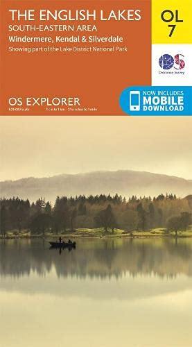
The map has Lake Windermere in the centre. Includes Ambleside, Coniston and Kendal and the superb mountain biking area of Grizedale Forest.

  • Use without a map case: tough and 100% waterproof.
  • Opens directly to either side of the sheet.
  • Rights of way are shown.
  • Covers a large area in a handy, pocket-sized format.
  • Retains the advantages of the larger formats.

The collection offers maps of regions in England, Wales and Scotland.


ISBN/EAN : 9781851376667
Publication date: 2023
Scale: 1/40,000 (1cm=400m)
Printed sides: both sides
Folded dimensions: 7.3 x 15.2cm
Unfolded dimensions: 30.4 x 87.5cm
Language(s): English
Weight: 43 g