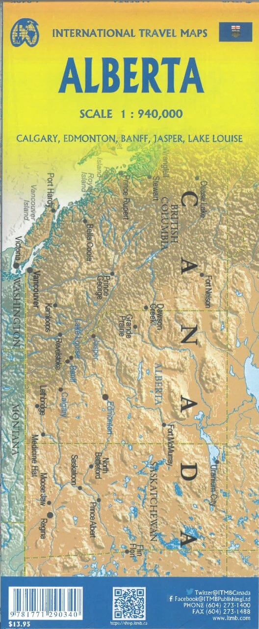
Alberta, including Banff and Jasper National Parks, and Saskatchewan on an indexed road map showing both provinces at a scale of 1:1,850,000, each accompanied by several street plans of their major cities, including detailed downtown plans of Calgary, Edmonton, Regina, and Saskatoon.
On the front, a road map of Alberta extending into British Columbia as far as Kelowna, plus street plans of Calgary and Edmonton at a scale of 1:250,000 with their more detailed downtowns at a scale of 1:25,000, plus street plans of Red Deer, Lethbridge, Medicine Hat, and Banff. On the reverse side, a road map of Saskatchewan is accompanied by street plans of Regina and Saskatoon at a scale of 1:100,000, with their city centers at a scale of 1:25,000, as well as plans of Swift Current, Lloydminster, Yorkton, Moose Jaw, Prince Albert, Battleford/North Battleford, Estevan, and Weyburn.
On the 1:1,850,000 road maps, the background highlights numerous national and provincial parks. The topography is represented by pinpoint elevations; many rivers are also named. R