Topocarte hiking map - From the banks of the Valserine to the summits of the Jura | FFRandonnée

Price
Regular price £1200
Regular price Sale price £1200
/
  • Shipped within 24 to 48h from our warehouse in France
  • All-inclusive price: customs duties are already paid by Cartovia
  • Free returns (*)
  • Real-time stock levels
  • Cartovia Guarantee – Delivery issue?
    We resend immediately upon receiving a simple photo.
  • Low stock - 2 items left
  • Backordered, shipping soon
Tax included.

Frequently bought together:

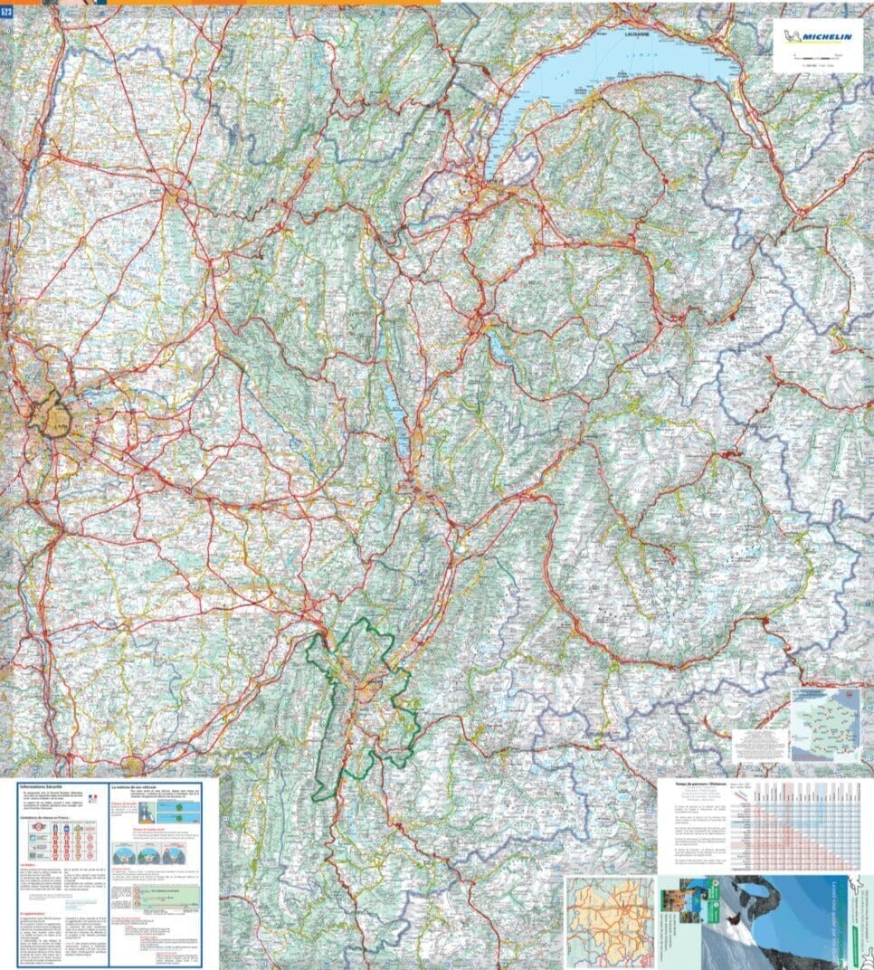
The From the Banks of the Valserine to the Summits of the Jura Topocarte map offers five days of hiking over 101 km, starting in Valserhône and following the GR® de Pays Grand tour de la Valserine.

This demanding route explores the Valserine Valley and its wild river, the Retord plateau, and the ridges and summits of the Jura. It offers panoramas of the Alps, Mont Blanc, Lake Geneva and the Jura uplands. In spring, daffodils and narcissi line the trails.


ISBN/EAN : 9782751414091
Publication date: 2026
Scale: 1/40,000 (1 cm = 400 m)
Printed sides: both sides
Folded dimensions: 25 x 10.7 x 0.3 cm
Language(s): French
Weight: 84 g