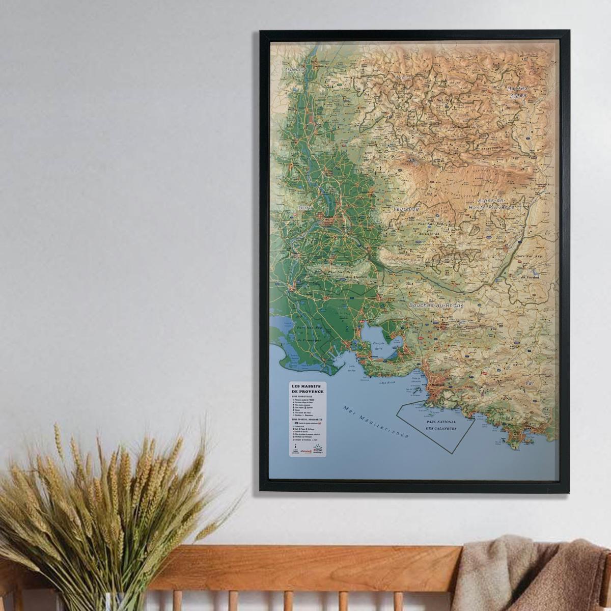
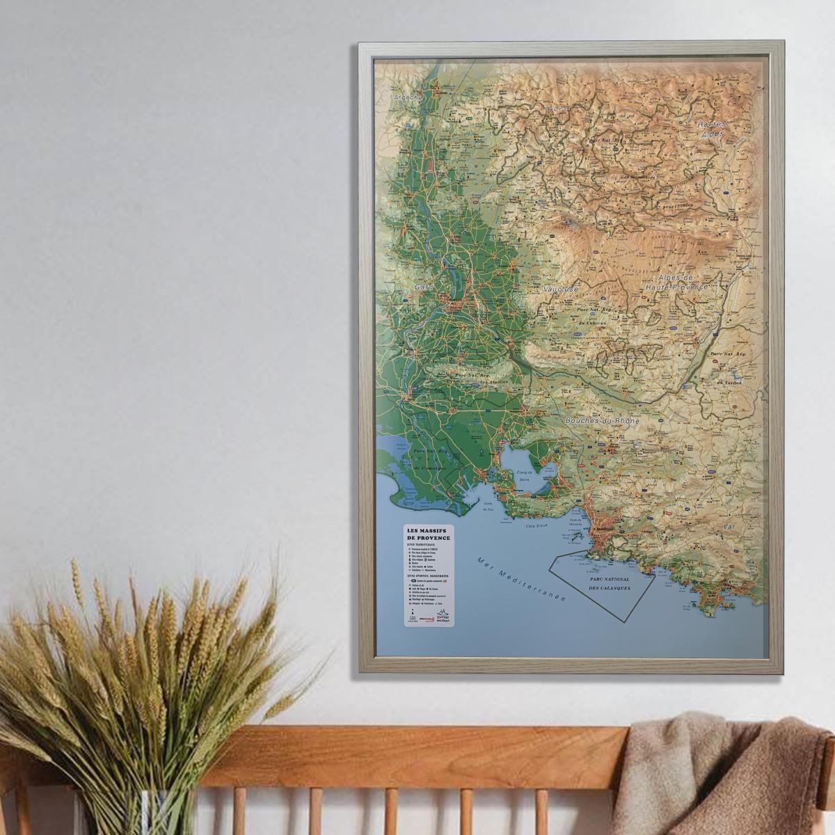
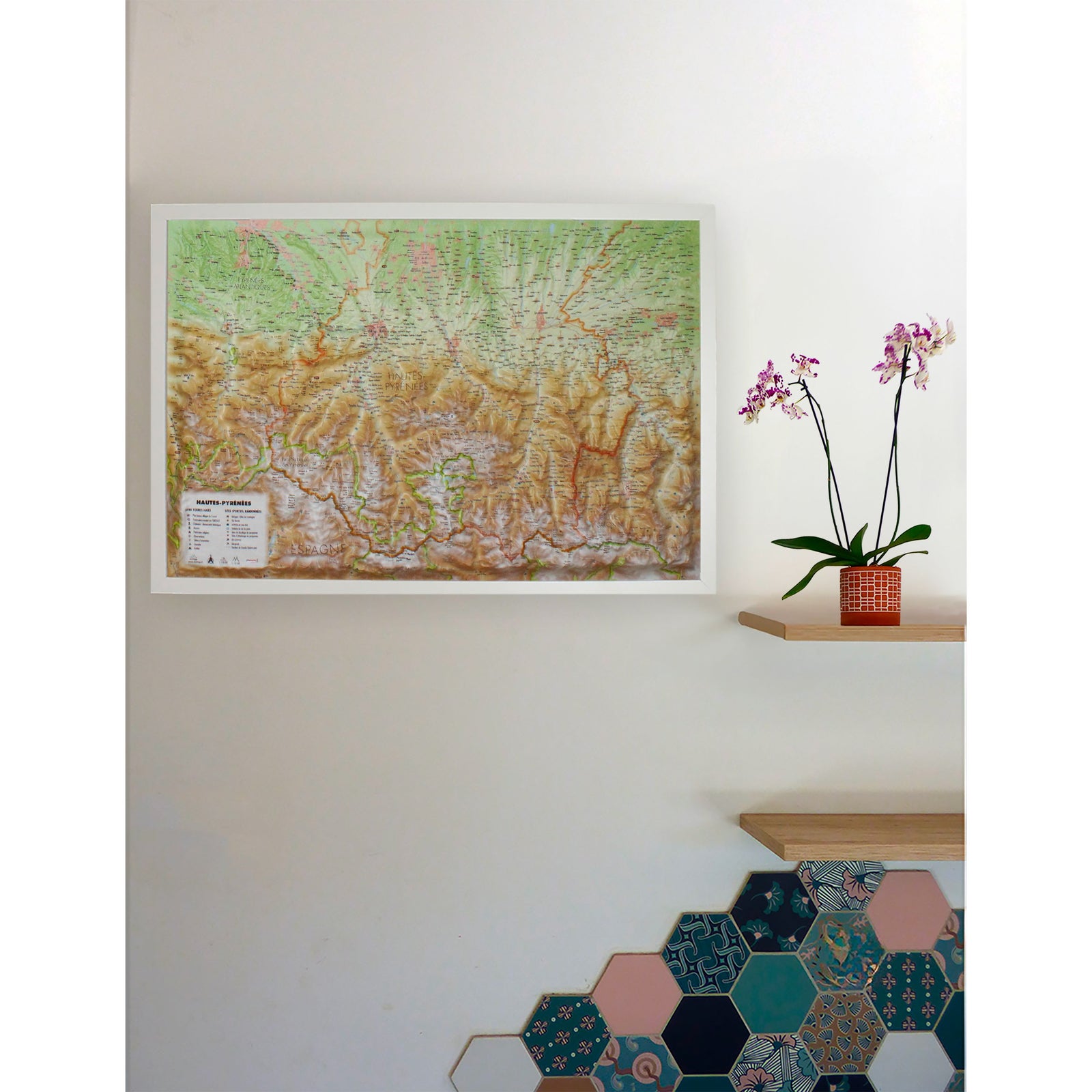
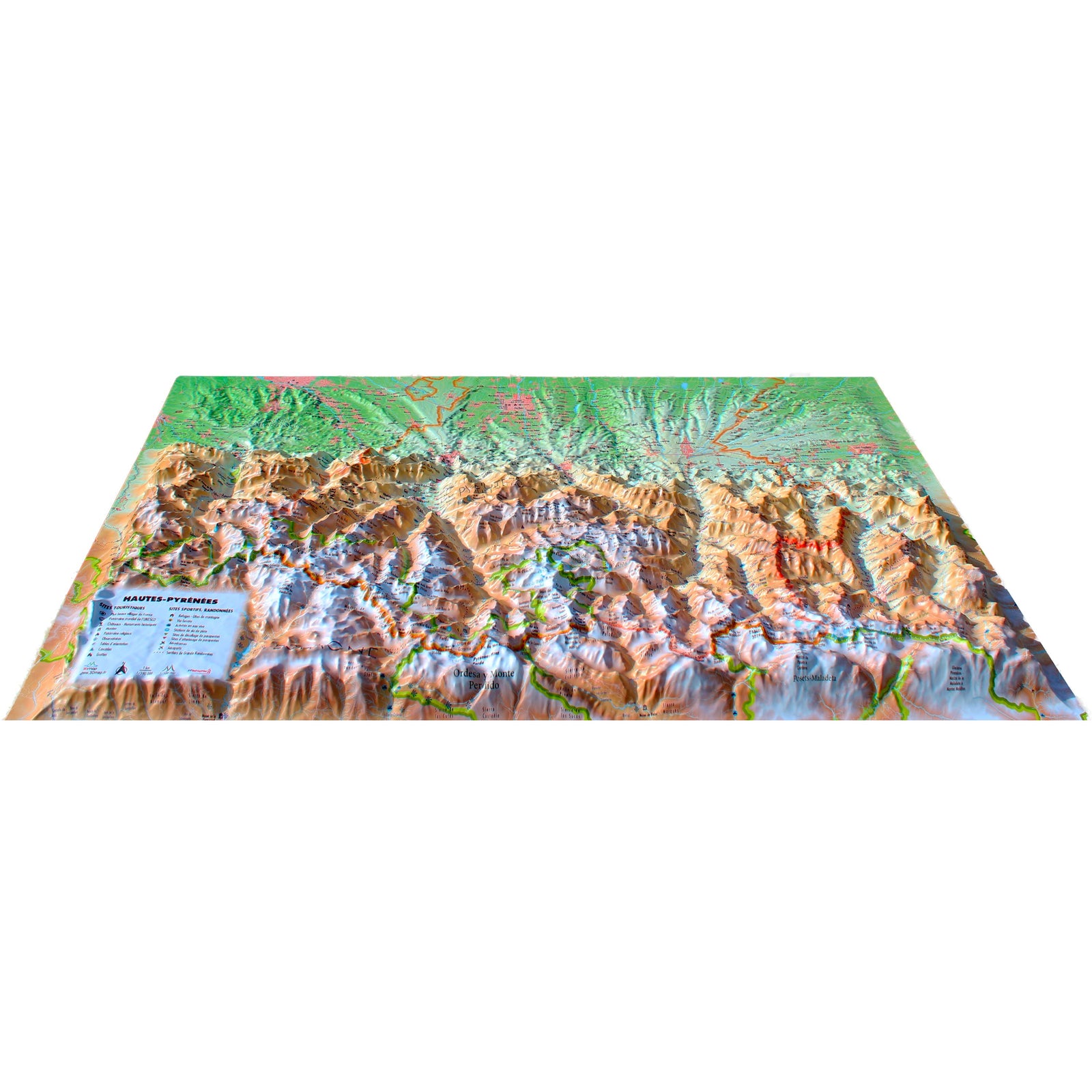
Discover the raised relief wall map of the Provence mountain ranges, offering a detailed and immersive 3D representation of iconic Provençal landscapes such as Sainte-Victoire, Lure, the Alpilles, the Luberon and Sainte-Baume. Its precise relief modeling highlights gorges, plateaus, perched villages and remarkable natural sites.
A finishing frame is available as an optional accessory; we strongly recommend it for easier hanging and a refined presentation.
Legend – Information shown on the map:
General data:
Touristic and cultural sites:
Historical & cultural landmarks:
Natural sites & outdoor activities:
-
Waterfalls, gorges and caves
-
Natural sites
-
Ski stations
-
Long-distance hiking trails (GR)
-
Via ferrata routes
-
White-water activity areas
Observation & orientation:
-
Observatories
-
Orientation tables
Scale & dimensions:
-
Scale: 1:310,000
-
Size: 41 × 61 cm
A perfect map for nature lovers, hikers, Provençal landscape enthusiasts or anyone wishing to decorate their home with a beautiful and accurate representation of Provence’s mountain ranges.