Topographic map of Wasatch Front South published by National Geographic, providing comprehensive guidance for year-round outdoor recreation. Expertly researched and developed with the U.S. Forest Service and other agencies, it extends from Goshen and Juab Valleys in the west to Strawberry Ridge and the Wasatch Plateau in the east.
Coverage includes Uinta and Manti-La Sal National Forests, Mount Nebo Wilderness, the San Pitch Mountains, Joes Valley Reservoir and Lake Canyon Recreation Area.
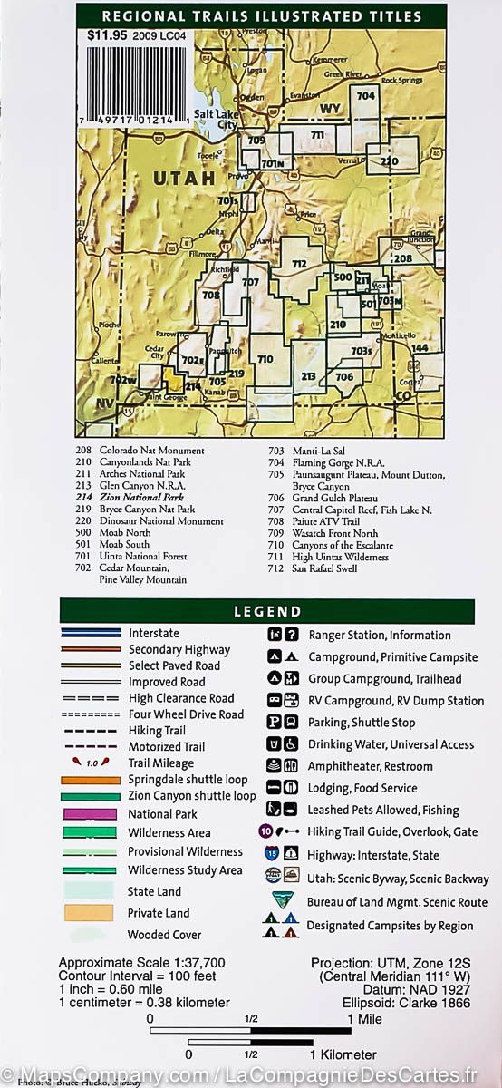
Miles of mapped trails include sections of the Great Western Trail, Arapeen off-highway vehicle trails and National Recreation Trails. Distance markers and use designations identify motorised, non-motorised, snowmobile, off-highway vehicle, all-terrain vehicle, motorcycle and Nordic skiing routes.
Contours, elevations, labelled peaks and summits, water features and clear public recreation land boundaries help with navigation. A complete road network includes numbered forest service roads. State and national scenic byways and their roadside facilities are marked for exploration by car.
Camping guides give each campsite's location, elevation, facilities and number of pitches. Other recreation features include trailheads, interpretive trails, campsites, boat ramps, climbing areas, fishing spots, waste disposal stations and marinas.
Other mapped features include Manti-La Sal National Forest, Mona Reservoir, Mount Nebo Wilderness, Payson, the San Pitch Mountains, South Tent Mountain, Spanish Fork Peak, Uinta National Forest, the Wasatch Plateau and Wasatch Range.
Waterproof and tear-resistant. Scale: 1:75,000.