Palisades, Californie | Tom Harrison Maps carte de randonnée Tom Harrison Maps

Palisades, California | Tom Harrison Maps

Price
Regular price CHF 1300
Regular price Sale price CHF 1300
/
  • Shipped within 24 to 48h from our warehouse in the USA
  • Customs duties may apply on import to your country
  • Free returns (*)
  • Real-time stock levels
  • Cartovia Guarantee – Delivery issue?
    We resend immediately upon receiving a simple photo.
  • In stock, ready to ship
  • Backordered, shipping soon
Tax included.

Frequently bought together:

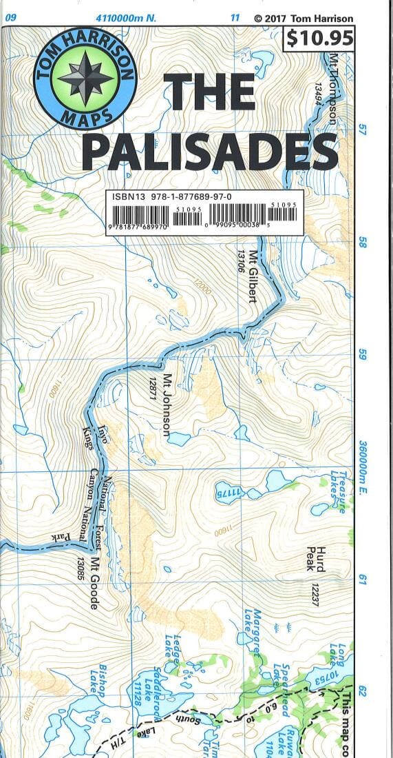
The Palisades trail map, California, covers the Big Creek area in the Eastern Sierra, along the boundary between Kings Canyon National Park and Inyo National Forest.

It includes the Palisades and Norman Clyde glaciers, Bishop and Mather passes, and the Big Pine Lakes.

Printed on waterproof, tear-resistant plastic.


ISBN/EAN : 9781877689970
Publication date: 2019
Folded dimensions: 8.27 inches x 4.72 inches (21 x 12 cm)
Unfolded dimensions: 23.62 inches x 17.32 inches (60 x 44 cm)
Language(s): English
Weight: 20 g