Hiking map no. 1010 - Pacific Crest Trail : Walker Pass to Vasquez Rocks (California) | National Geographic

Price
Regular price CHF 1600
Regular price Sale price CHF 1600
/
  • In stock in the USA and in the UK
    Shipped within 24 to 48h from the warehouse closest to you
  • Customs duties may apply on import to your country
  • Free returns (*)
  • Real-time stock levels
  • Cartovia Guarantee – Delivery issue?
    We resend immediately upon receiving a simple photo.
  • In stock, ready to ship
  • Backordered, shipping soon
Tax included.

Frequently bought together:

On this Pacific Crest Trail section from Walker Pass to Vasquez Rocks, the route leaves the southern end of the Sierra Nevada and enters the Tehachapi Mountains before crossing the Mojave Desert and San Andreas Fault.

Southern California's lower elevations offer good hiking conditions in winter, spring and autumn. Summers can be extremely hot, with few water sources.

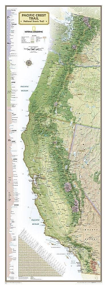
Across its full route, the PCT crosses six national parks, 25 national forests and 48 wilderness areas, including the volcanic Cascades, snowy Sierra Nevada, and Mojave and Sonoran Deserts.

Each topographic map guide provides detailed maps at approximately 1 inch = 1 mile, elevation profiles with distances between campsites and access points, and information on resupply, safety and GPS navigation. Its compact, waterproof and durable format is easier to use than folded maps.

Suitable for occasional walkers and thru-hikers alike.


ISBN/EAN : 9781566957922
Publication date: 2020
Language(s): English
Weight: 0 g