Oregon : carte de l'état | GM Johnson carte routière GM Johnson Default Title

Oregon state map | GM Johnson

Price
Regular price CHF 800
Regular price Sale price CHF 800
/
  • Shipped within 24 to 48h from our warehouse in the USA
  • Customs duties may apply on import to your country
  • Free returns (*)
  • Real-time stock levels
  • Cartovia Guarantee – Delivery issue?
    We resend immediately upon receiving a simple photo.
  • In stock, ready to ship
  • Backordered, shipping soon
Tax included.

Frequently bought together:

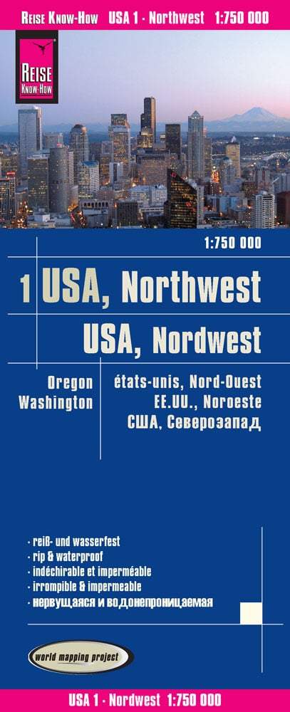
This folded tourist map of Oregon covers the whole state and border towns. The main map includes an index and a list of recreation areas.

The reverse provides a distance table and the following maps:

  • La Grande, Pendleton, Hood River and Klamath Falls.
  • Bend, northern Ontario, Astoria and McMinnville.
  • Coos Bay, Roseburg, Baker City, Medford and Grants Pass.
  • Ashland, Corvallis, The Dalles and Albany.
  • Salem and downtown Salem.
  • Downtown Eugene and Eugene/Springfield.
  • Portland and the surrounding area.


ISBN/EAN : 9781770686861
Publication date: 2018
Folded dimensions: 9.45 inches x 4.33 inches (24 x 10 cm)
Unfolded dimensions: 39.17 inches x 19.49 inches (99 x 49 cm)
Language(s): English
Weight: 1.5 oz