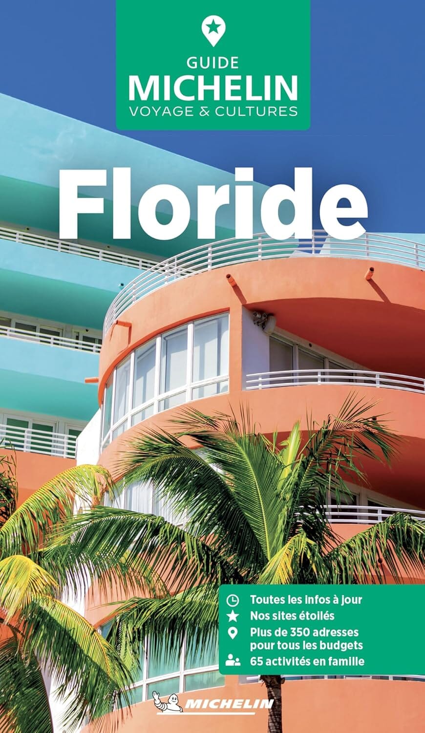
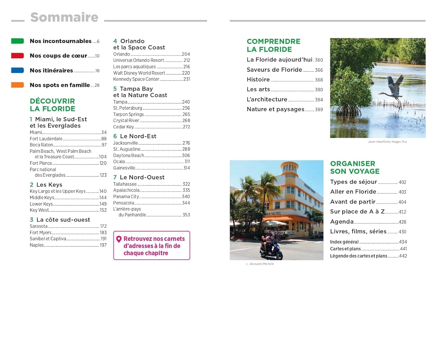
Rand McNally's folded map of Miami, Fort Lauderdale and West Palm Beach is a must-have for anyone travelling in and around this part of Florida, offering unbeatable accuracy and reliability at a great price.
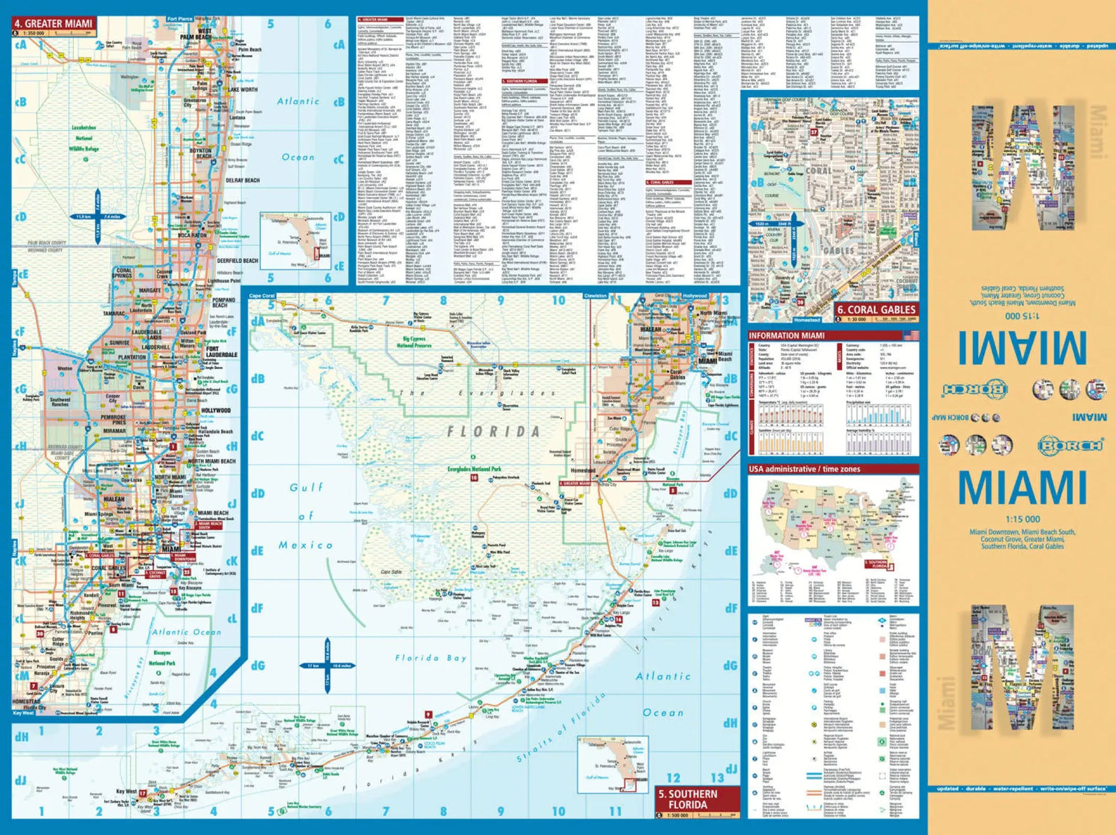
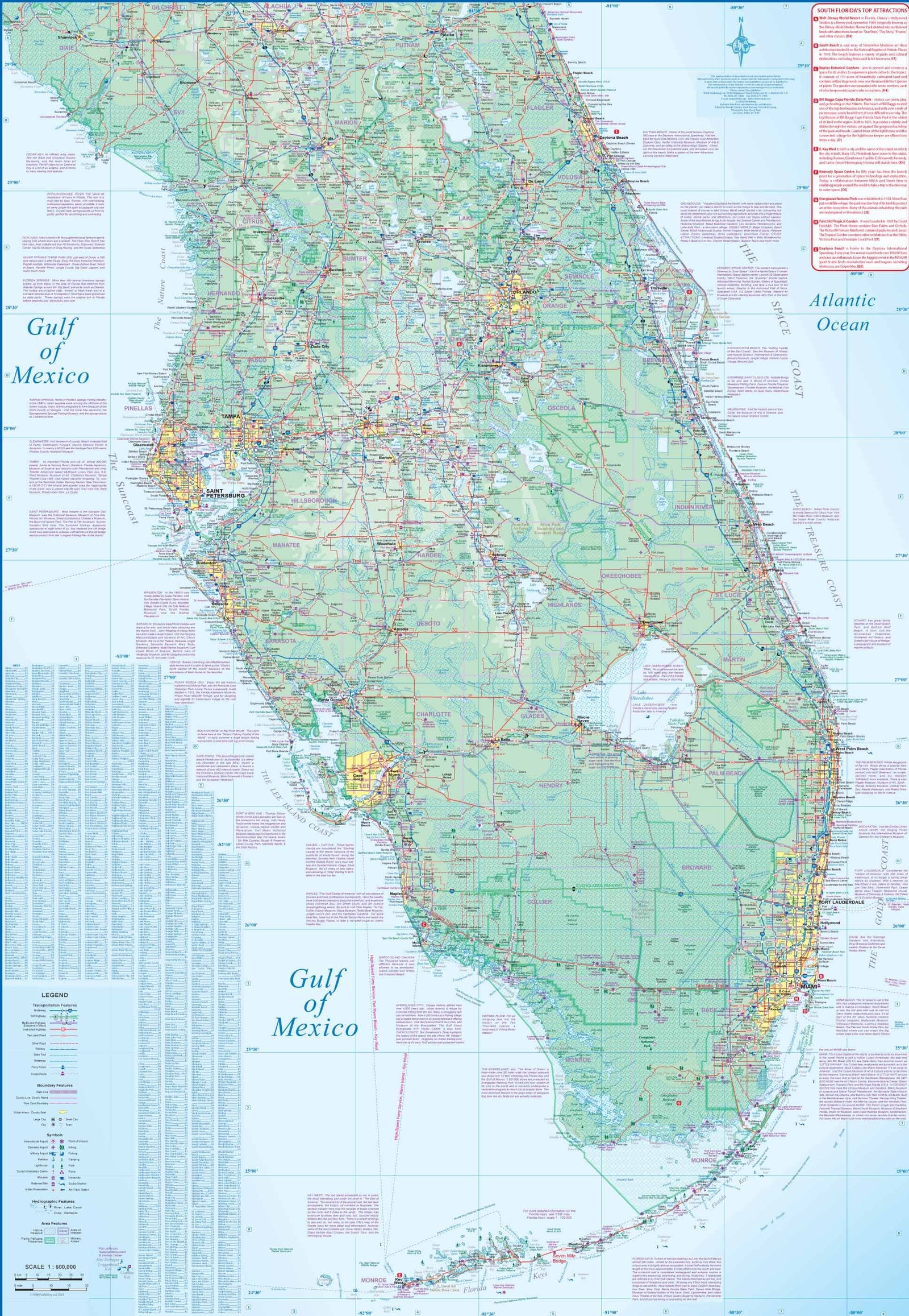
Our trusted mapping clearly shows all interstate, U.S., state and county highways, as well as parks, points of interest, airports, county boundaries and streets. The easy-to-use legend and detailed index make destinations quick and easy to locate. You will understand why Rand McNally folded maps have been the trusted standard for years. Regularly updated full-colour maps. Clearly labelled interstate, U.S., state and county highways.
Parks, points of interest, airports, county boundaries, schools, shopping centres, downtown and vicinity maps indicated. Easy-to-use legend. Detailed index and complete street index. Convenient folded size. Communities include: Delray Beach, Doral, Florida Keys, Hollywood, Homstead, Jupite Island, Miami Beach, Palmetto Bay, Plantation, Pompano B.