Hiking map - Lake District South-East XT25 | Harvey Maps - Superwalker maps

Price
Regular price CHF 22.00
Regular price Sale price CHF 22.00
/
  • Shipped within 24 to 48h from our warehouse in France
  • Customs duties may apply on import to your country
  • Free returns (*)
  • Real-time stock levels
  • Cartovia Guarantee – Delivery issue?
    We resend immediately upon receiving a simple photo.
  • Low stock - 2 items left
  • Backordered, shipping soon
Tax included.

Frequently bought together:

This map by Harvey Maps covers Lake District South-East.

Scale: 1:25,000.

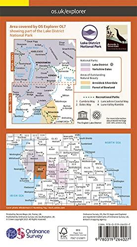
The map has Lake Windermere in the centre, and covers Ambleside, Kendal and Coniston. Includes the superb mountain biking area of Grizedale Forest.

Detailed map for hillwalkers of the south eastern area of the Lake District National Park at the popular 1:25,000 scale.

  • Tough, light, durable and 100% waterproof.
  • Opens directly to either side of the sheet.
  • Easy to refold.
  • Rights of way are shown.

The collection offers maps of regions in England, Wales and Scotland.


ISBN/EAN : 9781851375486
Publication date: 2015
Scale: 1/25,000 (1cm=250m)
Printed sides: both sides
Folded dimensions: 11.6 x 24.3cm
Unfolded dimensions: 48.6 x 140cm
Language(s): English
Weight: 70 g