Wall map (English) - Japan - 64 x 74 cm | National Geographic

Finishing
Price
Regular price CHF 2500
Regular price Sale price CHF 2500
/
  • In stock in France, in the USA and in the UK
    Shipped within 24 to 48h from the warehouse closest to you
  • Customs duties may apply on import to your country
  • Real-time inventory
  • Cartovia Guarantee – Delivery issue?
    We resend immediately upon receiving a simple photo.
  • In stock, ready to ship
  • Backordered, shipping soon
Tax included.

Often purchased together:

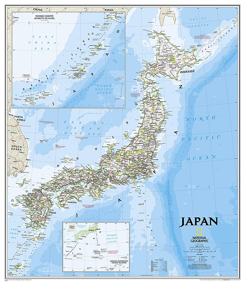
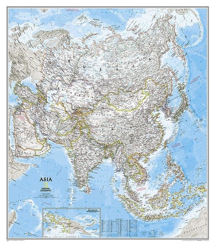
This political and physical wall map of Japan, published by National Geographic, is in English and measures 64 x 74 cm.

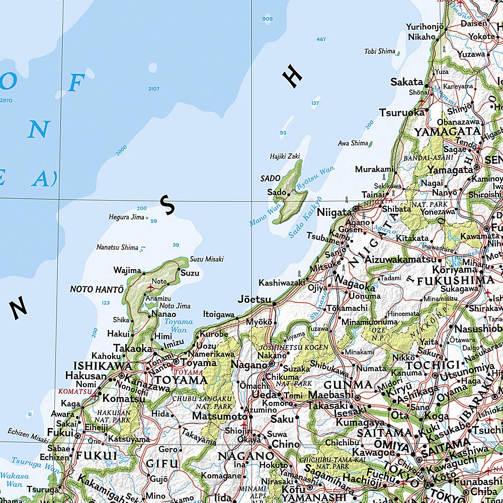
The cartography combines deep blue oceans, shaded relief and detailed topography. It shows thousands of place names, administrative boundaries, roads, motorways, railways, airports and national parks.

Sea depths are shown with bathymetric contours and soundings. Two insets show Japan's southern outlying islands and the Ryukyu Islands.

Another inset provides information about the 2011 Tōhoku earthquake and tsunami. The map is available in paper or laminated versions.


Publication date: 2016
Printed sides: front
Unfolded dimensions: 64 x 74cm
Language(s): English