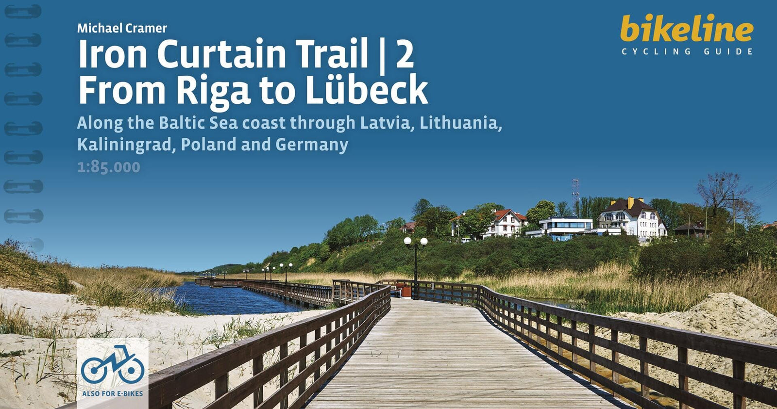
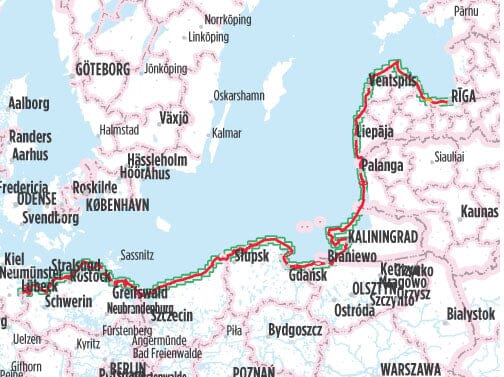
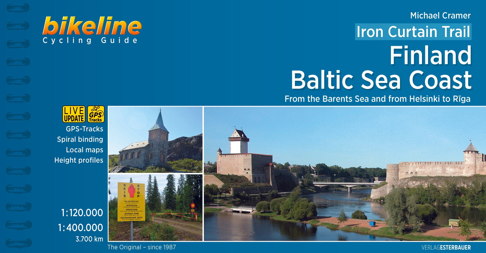
English-language cycling guide to the Iron Curtain Trail along the Baltic Sea, from Riga to Lübeck.
This spiral-bound guide brings together accurate maps, detailed route descriptions, a comprehensive accommodation directory, town and village plans, and information on the main sights for a holiday along the European Iron Curtain Trail.
The publisher states that the author has personally ridden, tested and assessed the route. Corrections from readers, local authorities and businesses are welcomed to keep the guide current, although they cannot always be verified before the publication deadline.
Maps and route navigation
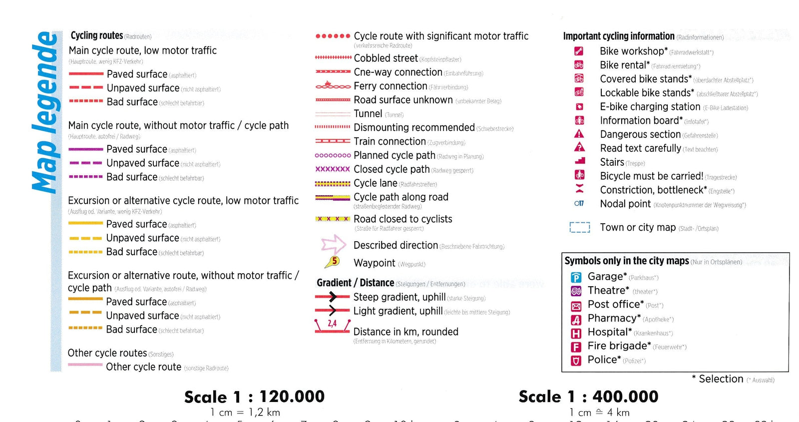
Maps at 1:85,000, equivalent to 1 cm for 850 m, show the route, paved or unpaved surfaces, gentle or steep gradients, distances, and cultural and culinary attractions.
The written directions may still be needed. Difficult-to-follow sections are marked on the maps with the symbol written as # ? in the source; the same marker points to detailed explanations in the text. The recommended main route is always shown in red or purple, with alternatives and excursions in orange. The symbol key appears on pages 4 and 5.
Elevation profiles
The introductory profile shows elevations, total distance and the position of the main towns. Each section also begins with a detailed profile showing smaller settlements and waypoints, providing direct references to the maps and descriptions.
Profiles show the main changes in elevation rather than every small rise and dip. On the detailed maps, smaller gradients are indicated by arrows pointing uphill.