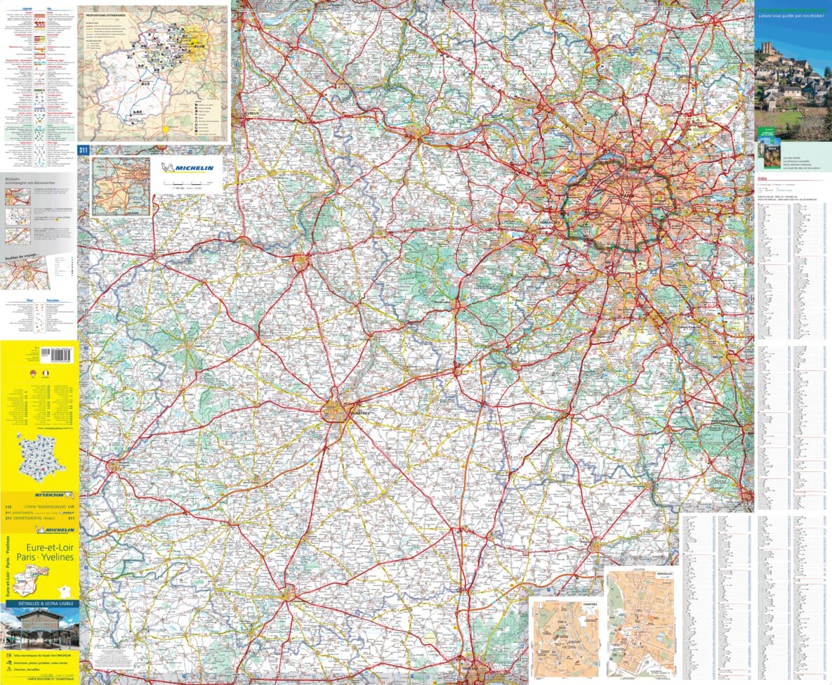
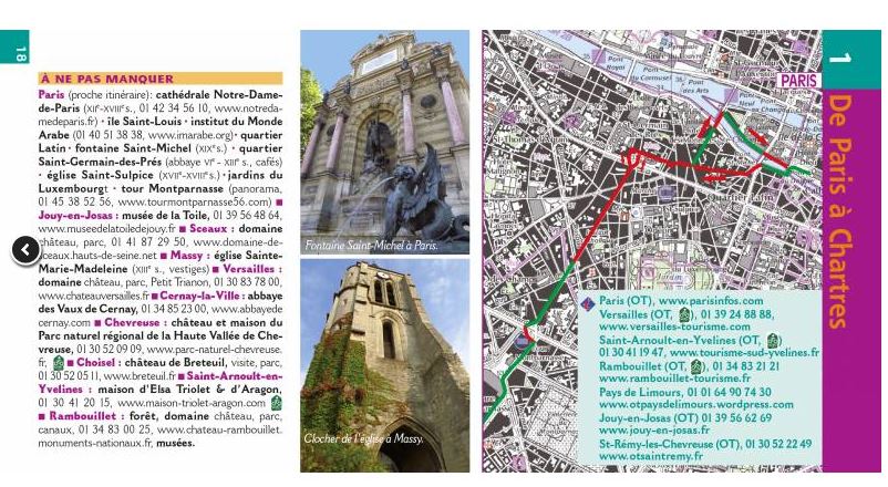
The IGN TOP 25 hiking map No. 2215 OT covers the following area: Rambouillet Forest, Haute Vallée de Chevreuse Regional Nature Park.
- Contour lines at 10-metre intervals.
- Detailed legend: vegetation, rocks, transport routes down to the smallest paths, buildings down to individual sheds, woodland, isolated trees, rivers, springs and more.
- Waymarked trails and tourist information are shown.
- Scale: 1:25,000 (1 cm = 250 m).
Municipalities covered: Rambouillet, La Verrière, Montigny-le-Bretonneux, Milon-la-Chapelle, Saint-Forget, Saint-Lambert, Boullay-les-Troux, Saint-Rémy-lès-Chevreuse, Voisins-le-Bretonneux, Magny-les-Hameaux, Trappes, Choisel, Châteaufort, Guyancourt, Les Molières, Chevreuse, Pecqueuse.
Places to discover: Haute-Vallée de Chevreuse, Etang de la Porte Boudet, Étangs de Hollande, Étang de St-Hubert, Rambouillet Forest, Rocher et Étang d'Angennes, Chevreuse Valley, la Bièvre Valley, Port Royal des Champs, Cimetière, Breteuil, Voisins Castle, la Madeleine, France Miniature, Neuville Castle, Notre-Dame du Chêne, Mauvières.