Tourist Map M13 - Foum Zguid, Tissint, Western Iriqui NP, Jbel Bani (Morocco) | Huber

Price
Regular price CHF 2500
Regular price Sale price CHF 2500
/
  • Shipped within 24 to 48h from our warehouse in France
  • Customs duties may apply on import to your country
  • Free returns (*)
  • Real-time stock levels
  • Cartovia Guarantee – Delivery issue?
    We resend immediately upon receiving a simple photo.
  • In stock, ready to ship
  • Backordered, shipping soon
Tax included.

Frequently bought together:

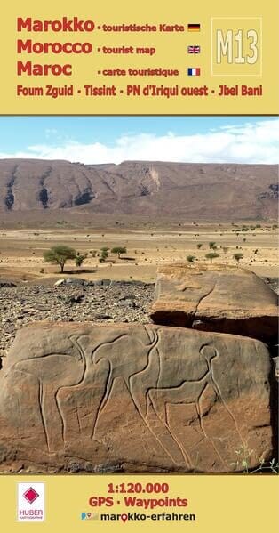
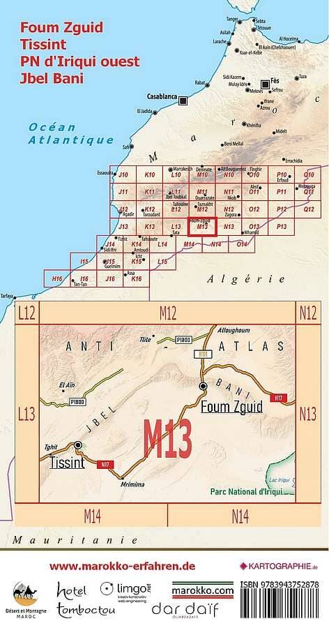
This M13 map and guide covers the area south of Jbel Bani and Erg Chegaga in Morocco at a scale of 1:120,000. It is multilingual: German, English and French.

Richly illustrated, it combines detailed mapping, photographs, historical texts and sketches for exploring a little-visited desert region south of the Jbel Bani massif.

  • Folded size: 10.5 × 20 cm; unfolded size: 84 × 59 cm;
  • 72 colour photographs and 7 black-and-white photographs;
  • 13 black-and-white sketches and plans.

The guide presents traces of pre-Islamic settlement, enigmatic stone monuments, rock engravings and fossils. It also mentions the Saharasteinschmätzer, a rare small bird.

Historical content includes the former house of Charles de Foucauld in Tissint and an article by Roger Mimó Lladós about the Zaouia of Mrimima, founded in the 18th century at a formerly important caravan crossroads.


ISBN/EAN : 9783943752878
Publication date: 2025
Scale: 1/120,000 (1 cm = 1.2 km)
Printed sides: both sides
Folded dimensions: 10.5 x 20 cm
Unfolded dimensions: 84 x 59cm
Language(s): French, English, German
Weight: 60 g