Tourist Map M12 - Taznakht, Anzal, Ait Saoun, Alloughoum, East Jbel Sirwa (Morocco) | Huber

Price
Regular price CHF 2500
Regular price Sale price CHF 2500
/
  • Shipped within 24 to 48h from our warehouse in France
  • Customs duties may apply on import to your country
  • Free returns (*)
  • Real-time stock levels
  • Cartovia Guarantee – Delivery issue?
    We resend immediately upon receiving a simple photo.
  • In stock, ready to ship
  • Backordered, shipping soon
Tax included.

Frequently bought together:

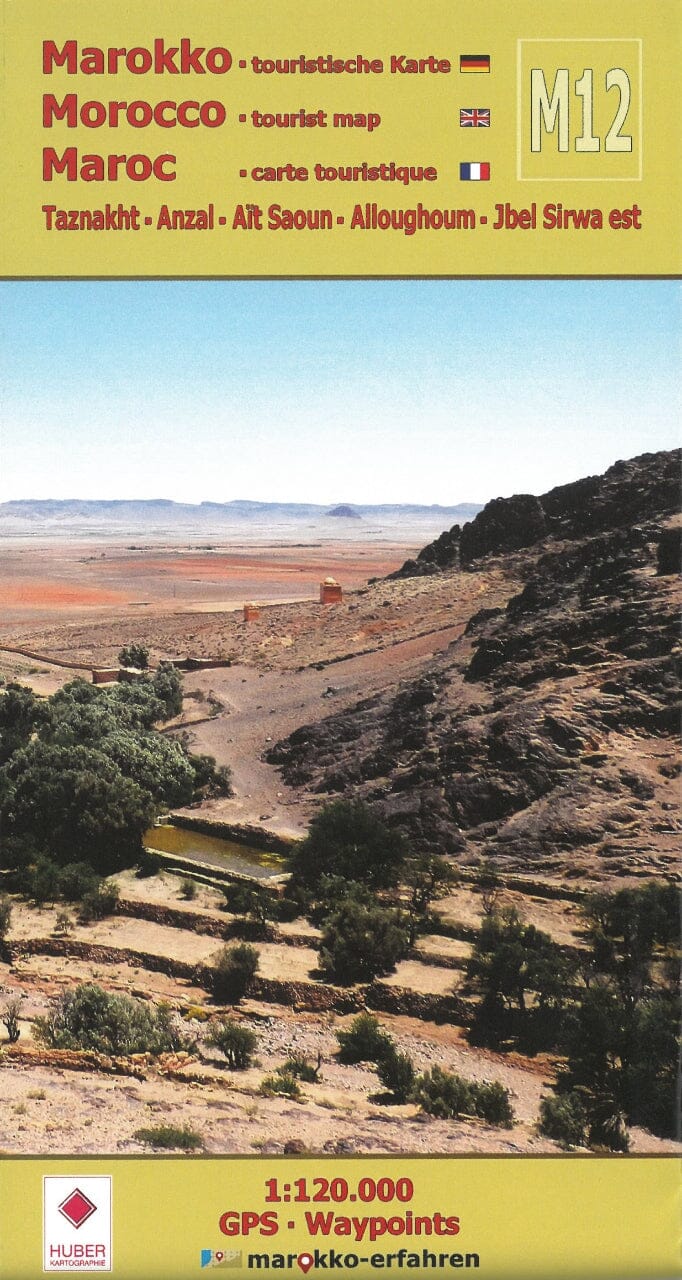
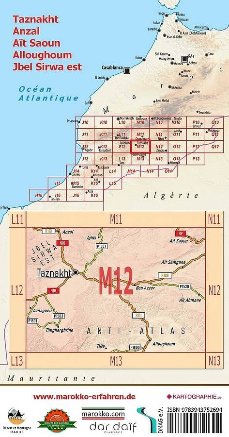
The M12 tourist map focuses on the Taznakht region of Morocco, between Jbel Sirwa and the eastern foothills of the Anti-Atlas. It highlights many attractions with photos and coordinates.

Entitled “Minerals, Carpets and Mysterious Ruined Villages Around Taznakht,” this detailed trilingual German / English / French map and travel guide shows more than 200 destinations. Of these, 77 are described in greater detail on the guide side, and coordinates are provided for 60 sites along with historical information and other details.

The region offers hikes through almost uninhabited areas, with striking scenery and encounters with the local population.

Sights and information shown include:

  • Mining: minerals in the traditional mining area along the RR108 and RP1520 around Bou Azzer;
  • Caves: abandoned troglodyte dwellings in the limestone rocks of the Zenaga plain, near the RN10;
  • Enigmatic settlement structures east of the RR111 on the road to Foum Zguid;
  • A Jewish cemetery near Taznakht;
  • The partly restored fortified village of Alloghoum, with a large tighremt;
  • Tasla, a former caravan station on the RR108, with a small museum;
  • Granaries throughout the region.


ISBN/EAN : 9783943752694
Publication date: 2025
Scale: 1/120,000 (1cm=1.2km)
Printed sides: both sides
Folded dimensions: 10.5 x 20 cm
Unfolded dimensions: 84 x 59cm
Language(s): English, French, German
Weight: 60 g