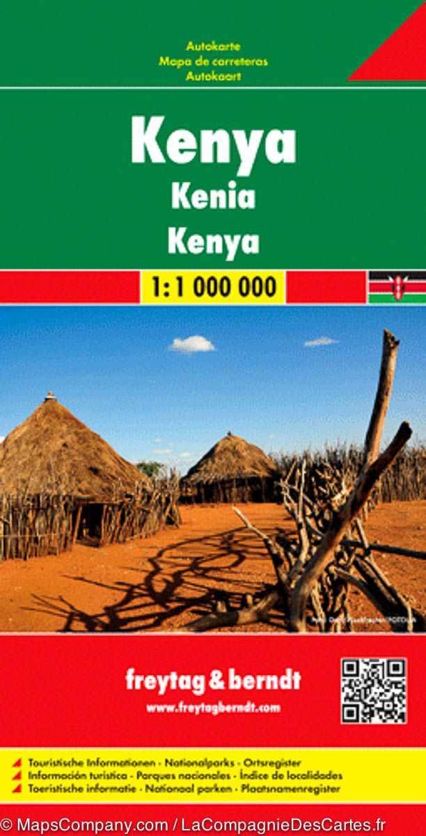
Road map - Kenya - LAMINATED WALL-MAP VERSION | Freytag & Berndt

Price
Regular price CHF 6000
Regular price Sale price CHF 6000
/
  • Made-to-order product – Ships within 7 to 10 business days from our workshop to mainland France, Belgium, Germany, Luxembourg and the Netherlands. Other countries: please contact us for a shipping quote.
  • Shipping method and fees are shown at checkout
Tax included.

Often purchased together:

This laminated wall-map version of the Kenya road map published by Freytag & Berndt is made from the original folded map.

At a scale of 1:1,000,000, it covers the whole of Kenya. The southeastern coast around Mombasa and Malindi is shown in an inset, together with the eastern and western parts of Tsavo National Park and the Tanzanian border region including Kilimanjaro.

The map shows terrain, highlights points of interest, gives distances and includes a city index and a multilingual legend, including French, English, German, Italian and Spanish.

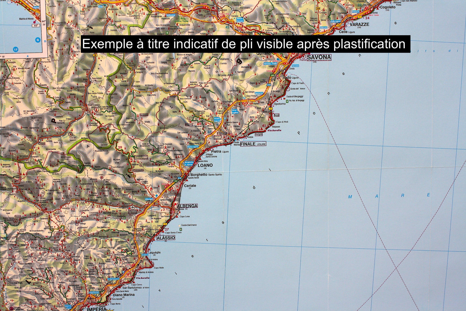
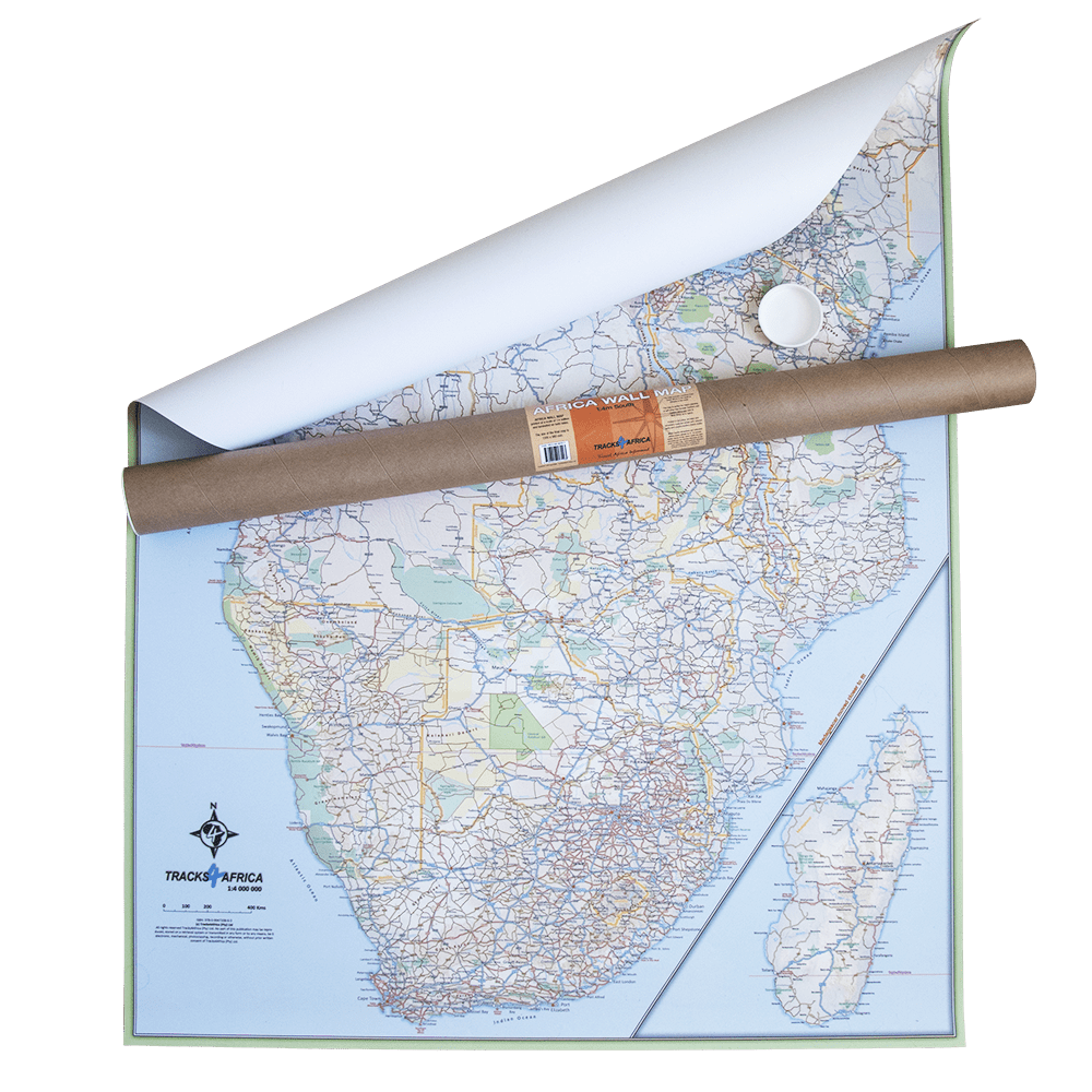
Lamination is carried out to order from the folded map, so the fold lines may remain slightly visible. The map is supplied rolled in a cardboard tube.


ISBN/EAN : 9783707914108P
Publication date: 2012
Scale: 1/1,000,000 (1 cm = 10 km)
Printed sides: front
Unfolded dimensions: 125 x 95cm
Language(s): multilingual including French
Weight: 300 g