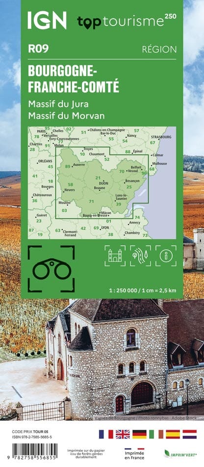
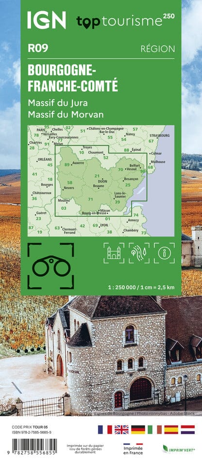
Regional map no. 9: Burgundy & Franche-Comté - LAMINATED WALL-MAP VERSION | IGN

Price
Regular price CHF 7200
Regular price Sale price CHF 7200
/
  • Made-to-order product – Ships within 7 to 10 business days from our workshop to mainland France, Belgium, Germany, Luxembourg and the Netherlands. Other countries: please contact us for a shipping quote.
  • Shipping method and fees are shown at checkout

Tax included.

Often purchased together:

This laminated wall-map version of IGN regional map no. 9 – Burgundy and Franche-Comté is made from the original folded map.

At a scale of 1:250,000 (1 cm = 2.5 km), it measures approximately 143 x 100 cm. Distances are shown, and the map includes tourist information, a city index, relief representation and Grande Randonnée (GR) long-distance hiking trails.

Lamination is carried out to order, so fold lines may remain slightly visible. The map is supplied rolled in a cardboard tube, and an additional production time of approximately ten days is required.

This product is made to order and cannot be returned.


ISBN/EAN : 9782758556855P
Publication date: 2025
Scale: 1/250,000 (1cm=2.5km)
Printed sides: front
Unfolded dimensions: 143 x 100cm
Language(s): French, English, German
Weight: 300 g