3D Raised relief map - Mont Blanc and Region (41 cm x 61 cm) | 3D Map (French)
- Real-time inventory
-
Cartovia Guarantee – Delivery issue?
We resend immediately upon receiving a simple photo.
📦 Hard-to-find maps - worldwide shipping
📦 Hard-to-find maps & travel guides - worldwide shipping, 30-day returns
🌞 Summer travel: 20,000+ maps in stock
🌞 Plan your summer: 20,000+ maps and travel guides in stock Details →
✅ Latest editions guaranteed — since 2010
✅ Latest editions guaranteed - 180,000+ travellers equipped since 2010
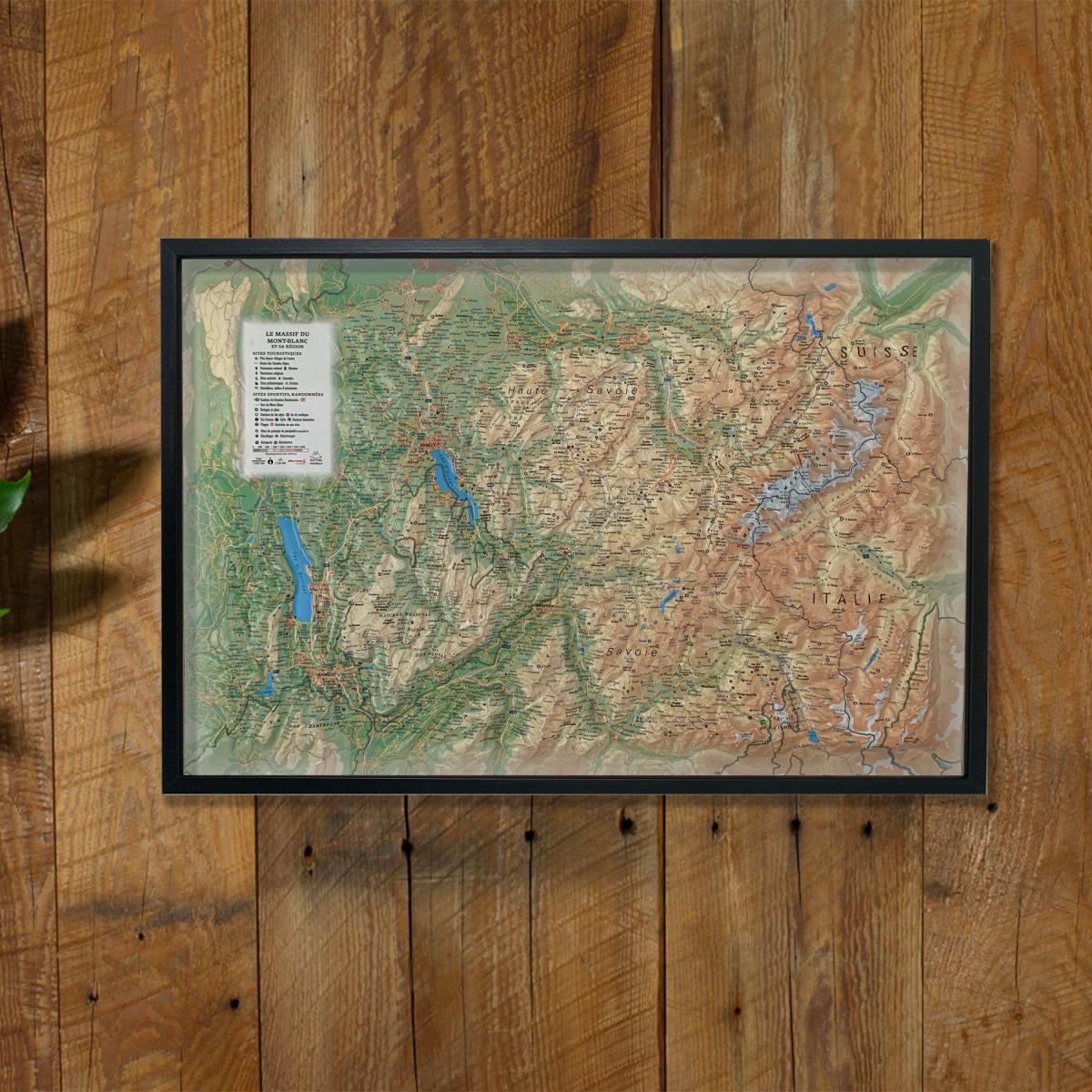
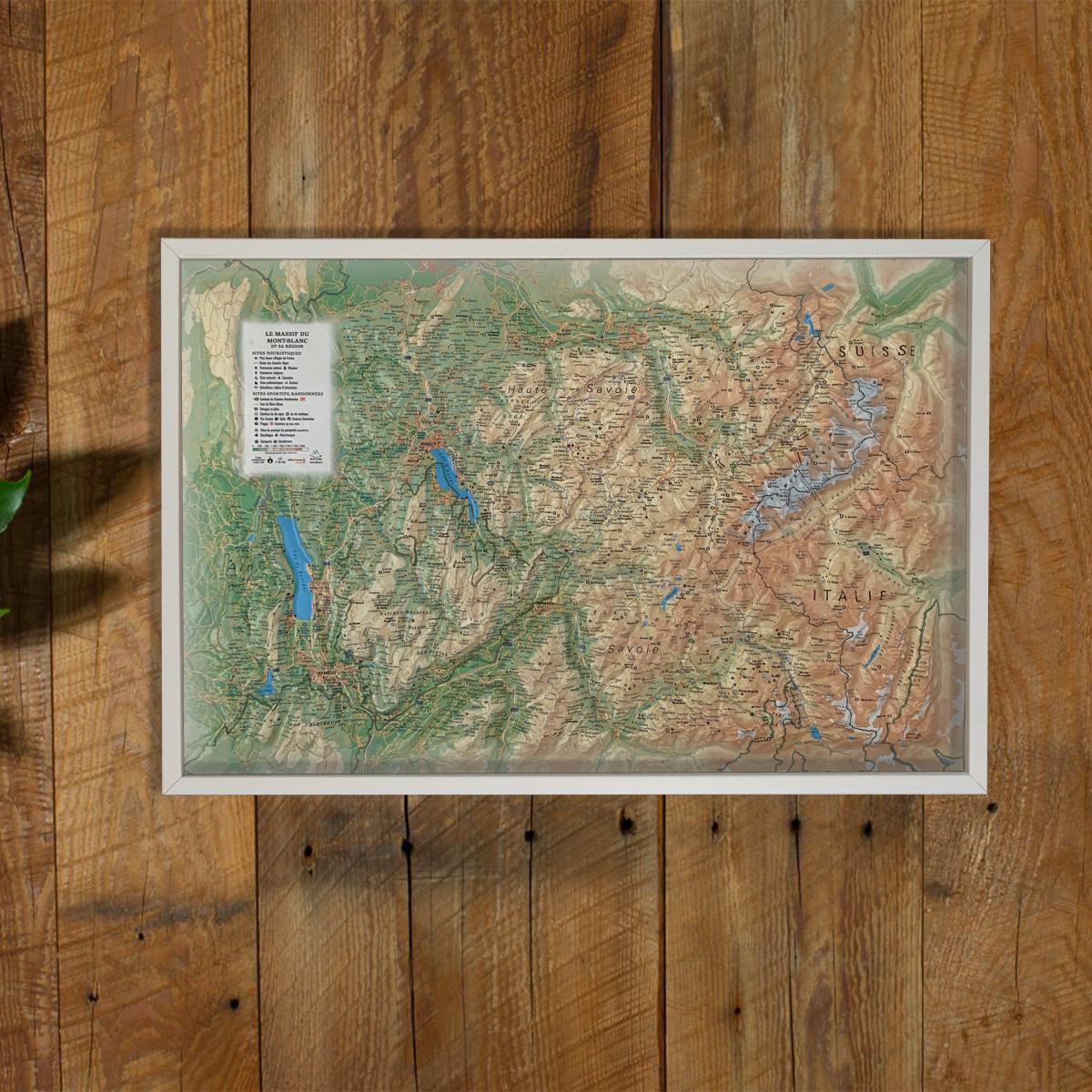
Discover the iconic Alpine landscape with this raised relief wall map of Mont Blanc and its surrounding region, showcasing glaciers, sharp peaks, deep valleys and remarkable natural sites. Its precise 3D modeling offers an intuitive understanding of the terrain and makes it an impressive decorative and educational piece.
A finishing frame is available as an optional accessory; we strongly recommend it for easier hanging and a premium presentation.
Hydrological, natural, hypsometric and administrative information
Most Beautiful Villages of France
Cultural and religious heritage
Museums
Natural sites
Waterfalls
Prehistoric sites
Caves
Viewpoints and orientation tables
Long-distance hiking trails
Mountain huts and guesthouses
Alpine and Nordic ski resorts
Via ferrata routes
Golf courses
Thermal spas
Lakeside and riverside beaches
White-water activity zones
Paragliding sites (www.ffvl.fr)
Take-off and landing areas
Airports and aerodromes
Planimetric scale: 1:200,000
Altimetric scale: 1:150,000
Size: 61 × 41 cm
A perfect map for mountain lovers, hikers, skiers and travellers, or for enhancing a living or working space with a stunning depiction of the Mont Blanc massif.
ISBN / EAN : 9791097206161
Date de publication : 2019
Echelle : 1/200,000 (1cm=2km)
Dimensions déplié(e) : 61cm x 41cm
Langue : French
Poids :
136 g
Impression de la carte décalée par rapport au relief de plusieurs millimètre.
The exclusive newsletter for travel and discovery enthusiasts!