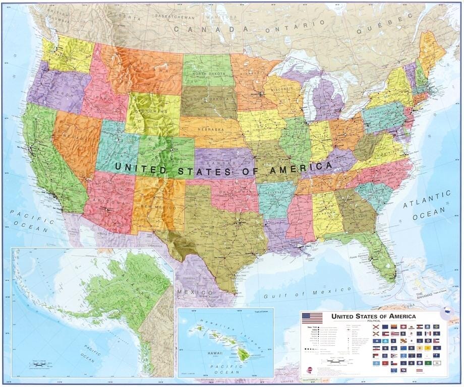
Laminated Wall Map (English) - Political USA - 1:4M (140 x 100 cm) | GeoMetro

Price
Regular price CHF 2400
Regular price Sale price CHF 2400
/
  • Shipped within 24 to 48h from our warehouse in France
  • Customs duties may apply on import to your country
  • Real-time inventory
  • Cartovia Guarantee – Delivery issue?
    We resend immediately upon receiving a simple photo.
  • Low stock - 3 items left
  • Backordered, shipping soon
Tax included.

Often purchased together:

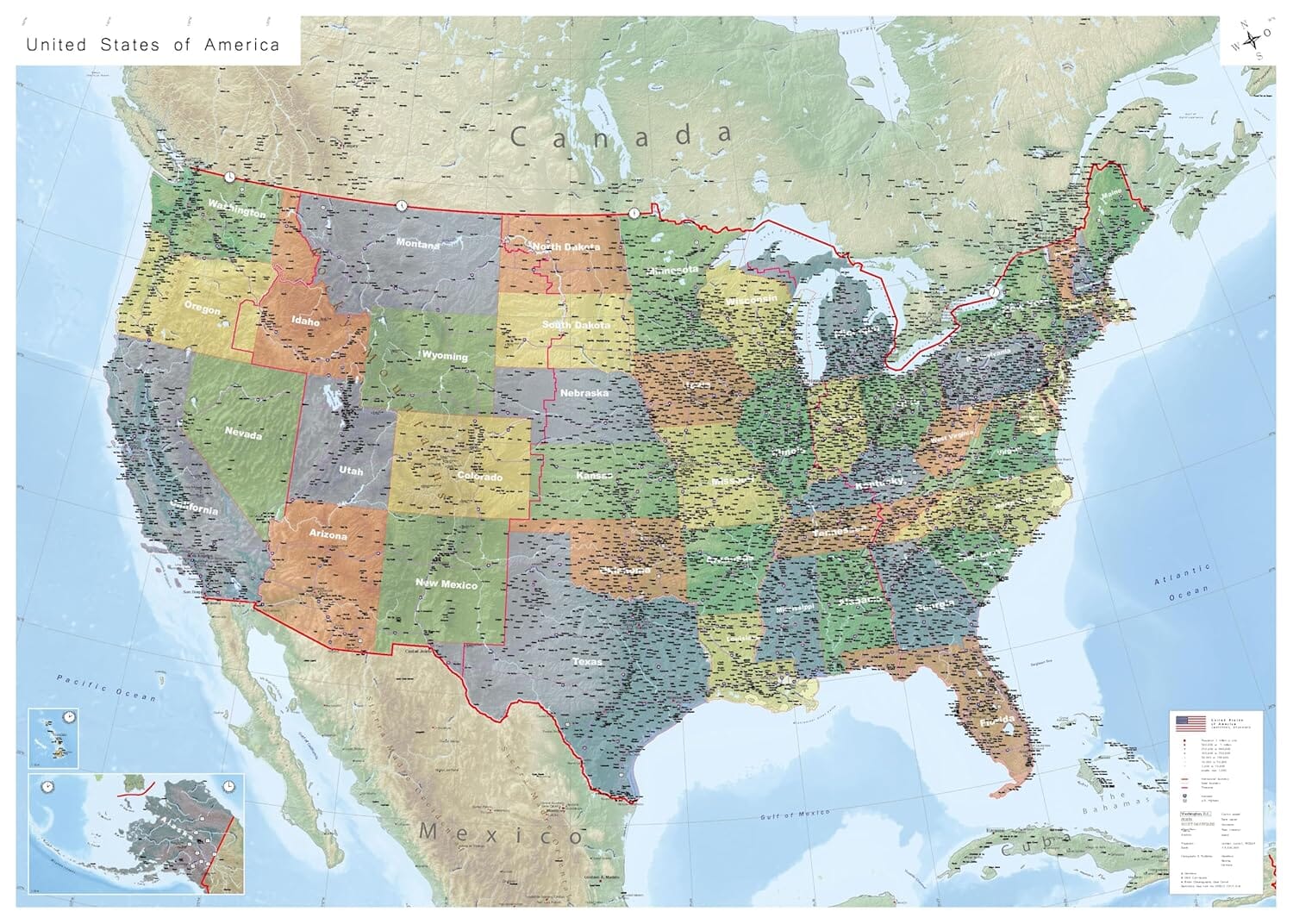
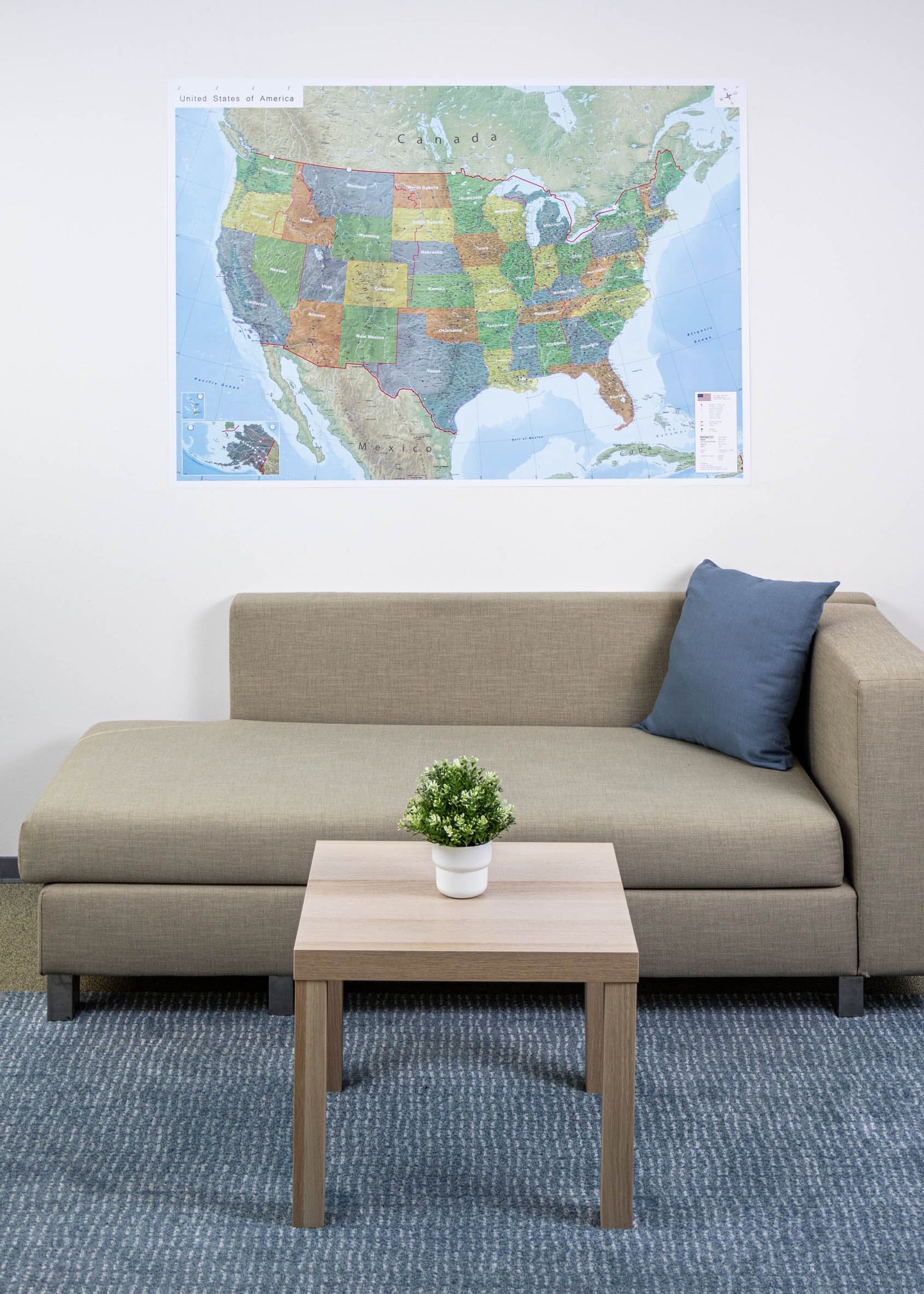
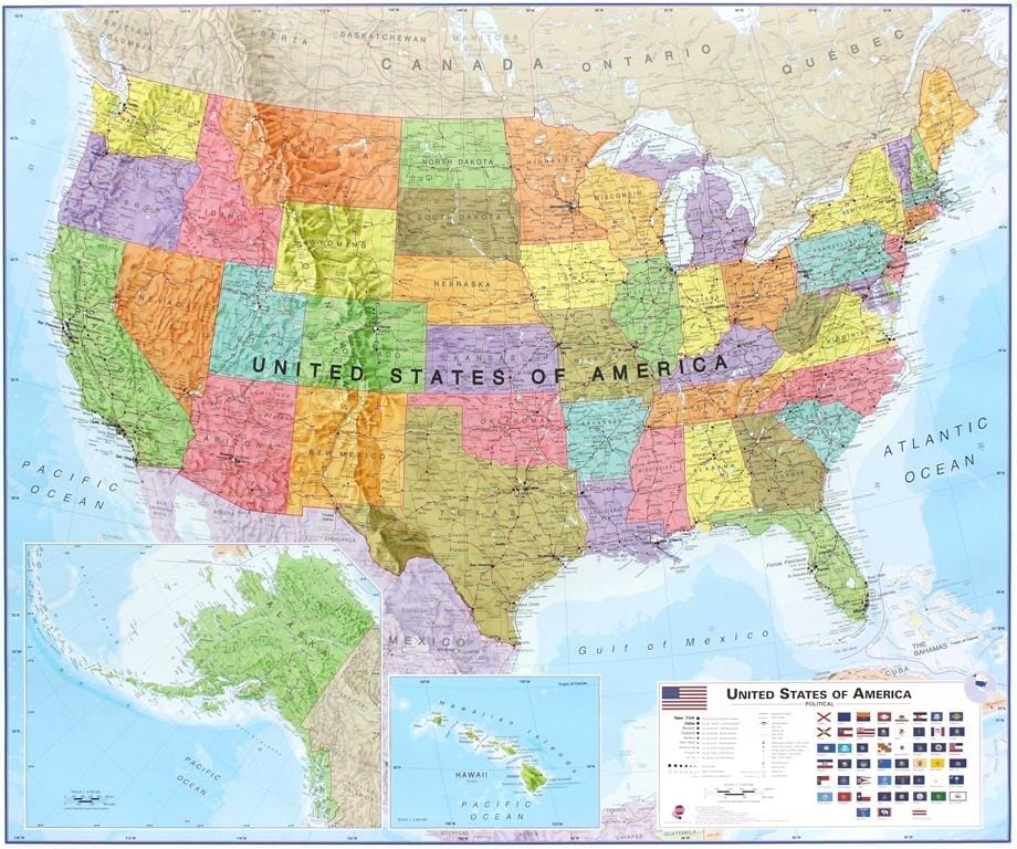
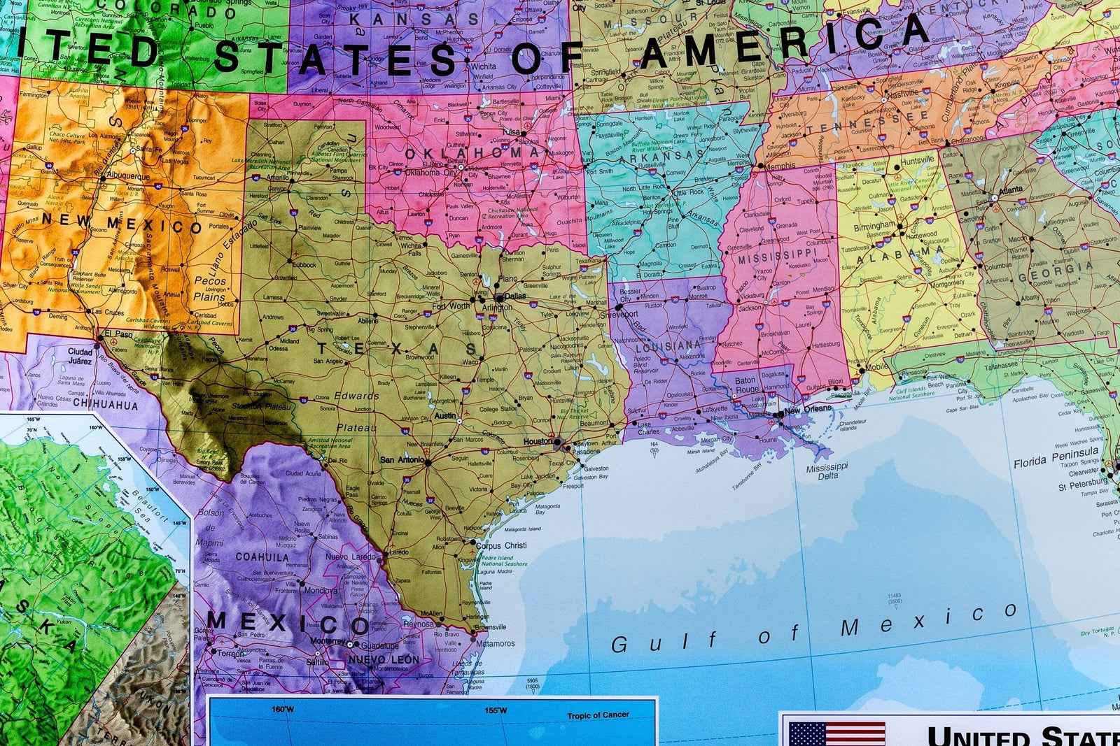
This laminated wall map of the United States in English shows the country’s political divisions and all 50 states. At a scale of 1:4,000,000, it includes thousands of place names, cities classified by population, Interstates, the six time zones and major bodies of water.

The map also shows longitude and latitude, relief and ocean bathymetry. Full lamination makes it writable, wipe-clean and tear-resistant.

  • Dimensions: 140 x 100 cm
  • Scale: 1:4,000,000
  • Language: English
  • Political status: 2024
  • Packaging: rolled in a sturdy cardboard tube


ISBN/EAN : 09783947298280
Publication date: 2024
Scale: 1/4,000,000 (1cm=40km)
Printed sides: front
Unfolded dimensions: 140 x 100cm
Language(s): English
Weight: 400 g