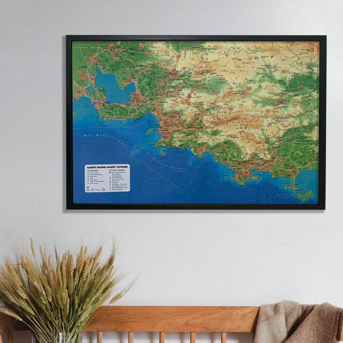
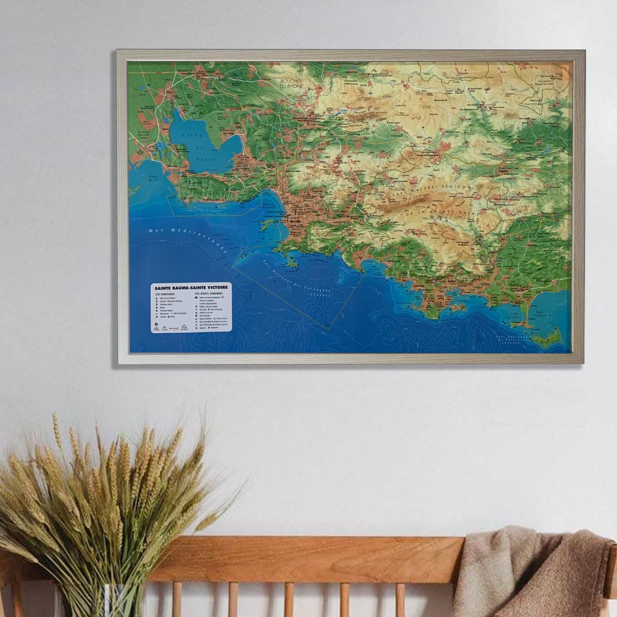
A great natural and artistic symbol of Provence, Montagne Sainte-Victoire rises above the Aix region. Located on the western side of the massif, the Garagaï and especially the Prieuré de Sainte-Victoire (with the Croix de Provence) reach an altitude of around 1,011 metres.
This map highlights a landscape mosaic of garrigue, discreet valleys, and rocky ridges, emphasizing the abrupt transition between the agricultural plains and the escarpments.
This 3D map extends from west to east from the eastern part of Aix-en-Provence to Artigues, and from north to south from Peyrolles-en-Provence to Châteauneuf-le-Rouge.
Plan your next outings!
For lovers of outdoor activities, hiking, climbing, mountain biking, or simply nature and cultural heritage, rediscover your favourite spots or find new places to explore. Set out to discover breathtaking viewpoints! Prepare your trips by assessing the level of difficulty thanks to the contour lines and elevations, and by locating rivers, valleys, and hamlets.
Share your passion for your region!
With this map, you can show your friends and family the hidden gems you love: that hike, that panoramic viewpoint, or that secluded trail. It is the ideal tool for planning adventures and sharing, in three dimensions, the emotion of “your” region.
Main Peaks
Montagne Sainte-Victoire | Baou de l’Aigle | Colline des Chapeliers | Pic des Mouches | Concors | Le Grand Sambuc
Main Towns and Villages
Le Puy-Sainte-Réparade | Aix-en-Provence | Trets | Le Tholonet | Gardanne | Pourcieux | Pourrières | Rousset | Rians | Meyreuil | Jouques | Saint-Marc-Jaumegarde | Peyrolles-en-Provence | Vauvenargues | Meyrargues | Châteauneuf-le-Rouge | Venelles | Puyloubier | Les Hermentaires | Couteron | Les Piques | Saint-Donat | Le Défends | Berthoire | Claps | Panperdu | Val Saint-Georges | Bèdes | Les Artauds | La Gavotte | Le Canet | Le Bouquet | Le Cannet | Ollières | Saint-Antonin-sur-Bayon | Beaurecueil | Artigues | Palette | La Barque
Specifications
Sold unframed.
This map can be mounted in a standard 70 cm x 50 cm frame (frame rebate < 5 mm).
- Orientation: Landscape
- Planimetric scale: 1:50,000
- Altimetric scale: 1.8:50,000
- Dimensions: 70 cm x 50 cm
- Relief height: 3.2 cm
- Material: thermoformed PVC