Detailed map - Zanzibar | Harms Verlag

Price
Regular price CHF 1000
Regular price Sale price CHF 1000
/
  • In stock in France and in the UK
    Shipped within 24 to 48h from the warehouse closest to you
  • Customs duties may apply on import to your country
  • Free returns (*)
  • Real-time stock levels
  • Cartovia Guarantee – Delivery issue?
    We resend immediately upon receiving a simple photo.
  • In stock, ready to ship
  • Backordered, shipping soon
Tax included.

Frequently bought together:

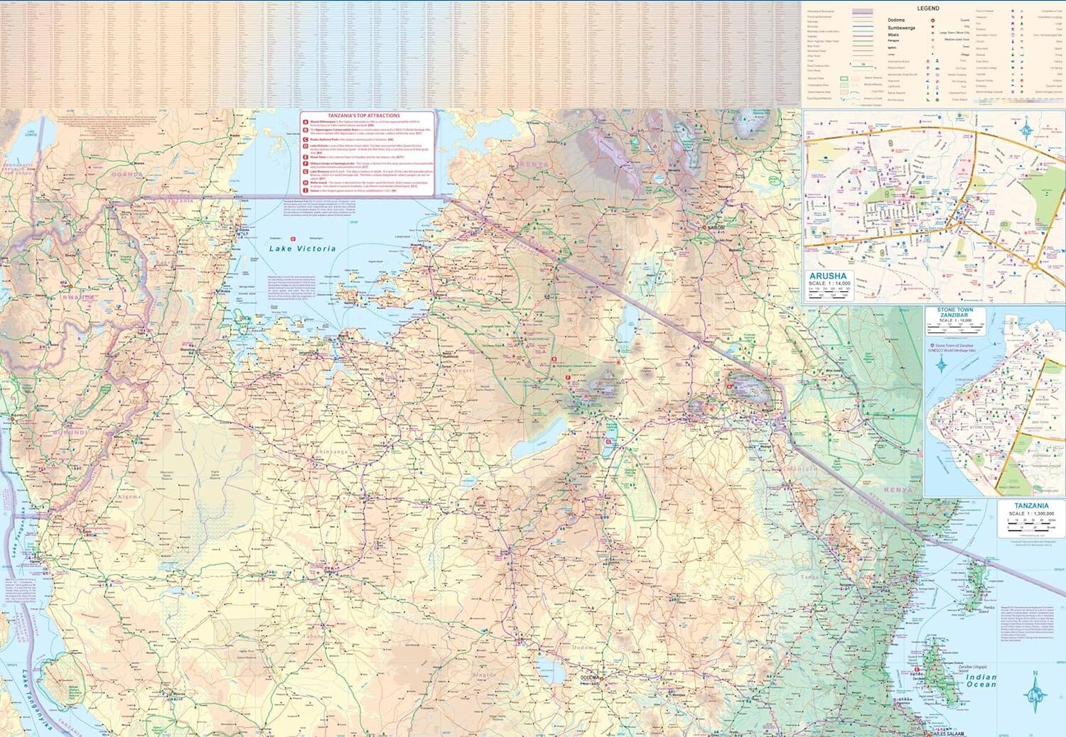
This detailed road map of the Zanzibar archipelago, published by Harms Verlag, shows relief, national parks and reserves. Distances appear on main roads.

  • Map of Pemba Island at 1:250,000.
  • Map of Stone Town, the capital's historic centre, at 1:10,000.
  • Overview map of the region.
  • Symbols for attractions, hotels and seaside resorts.

Roads, "slopes" and features of tourist interest have been recorded by GPS. The map was produced in collaboration with the Tanzanian authorities and the Institute of Marine Sciences at the University of Dar es Salaam.

On the reverse, tourist information in German, English and Italian covers geography, climate, history and places to visit, among other topics. Colour photographs inspire exploration. The legend is in English, German, Italian and Kiswahili.


ISBN/EAN : 9783927468306
Publication date: 2018
Scale: 1/100,000 (1cm=1km)
Printed sides: both sides
Folded dimensions: 11 x 22.5cm
Unfolded dimensions: 60.5 x 90cm
Language(s): German English
Weight: 123 g