Carte des loisirs de l'ouest de la Caroline du Nord | GM Johnson carte routière GM Johnson Default Title

Western North Carolina recreation map | GM Johnson

Price
Regular price CHF 1000
Regular price Sale price CHF 1000
/
  • Shipped within 24 to 48h from our warehouse in the USA
  • Customs duties may apply on import to your country
  • Free returns (*)
  • Real-time stock levels
  • Cartovia Guarantee – Delivery issue?
    We resend immediately upon receiving a simple photo.
  • In stock, ready to ship
  • Backordered, shipping soon
Tax included.

Frequently bought together:

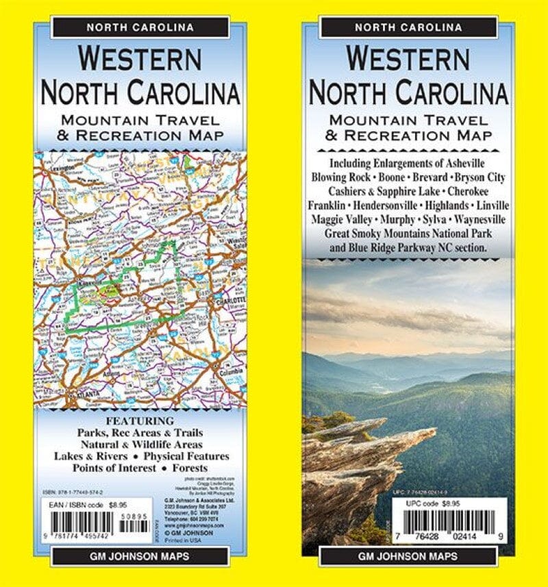
The Western North Carolina recreation map shows parks, recreation areas and trails, natural and wilderness areas, lakes and rivers, physical features, points of interest and forests.

It includes enlargements of Asheville, Blowing Rock, Boone, Brevard, Bryson City, Cashiers and Sapphire Lake, Cherokee, Franklin, Hendersonville, Highlands, Linville, Maggie Valley, Murphy, Sylva and Waynesville, as well as Great Smoky Mountains National Park and the North Carolina section of the Blue Ridge Parkway.

Photo credit: shutterstock.com. Rugged Linville Gorge, Hawksbill Mountain, North Carolina. Photograph: Jordan Hill Photography.


ISBN/EAN : 9781774495742
Publication date: 2024
Folded dimensions: 9 x 4"
Language(s): English
Weight: 43 g