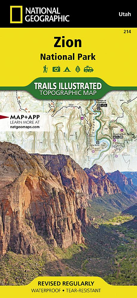
This hiking map no. 715 maps St. George, Pine Valley Mountain (Utah, Nevada).
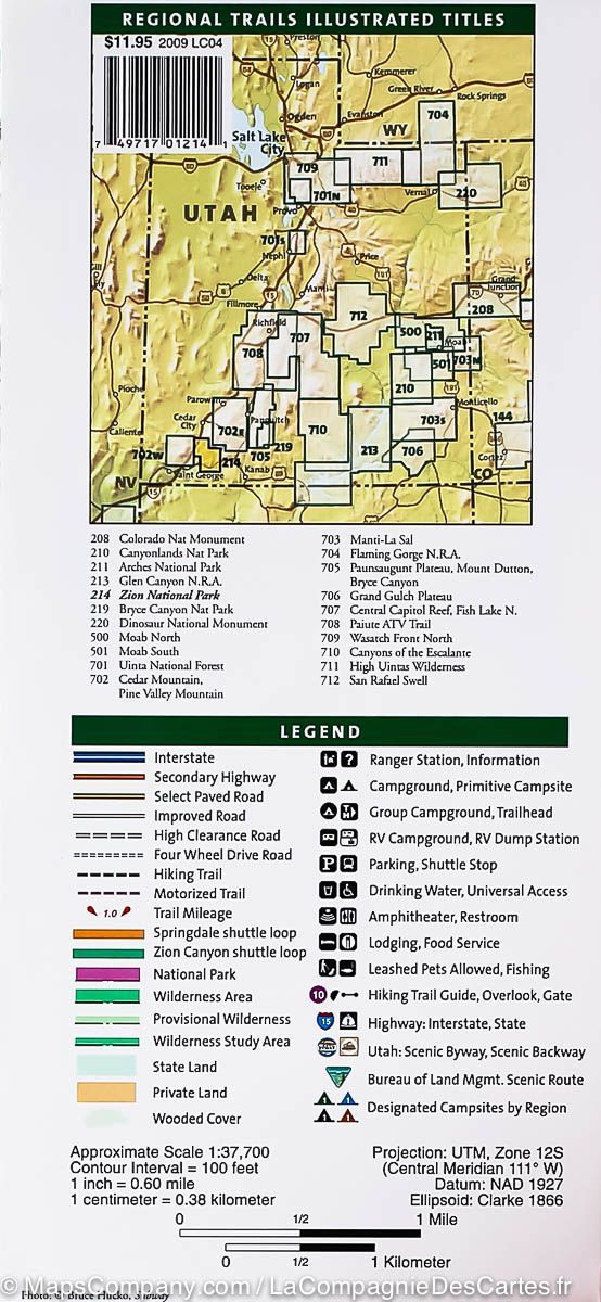
Topographic map published by National Geographic, showing contours, hiking trails, accommodation (campsites) and ranger stations. Waterproof and tear-resistant.
This map covers the Pine Valley Ranger District of Dixie National Forest, a high-elevation mountain sanctuary from the hot, southern Utah desert that surrounds it. Coverage extends from the Kolob Canyons area of Zion National Park in the northeast to Saint George, Utah to the south, and the Nevada state line to the west. Key features are the Pine Valley Recreation Area, ideal for hiking, horseback riding, and mountain biking, and the Pine Valley Wilderness Area, lush with meadows and wildlife.
Closer to St. George are the Red Cliffs Desert Reserve, a protected habitat for the threatened desert tortoise; the ruddy limestone Hurricane Cliffs; Gooseberry Mesa National Recreation Trail; the Sand Mountain OHV Area; the Baker Dam Recreation Area offering camping, reservoir fishing, boating, and birding; and the Santa Clara River Reserve, protected lands containing prehistoric sites and trails for hikers, equestrians, and mountain bikers.
State parks featured include Snow Canyon, with an other-worldly terrain of red rocks and ancient lava flows; and Gunlock, Quail Creek, and Sand Hollow, all attractive destinations for boating, fishing and swimming. The entire area offers a myriad of outdoor recreation activities and is a popular draw for OHV, mountain bikers, campers, hikers, and horseback riders.
Every Trails Illustrated map is printed on a waterproof, tear-resistant paper. A full UTM grid is printed on the map to aid with GPS navigation.
Other features found on this map include: Antelope Range, Beaver Dam Mountains, Bull Valley Mountains, Harmony Mountains, Lost Peak, Pine Valley Mountains, Quichapa Lake, Santa Clara River, Signal Peak, St George.