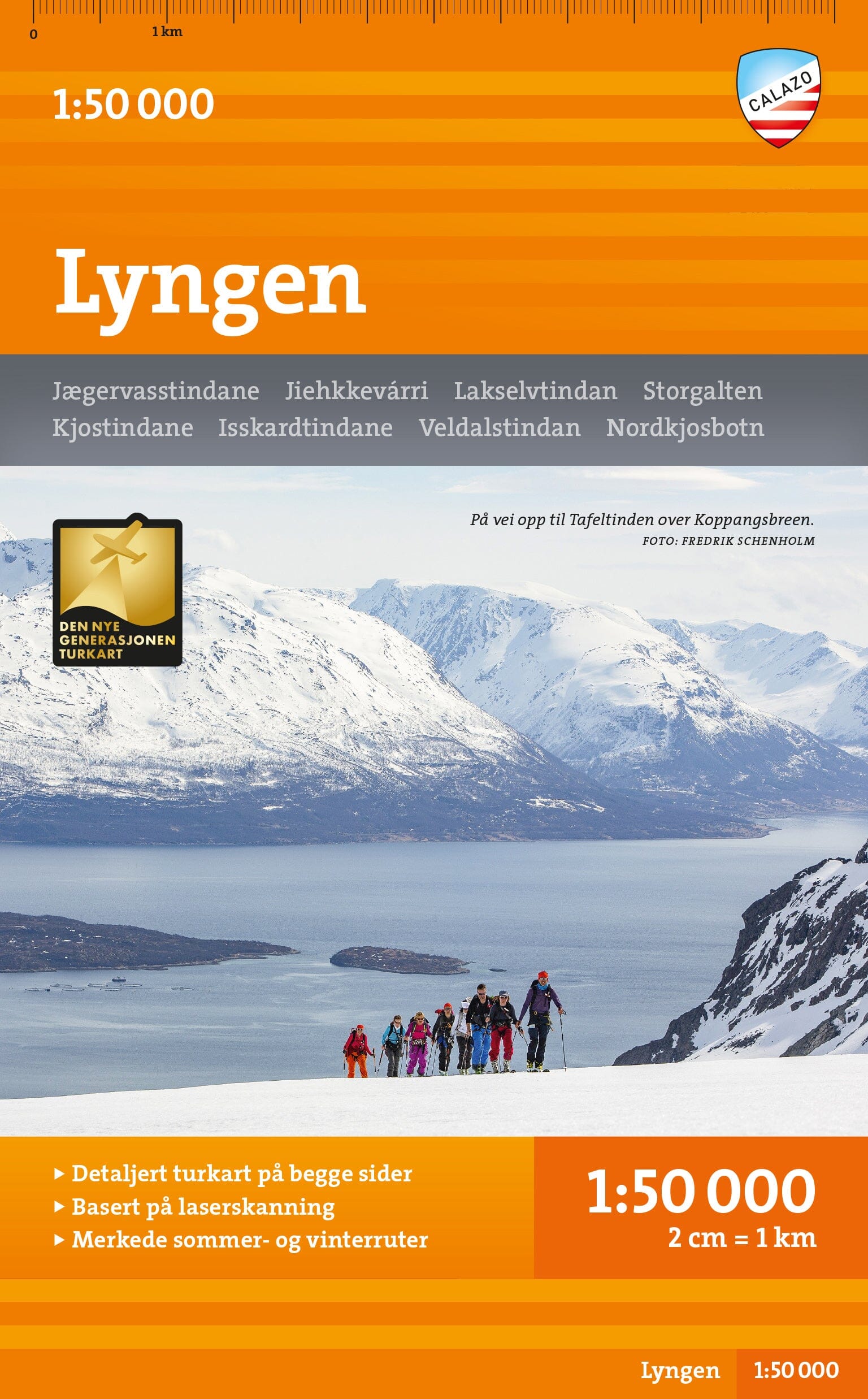
Hiking map - Nærøyfjorden & Lærdalen (Norway) | Calazo - 1:50,000

Price
Regular price CHF 2400
Regular price Sale price CHF 2400
/
  • Shipped within 24 to 48h from our warehouse in France
  • Customs duties may apply on import to your country
  • Free returns (*)
  • Real-time stock levels
  • Cartovia Guarantee – Delivery issue?
    We resend immediately upon receiving a simple photo.
  • Low stock - 1 item left
  • Backordered, shipping soon
Tax included.

Frequently bought together:

The Nærøyfjorden and Lærdalen (Norway) hiking map offers highly precise mapping of Aurlandsfjord, the spectacular Nærøyfjord and the Lærdalen valley, at the heart of one of Norway's most impressive natural regions.

This double-sided map is part of Calazo's modern series, created using airborne laser scans and high-resolution photographs. These technologies provide an exceptionally accurate portrayal of terrain and trails, far beyond that of official databases. Many missing routes have been added.

Highlights

  • Detailed depiction of waymarked hiking trails.
  • Information on cabins and mountain huts.
  • Ideal in every season: marked winter routes and groomed ski trails included.
  • Double-sided format for extensive coverage.
  • Durable material suited to mountain conditions.


ISBN/EAN : 9789189880191
Publication date: 2025
Scale: 1/50,000 (1cm=500m)
Printed sides: both sides
Folded dimensions: 13 x 21cm
Language(s): English, Norwegian
Weight: 60 g