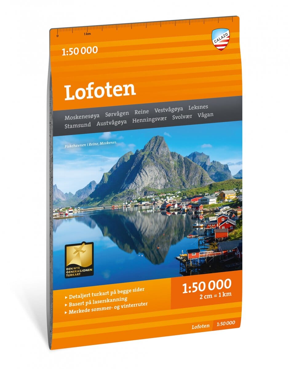
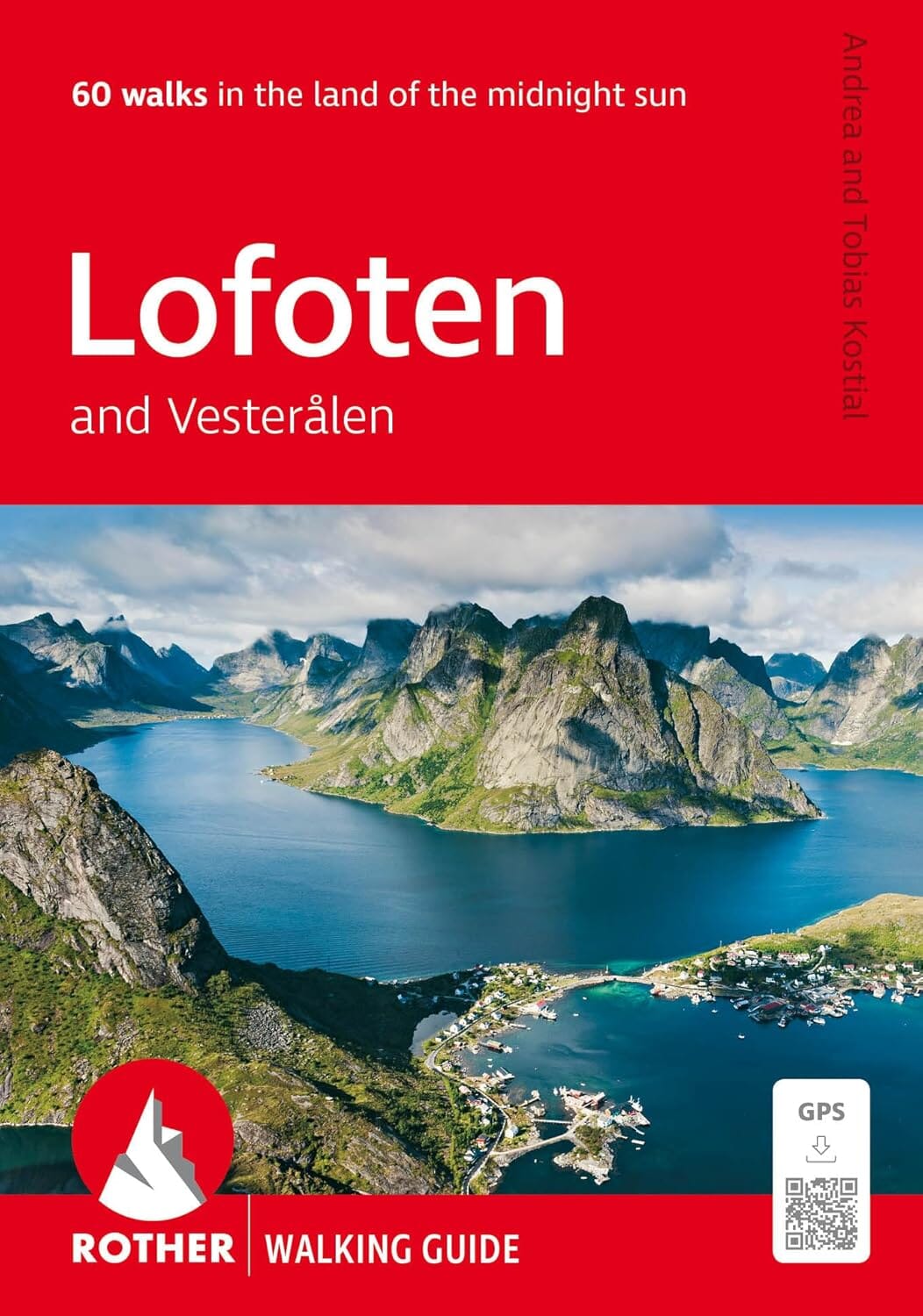
Hiking map - Lofoten (Norway) | Calazo - 1:50,000

Price
Regular price CHF 2500
Regular price Sale price CHF 2500
/
  • In stock in France and in the UK
    Shipped within 24 to 48h from the warehouse closest to you
  • Customs duties may apply on import to your country
  • Free returns (*)
  • Real-time stock levels
  • Cartovia Guarantee – Delivery issue?
    We resend immediately upon receiving a simple photo.
  • In stock, ready to ship
  • Backordered, shipping soon
Tax included.

Frequently bought together:

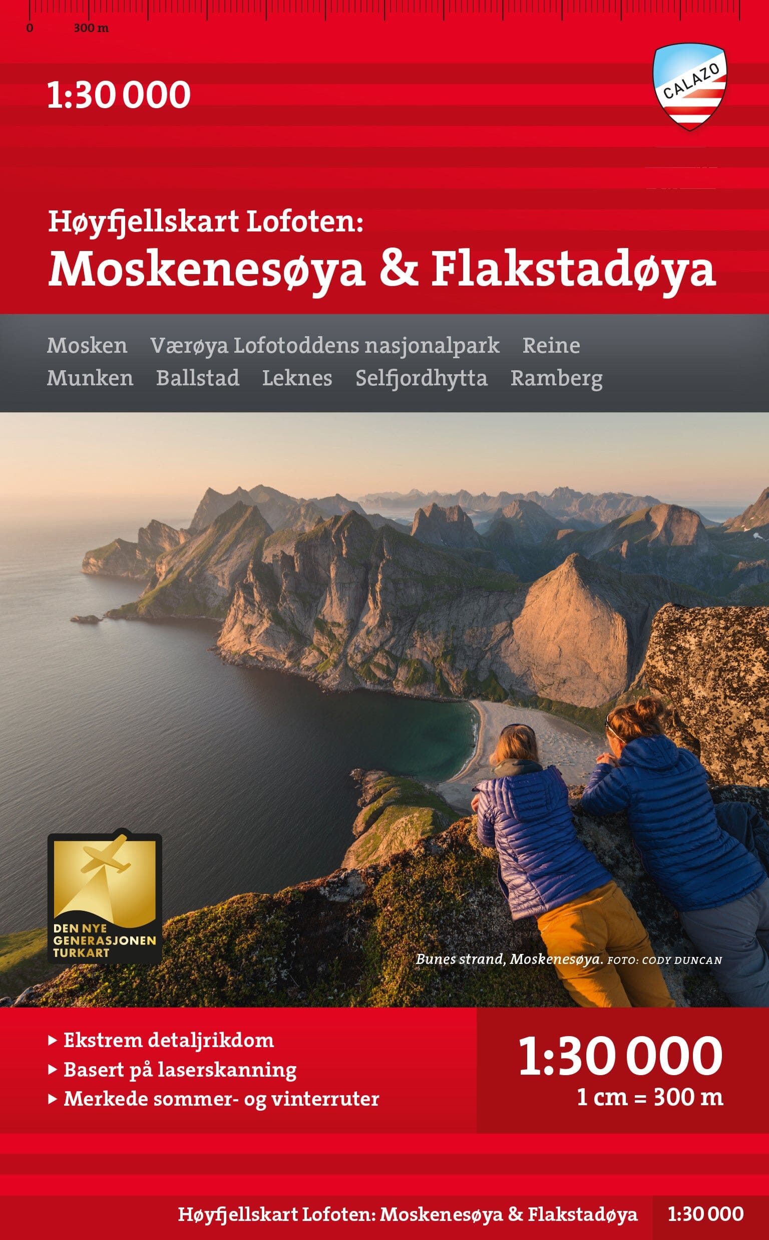
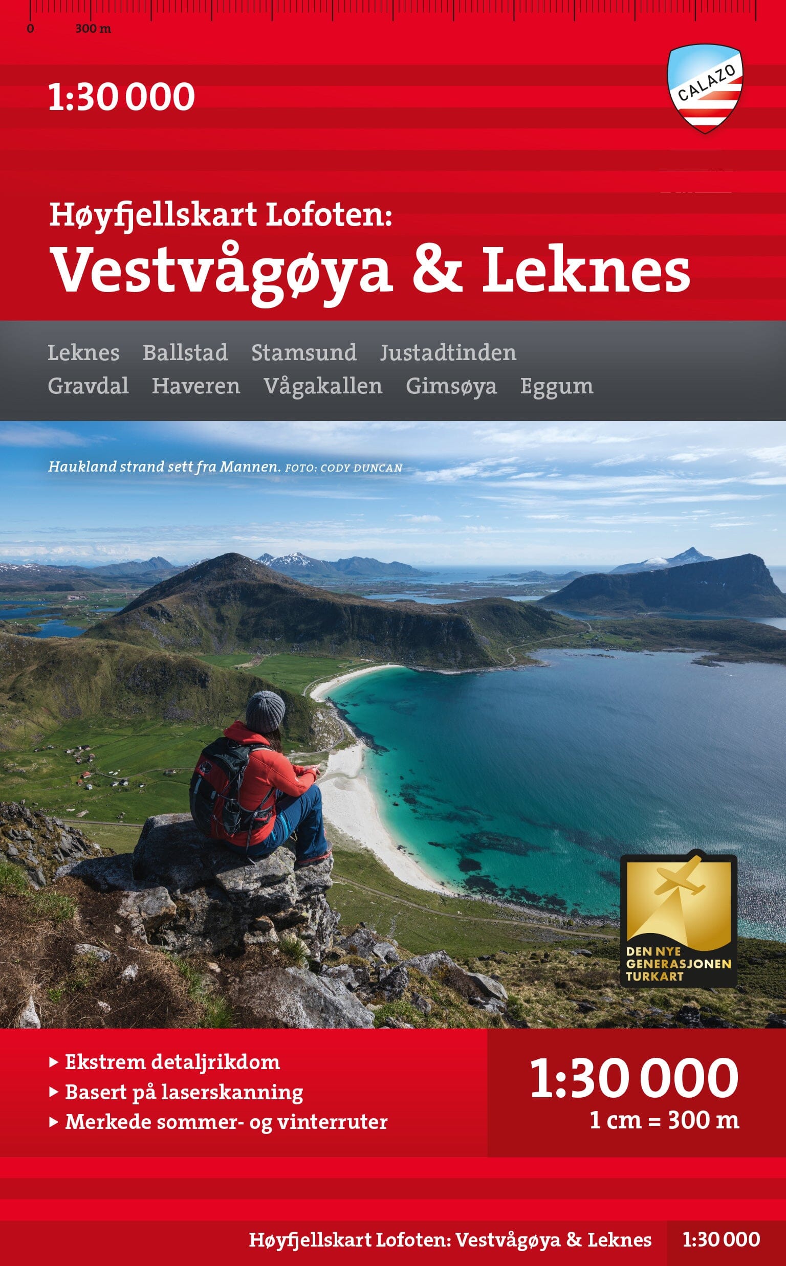
This Calazo hiking map covers the whole of the Lofoten archipelago, one of Norway's most spectacular destinations. Known for their steep mountains plunging into the sea, the Lofoten Islands offer many iconic routes such as Reinebringen, Ryten and Mannen.

With next-generation cartography based on LIDAR data, this map offers exceptional detail for hiking and outdoor activities.

Features

  • Scale: 1:50,000.
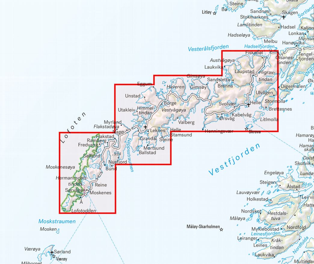
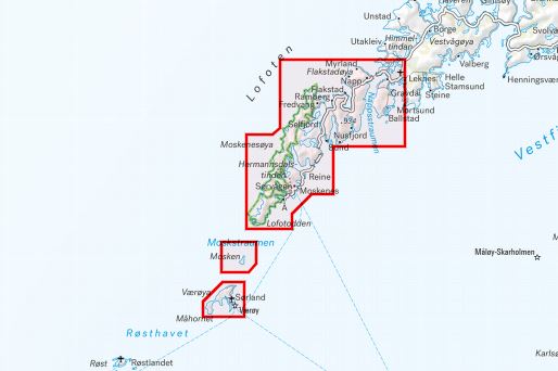
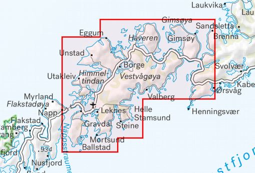
  • Complete coverage of the Lofoten archipelago.
  • All mountain huts and cabins shown.
  • Waymarked hiking trails.
  • Winter routes and cross-country ski trails.
  • High-precision mapping based on LIDAR surveys.
  • Printed on Tyvek®.

Area covered

  • All of the Lofoten Islands.
  • Reinebringen.
  • Ryten.
  • Mannen.
  • The archipelago's main peaks, villages and trails.

Highlights

  • Among the most detailed maps available for Lofoten.
  • Trails updated through analysis of aerial imagery.
  • Includes paths missing from official databases.
  • Suitable for summer hiking and winter activities.
  • Mountain huts and waymarked routes located.

Highly durable material

Printed on Tyvek®, a material particularly valued by hikers:

  • 100% waterproof.
  • Highly tear-resistant.
  • Does not deteriorate along the folds.
  • Remains legible even in difficult conditions.


ISBN/EAN : 9789189371910
Publication date: 2024
Scale: 1/50,000 (1cm=500m)
Printed sides: both sides
Folded dimensions: 13 x 21cm
Language(s): English, Norwegian
Weight: 60 g