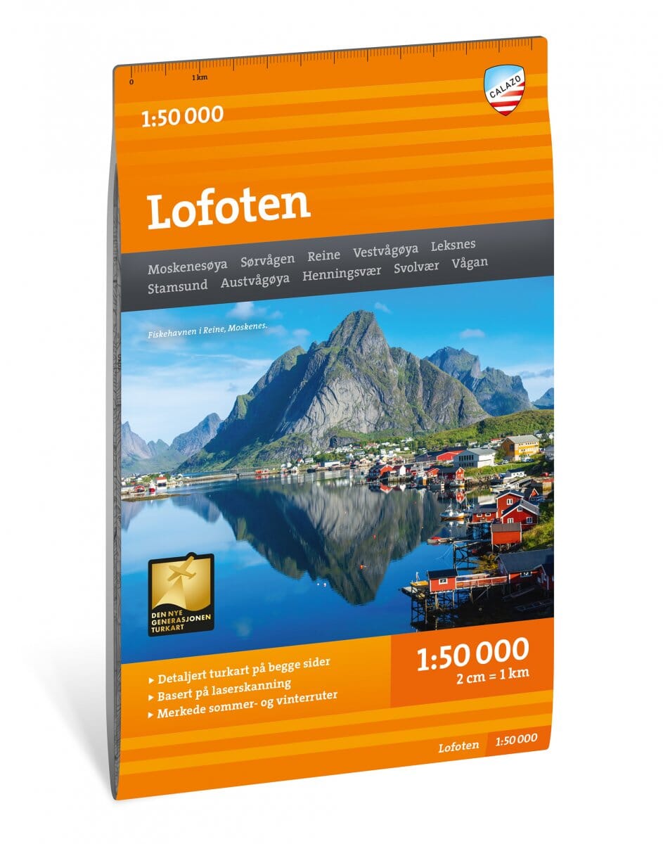
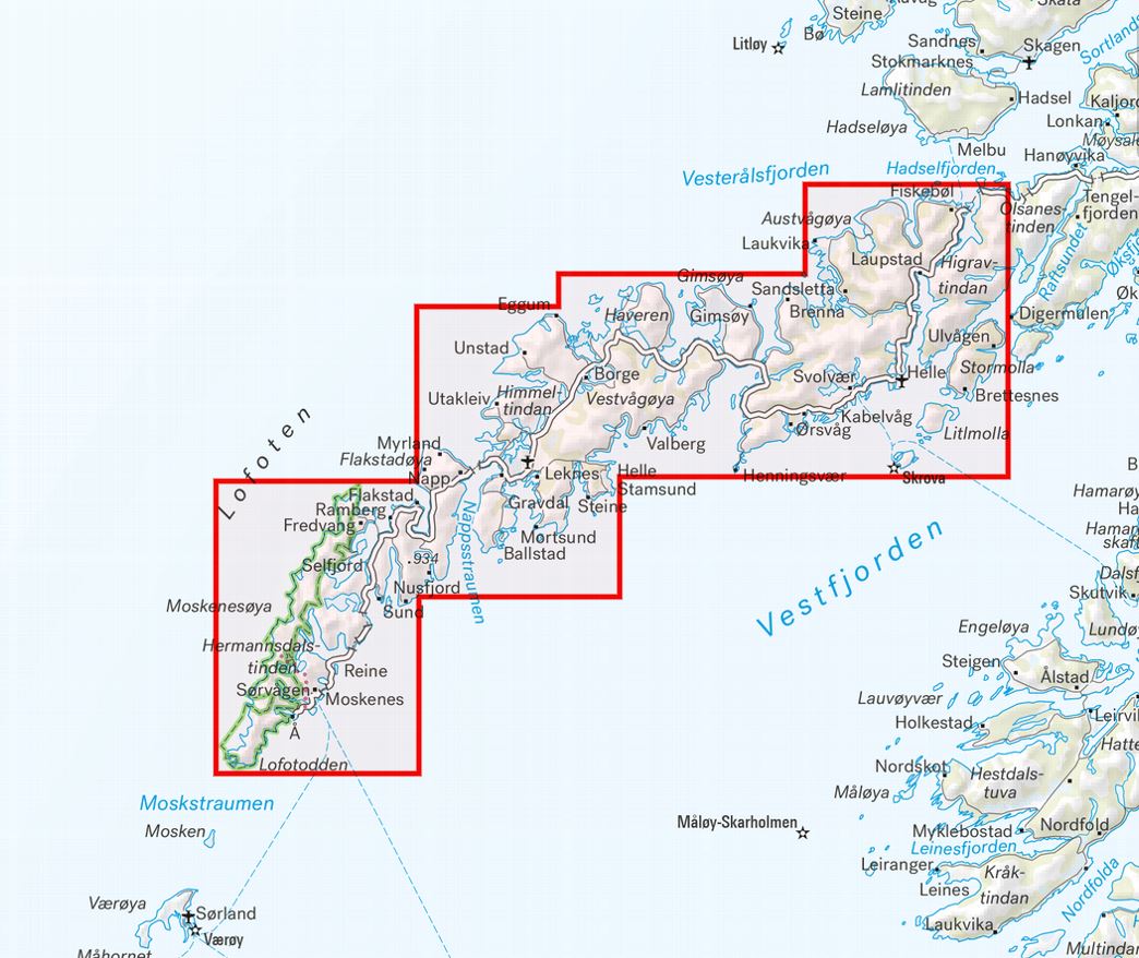
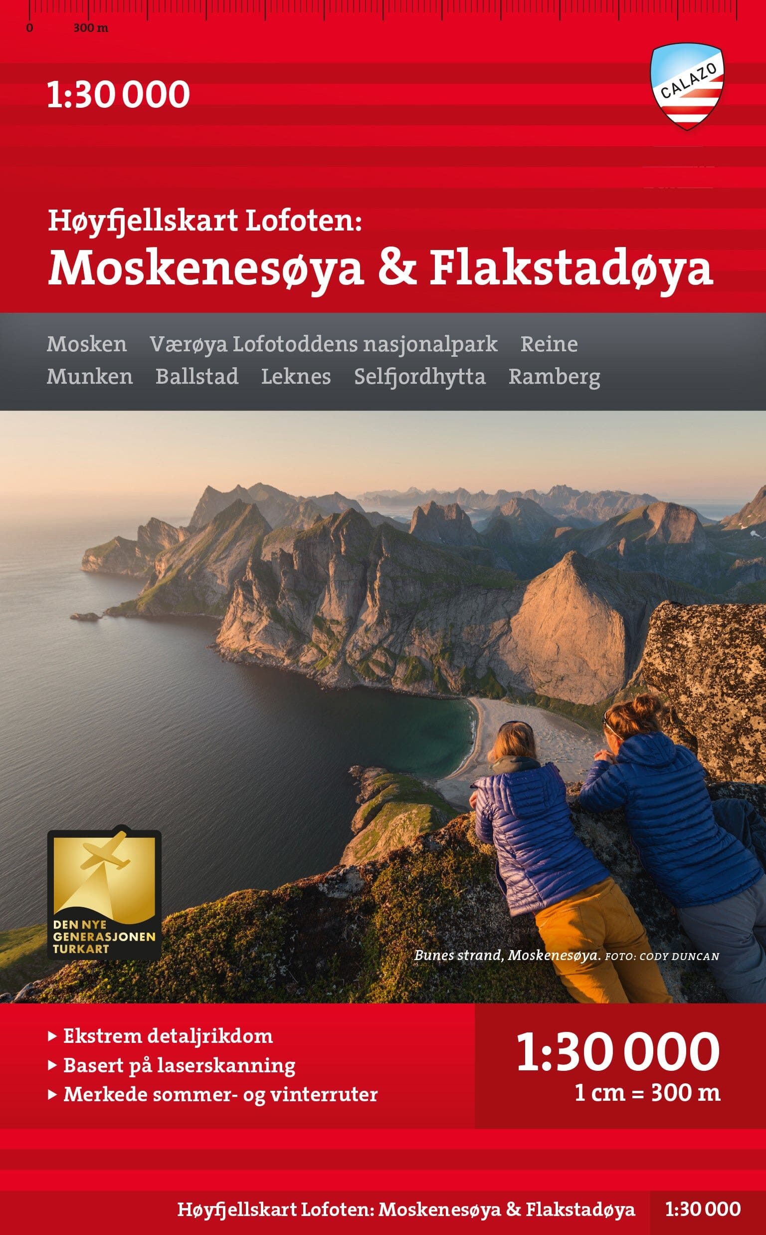
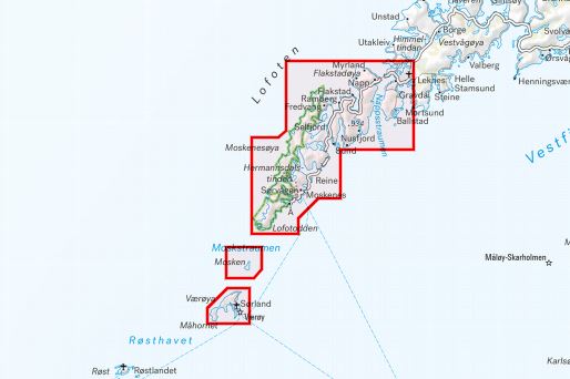
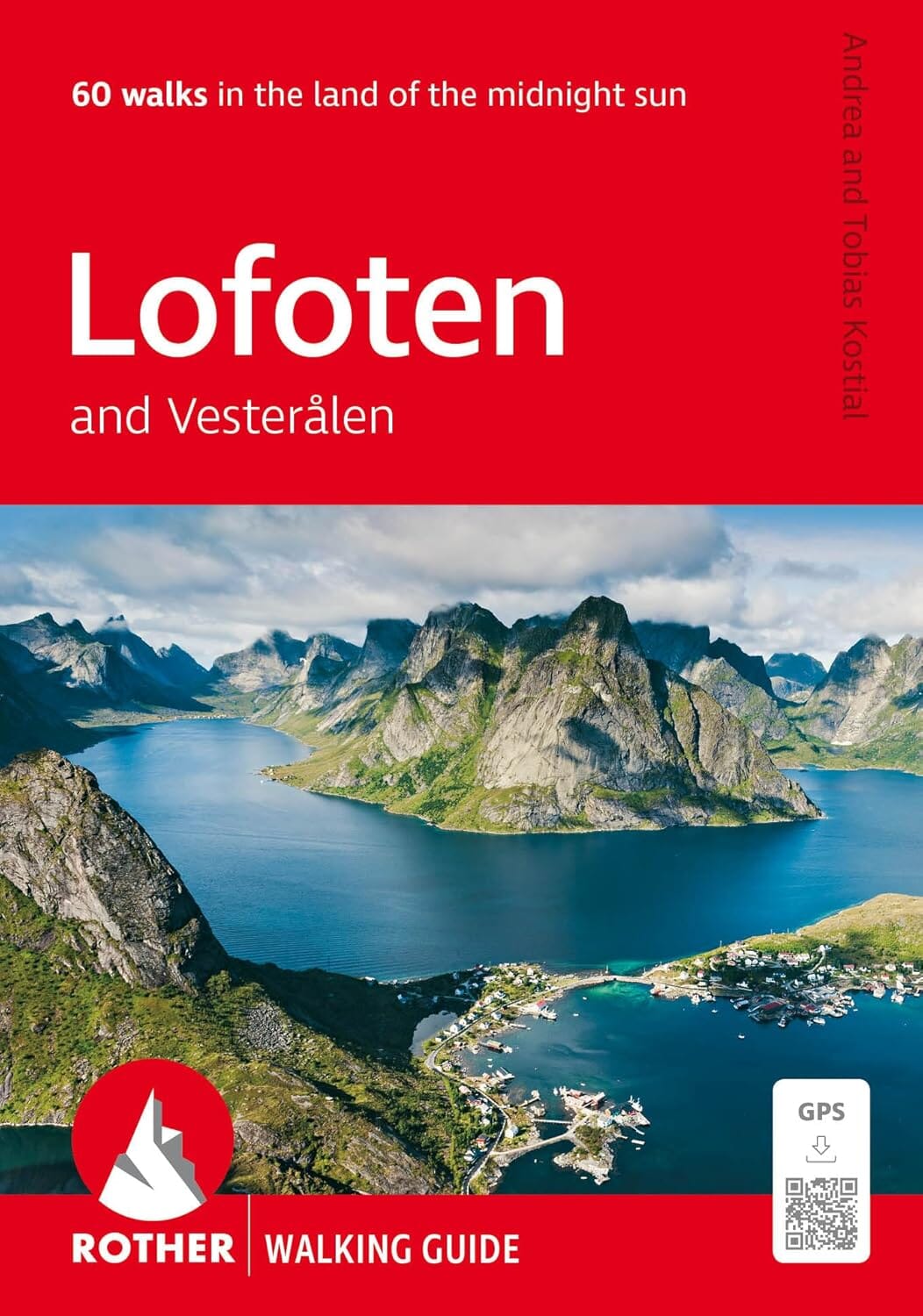
Explore the western Lofoten Islands with this 1:50 000 Nordeca Turkart Pro hiking map. Published in 2026, it covers Flakstadøya, Moskenesøya, Ramberg, Reine, Røst and Å, as well as the spectacular Moskstraumen area.
Designed for hiking, cycling and outdoor activities, this water-resistant map includes extensive practical DNT information, main trails, huts and mountain routes.
- Scale: 1:50 000.
- Size: 70 x 100 cm.
- Edition: 2026.
- Languages: Norwegian / English.
- Water-resistant map.
- DNT information.
- Hiking trails, cycling and skiing routes.
- Practical information on navigation using a map, compass and GPS.
Main areas covered
Lofoten, Flakstadøya, Moskenesøya, Lofotodden, Ramberg, Reine, Sørvågen, Å, Røst, Værøya, Moskstraumen and Hermannsdalstinden.
Main huts and accommodation
The map shows Munkebu, Selfjordhytta and Fredvang, among others.