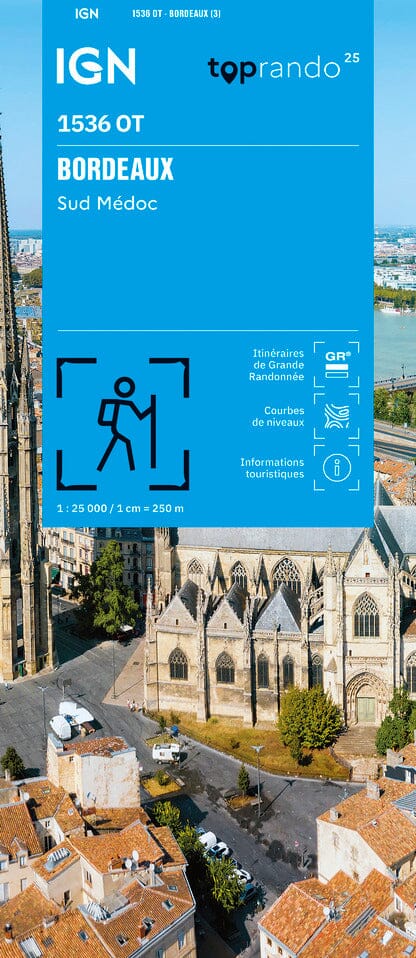
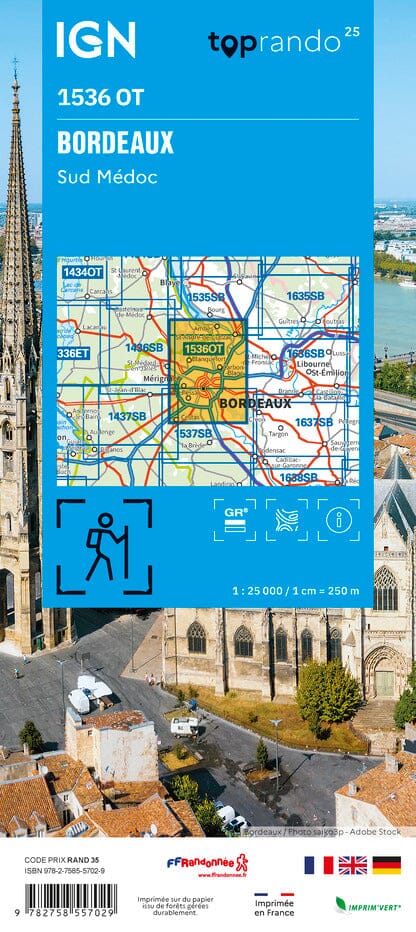
The IGN TOP 25 hiking map No. 1536 OT covers the following area: Bordeaux, Southern Médoc.
- Contour lines at 10-metre intervals.
- Detailed legend: vegetation, rocks, transport routes down to the smallest paths, buildings down to individual sheds, woodland, isolated trees, rivers, springs and more.
- Waymarked trails and tourist information are shown.
- Scale: 1:25,000 (1 cm = 250 m).
Municipalities covered: Bordeaux, Ambès, Artigues-près-Bordeaux, Lormont, Saint-Vincent-de-Paul, Saint-André-de-Cubzac, Macau, Latresne, Le Bouscat, Cenon, Bouliac, Cubzac-les-Ponts, Fargues-Saint-Hilaire, Saint-Louis-de-Montferrand, Bègles, Cambes, Saint-Loubès, Prignac-et-Marcamps.
Places to discover: Medoc, Peychaud Castle, Louvière Castle, Haut-Brion, St-Seurin, Parc Bordelais, Saige Castle, Malleret Castle, Pont de Cubzac, Bruges Nature Reserve, Ste-Croix, Siran, Prieuré de Cayac.