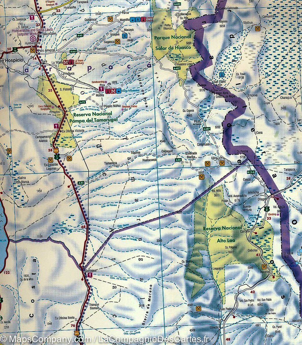
Altos de Teno - Carte de voyage et de trekking | Trekking Chile carte de randonnée Trekking Chile Default Title

Altos de Teno - Travel and trekking map | Trekking Chile

Price
Regular price CHF 2500
Regular price Sale price CHF 2500
/
  • Shipped within 24 to 48h from our warehouse in the USA
  • Customs duties may apply on import to your country
  • Free returns (*)
  • Real-time stock levels
  • Cartovia Guarantee – Delivery issue?
    We resend immediately upon receiving a simple photo.
  • In stock, ready to ship
  • Backordered, shipping soon
Tax included.

Frequently bought together:

Altos de Teno is described as the first map of the Andes east of San Fernando and Curico in central Chile. It was developed by the Institute of Cartography at Dresden University of Technology.

  • 1:150,000 overview map: between Tinguiririca (4,280 m) and Planchon–Peteroa–Azufre (4,113 m) volcanoes, including Planchon volcano (3,985 m), Cerro Alto del Padre (3,349 m) and the private Alto Huemul nature reserve.
  • Two detailed 1:50,000 maps: Reserva Alto Huemul and Planchon–Peteroa.
  • GPS compatibility, hiking routes, 50 m contour intervals, mountain huts, lodges and campsites.
  • Landscape images and drawings of local wildlife.

Trekkingchile, 1st edition 2017. Trekking map printed on eco-friendly, water-resistant and tear-resistant stone paper. Text in English, German and Spanish.


ISBN/EAN : 9789568925307
Publication date: 2017
Unfolded dimensions: 23.62 x 19.69 inch / 60 x 50cm
Language(s): English Spanish
Weight: 100 g