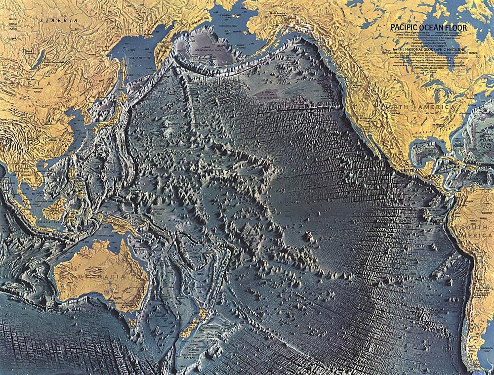
Carte de l'océan Atlantique de 1955 carte murale roulée (en tube) National Geographic Historic POD Default Title

1955 Map of the Atlantic Ocean

Price
Regular price CHF 4000
Regular price Sale price CHF 4000
/
  • Shipped within 24 to 48h from our warehouse in the USA
  • Customs duties may apply on import to your country
  • Free returns (*)
  • Real-time stock levels
  • Cartovia Guarantee – Delivery issue?
    We resend immediately upon receiving a simple photo.
  • In stock, ready to ship
  • Backordered, shipping soon
Tax included.

Frequently bought together:

This map of the Atlantic Ocean was published in December 1955.

It shows coastlines and ocean bathymetry and includes numerous historical notes. An inset is devoted to underwater topography.


ISBN/EAN : 2321601M
Publication date: 1955
Unfolded dimensions: 28in / 39.5in
Language(s): English
Weight: 200 g