Tourist Atlas - Wild Atlantic Way (Atlantic Coast of Ireland) | Xploreit
- Free returns (*)
- Real-time stock levels
-
Cartovia Guarantee – Delivery issue?
We resend immediately upon receiving a simple photo.
📦 Hard-to-find maps - worldwide shipping
📦 Hard-to-find maps & travel guides - worldwide shipping, 30-day returns
🌞 Summer travel: 20,000+ maps in stock
🌞 Plan your summer: 20,000+ maps and travel guides in stock Details →
✅ Latest editions guaranteed — since 2010
✅ Latest editions guaranteed - 180,000+ travellers equipped since 2010
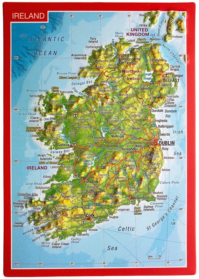
The Wild Atlantic Way is the longest defined coastal route in the world. It includes Ireland's northernmost point, Malin Head, in Donegal, and its southernmost point, Mizen Head in Cork. Along the way, you'll find a myriad of spectacular Discovery Points with incredible panoramic views.
This atlas divides the route into 30 detailed but easy-to-read fold-out maps. The coastal routes are categorized so you're immediately aware of any narrow sections and can also see where the truly scenic stretches are. Each section can be completed in a day or less, and there are useful distance tables for towns and villages to help you plan your trip.
All official Discovery Points are clearly displayed, including the 15 iconic Signature Points. Over 40 different categories of visitor information are displayed to help you locate many hidden gems and well-known attractions. A variety of coastal and forest walks close to the route are detailed.
ISBN/EAN
: 9780955265594
Publication date: 2023
Pagination: 106 pages
Scale: varied
Folded dimensions: 16.4 x 27cm
Language(s): English
Weight:
366 g
Un peu de français serait la cerise 🍒 sur le gâteau
Dommage qu il n’existe pas en français
The exclusive newsletter for travel and discovery enthusiasts!