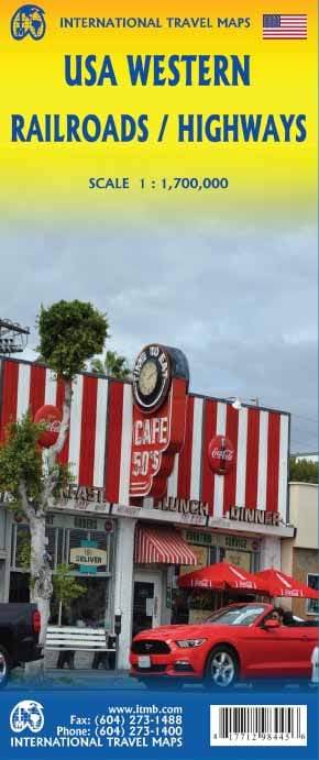
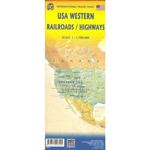
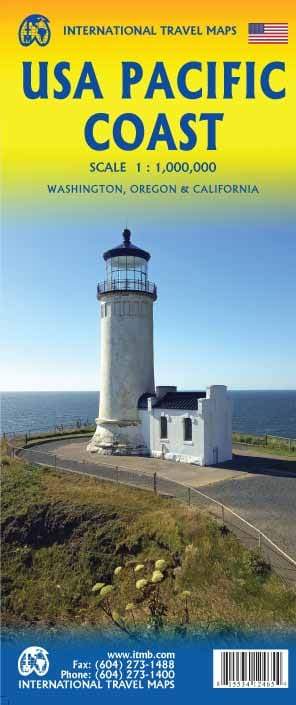
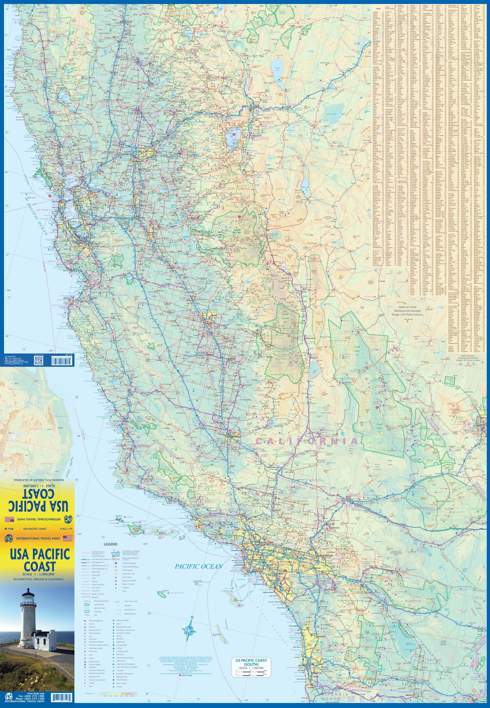
Western United States Road map published by ITM. This double - sided double - sided map, with a side extending from Vancouver south of Red Bluff in California and up Casper in the East (Wyoming). The other side extends from the north of Sacramento (California) to the Mexican border (from north to south) and and the Pacific Coast in Denver and El Paso (West in East). Index of cities included. Scale 1: 1,700,000 (1 cm = 17 km).
ISBN/EAN : 9781771298445
Publication date: 2016
Scale: 1/1,700,000 (1 cm = 17 km)
Printed sides: both sides
Folded dimensions: 24.6 x 10.3 x 0.5cm
Unfolded dimensions: 68x100cm
Language(s): English
Weight:
52 g


