Travel Map - Western USA (Highways & Railways) | ITM

Price
Regular price CHF 1300
Regular price Sale price CHF 1300
/
  • Shipped within 24 to 48h from our warehouse in France
  • Customs duties may apply on import to your country
  • Free returns (*)
  • Real-time stock levels
  • Cartovia Guarantee – Delivery issue?
    We resend immediately upon receiving a simple photo.
  • In stock, ready to ship
  • Backordered, shipping soon
Tax included.

Frequently bought together:

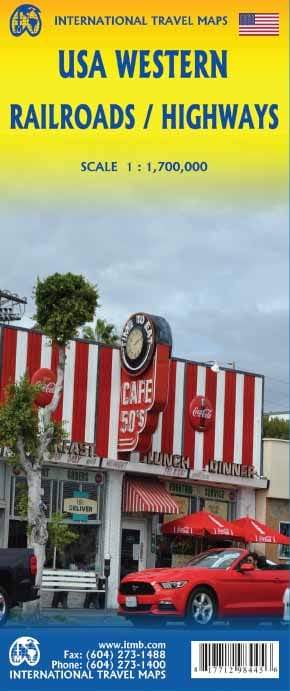
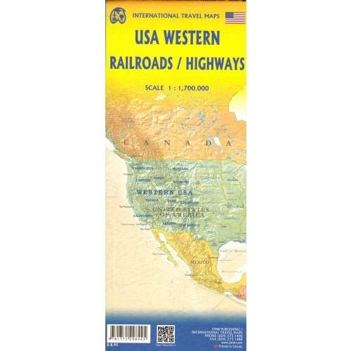
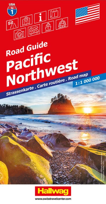
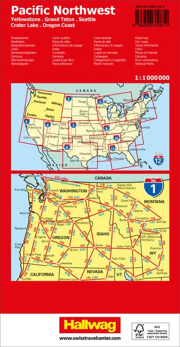
This double-sided road map of the Western United States, published by ITM, is at a scale of 1:1,700,000 (1 cm = 17 km).

One side extends from Vancouver to Red Bluff, California, and east to Casper, Wyoming. The other covers the area from north of Sacramento to the Mexican border, and from the Pacific Coast to Denver and El Paso. A town index is included.


ISBN/EAN : 9781771298445
Publication date: 2016
Scale: 1/1,700,000 (1 cm = 17 km)
Printed sides: both sides
Folded dimensions: 24.6 x 10.3 x 0.5cm
Unfolded dimensions: 68x100cm
Language(s): English
Weight: 52 g