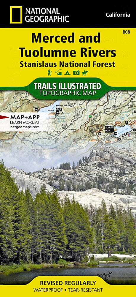
Carte de randonnée n° 808 - Merced and Tuolumne Rivers / Stanislaus National Forest, Stanislaus National Forests (California) | National Geographic carte de randonnée National Geographic

Hiking map no. 808 - Merced and Tuolumne Rivers / Stanislaus National Forest (California) | National Geographic

Price
Regular price CHF 1600
Regular price Sale price CHF 1600
/
  • In stock in the USA and in the UK
    Shipped within 24 to 48h from the warehouse closest to you
  • Customs duties may apply on import to your country
  • Free returns (*)
  • Real-time stock levels
  • Cartovia Guarantee – Delivery issue?
    We resend immediately upon receiving a simple photo.
  • In stock, ready to ship
  • Backordered, shipping soon
Tax included.

Frequently bought together:

Hiking map of the Merced and Tuolumne Rivers / Stanislaus National Forest, California, published by National Geographic.

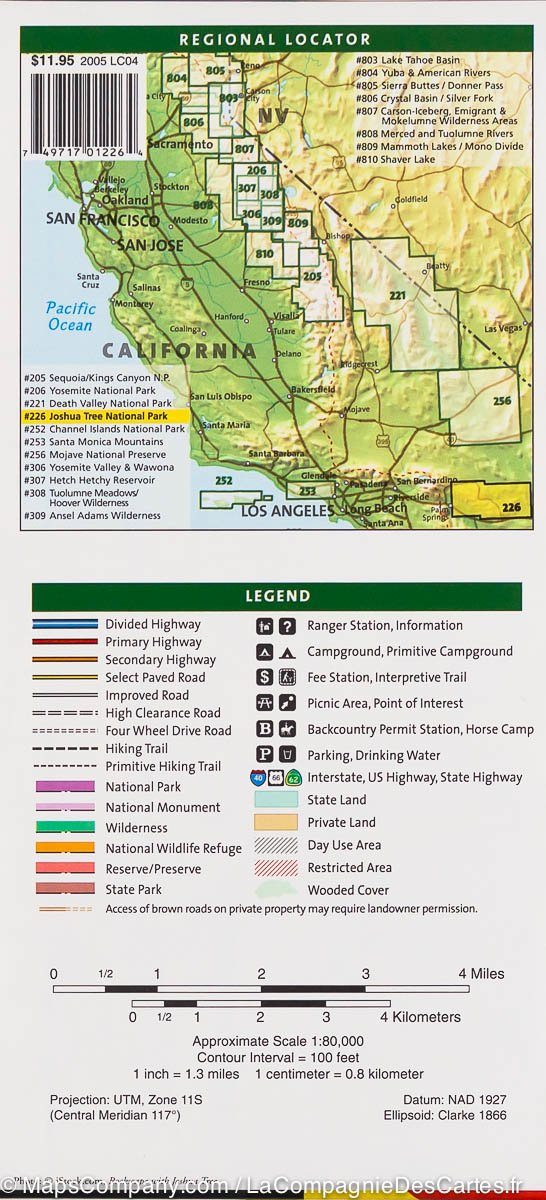
This is the third of five maps of California's Sierra Nevada designed to form seamless coverage of heavily visited national forest areas between Sequoia / Kings Canyon National Parks and Lake Tahoe.

Coverage includes Stanislaus National Forest; the Merced and Tuolumne Wild and Scenic Rivers; Calaveras Big Trees State Park; Tuolumne State Game Refuge; Ebbetts Pass; Arnold; Mariposa; Sonora; Twain Hart; Mi-Wuk Village; Alpine and Pinecrest Lakes; and more.

  • Trails, trailheads, points of interest and campsites included.
  • Waterproof and tear-resistant.
  • Scale: 1:63 360.


ISBN/EAN : 9781566952415
Publication date: 2020
Scale: 1:63.360 (1cm is 633.6m)
Printed sides: both sides
Language(s): English
Weight: 95 g