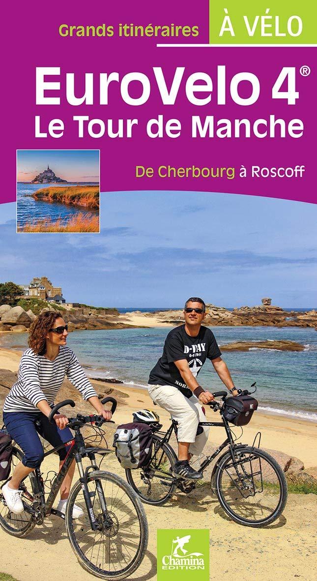
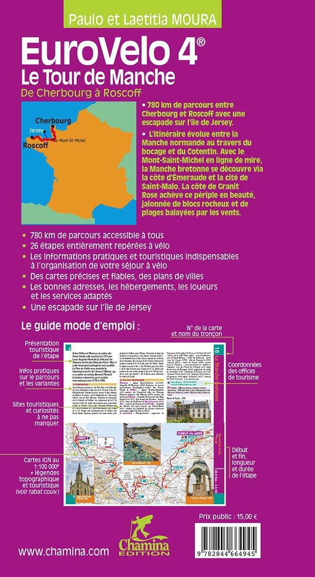
The IGN TOP 25 hiking map No. 0615 ET covers the following area: Morlaix, Plestin-les-Grèves, Carantec.
This highly accurate topographic mapping shows every detail on the ground:
- Transport routes and paths.
- Buildings, including individual sheds.
- Woodland, isolated trees, rivers and springs.
- Contour lines show the terrain.
- Waymarked trails and tourist information are also shown.
Municipalities covered: Plouigneau, Tréduder, Saint-Martin-des-Champs, Lanmeur, Henvic, Locquénolé, Plufur, Plouégat-Moysan, Saint-Michel-en-Grève, Plestin-les-Grèves, Trédrez-Locquémeau, Guimaëc, Saint-Jean-du-Doigt, Garlan, Morlaix, Plouezoc'h, Plougasnou, Taulé, Roscoff, Carentec.
Places to discover: Armorique Regional Nature Park, Rade de Morlaix, Baie de Lannion, Baie de Morlaix, Île Callot, Pointe de Primel, Pointe de Penn-al-Lann, Pointe de Bihit, le Grand-Rocher, Pointe de Séhar, Kermerzit Castle, Ste-Barbe, Kernévez Castle, Penhoat Castle, Ste-Anne Chapel, Calvaire, Cairn de Barnenez, Rosanbo Castle, Ste-Geneviève, Taureau Castle, Notre-Dame des Joies, Jardin Georges Delaselle, Keranroux.