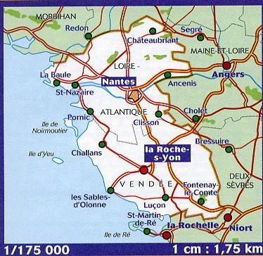
This IGN Blue Series No. 1321 hiking map provides mapping of the Saint-Mars-la-Jaille, Moisdon-la-Rivière area.
- Reference stated in the description: 1321SB.
This highly accurate topographic mapping shows every detail on the ground:
- Transport routes and paths.
- Buildings, including individual sheds.
- Woodland, isolated trees, rivers and springs.
Contour lines show the terrain.
- Waymarked trails and tourist information are also shown.
Municipalities covered: Issé, La Meilleraye-de-Bretagne, Juigné-des-Moutiers, Louisfert, Vallons-de-l'Erdre, Riaillé, Le Pin, Petit-Auverné, Moisdon-la-Rivière, Armaillé, Saint-Julien-de-Vouvantes, Erbray, Grand-Auverné, La Chapelle-Glain, Saint-Mars-la-Jaille.
Places to discover: Étang de la Bourlière, Grd Rvoir de Vioreau, Juigné Forest, Chanveaux Forest, Rives du Don, Site du Val, Moulin du Rat, Menhir Pierre Frite, Melleray, Motte Glain Castle, Vioreau Pleine Nature.